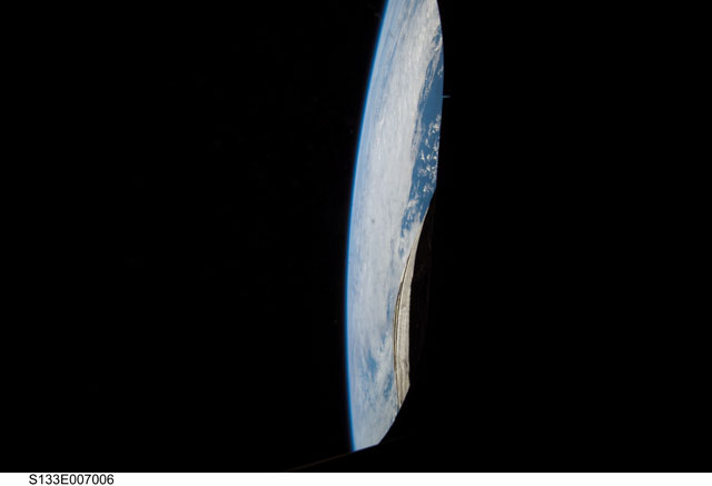
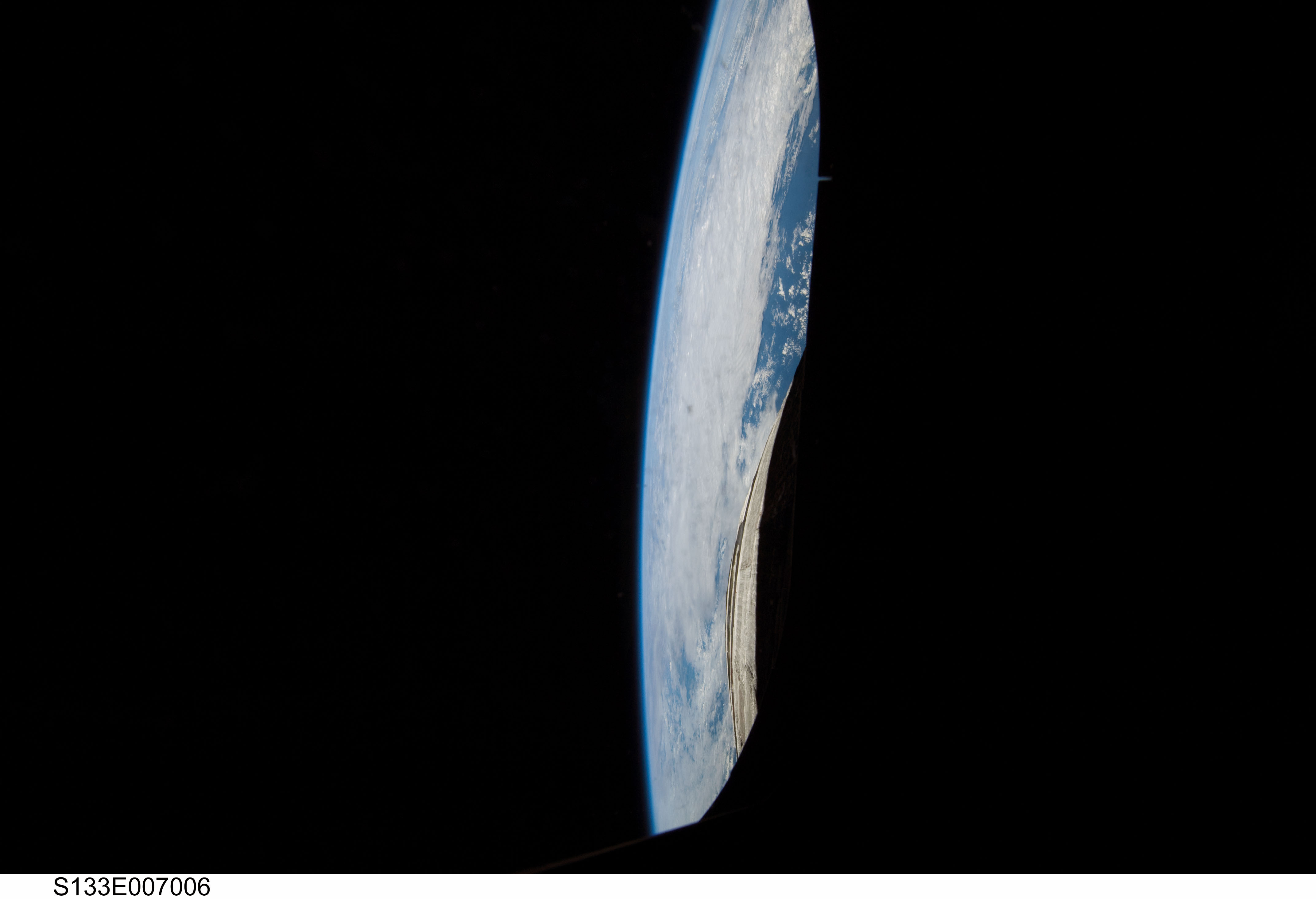
STS133-E-7006
| NASA Photo ID | STS133-E-7006 |
| Focal Length | 12mm |
| Date taken | 2011.02.26 |
| Time taken | 18:26:12 GMT |
Cloud masks available for this image:
Spacecraft nadir point: 20.4° N, 48.6° W
Photo center point:
Photo center point by machine learning:
Photo center point:
Photo center point by machine learning:
Nadir to Photo Center:
Spacecraft Altitude: 187 nautical miles (346km)
Country or Geographic Name: | |
Features: | CATALOGED BY UT-RIO GRANDE VALLEY, EARTH LIMB |
| Features Found Using Machine Learning: | PAN- |
Cloud Cover Percentage: | 0 (no clouds present) |
Sun Elevation Angle: | 37° |
Sun Azimuth: | 241° |
Camera: | Nikon D2Xs Electronic Still Camera |
Focal Length: | 12mm |
Camera Tilt: | |
Format: | 4288E: 4288 x 2848 pixel CMOS sensor, RGBG imager color filter |
Film Exposure: | |
| Additional Information | |
| Width | Height | Annotated | Cropped | Purpose | Links |
|---|---|---|---|---|---|
| 4288 pixels | 2929 pixels | No | No | Download Image | |
| 640 pixels | 437 pixels | No | No | Download Image |
Download Packaged File
Download a Google Earth KML for this Image
View photo footprint information
Download a GeoTIFF for this photo
Image Caption: none
