STS133-E-12652
| NASA Photo ID | STS133-E-12652 |
| Focal Length | 200mm |
| Date taken | 2011.03.08 |
| Time taken | 14:47:11 GMT |

Cloud masks available for this image:
Spacecraft nadir point: 8.9° N, 63.9° W
Photo center point: 11.8° N, 66.7° W
Photo center point by machine learning:
Photo center point: 11.8° N, 66.7° W
Photo center point by machine learning:
Nadir to Photo Center: Northwest
Spacecraft Altitude: 185 nautical miles (343km)
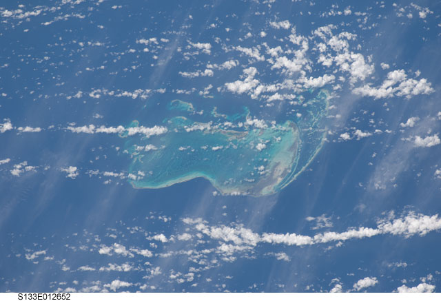
Country or Geographic Name: | VENEZUELA |
Features: | LOS ROQUES ARCH., CARIBBEAN S. |
| Features Found Using Machine Learning: | |
Cloud Cover Percentage: | 75 (51-75)% |
Sun Elevation Angle: | 62° |
Sun Azimuth: | 118° |
Camera: | Nikon D2Xs Electronic Still Camera |
Focal Length: | 200mm |
Camera Tilt: | 53 degrees |
Format: | 4288E: 4288 x 2848 pixel CMOS sensor, RGBG imager color filter |
Film Exposure: | |
| Additional Information | |
| Width | Height | Annotated | Cropped | Purpose | Links |
|---|---|---|---|---|---|
| 4288 pixels | 2929 pixels | No | No | Download Image | |
| 640 pixels | 437 pixels | No | No | Download Image |
Download Packaged File
Download a Google Earth KML for this Image
View photo footprint information
Download a GeoTIFF for this photo
Georeferenced by human interaction - exported 2016-08-16-222759-UTCGeoreferenced by human interaction - exported 2016-08-23-230250-UTC
Georeferenced by human interaction - exported 2018-01-09-020702-UTC
An explanation of the georeference file(s) above
Image Caption: none
