STS109-719-76
| NASA Photo ID | STS109-719-76 |
| Focal Length | 50mm |
| Date taken | 2002.03.05 |
| Time taken | 13:12:18 GMT |
Resolutions offered for this image:
4600 x 4400 pixels 515 x 492 pixels 6822 x 6822 pixels 639 x 639 pixels 400 x 400 pixels
4600 x 4400 pixels 515 x 492 pixels 6822 x 6822 pixels 639 x 639 pixels 400 x 400 pixels


Cloud masks available for this image:
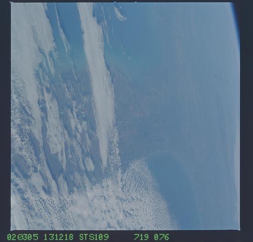
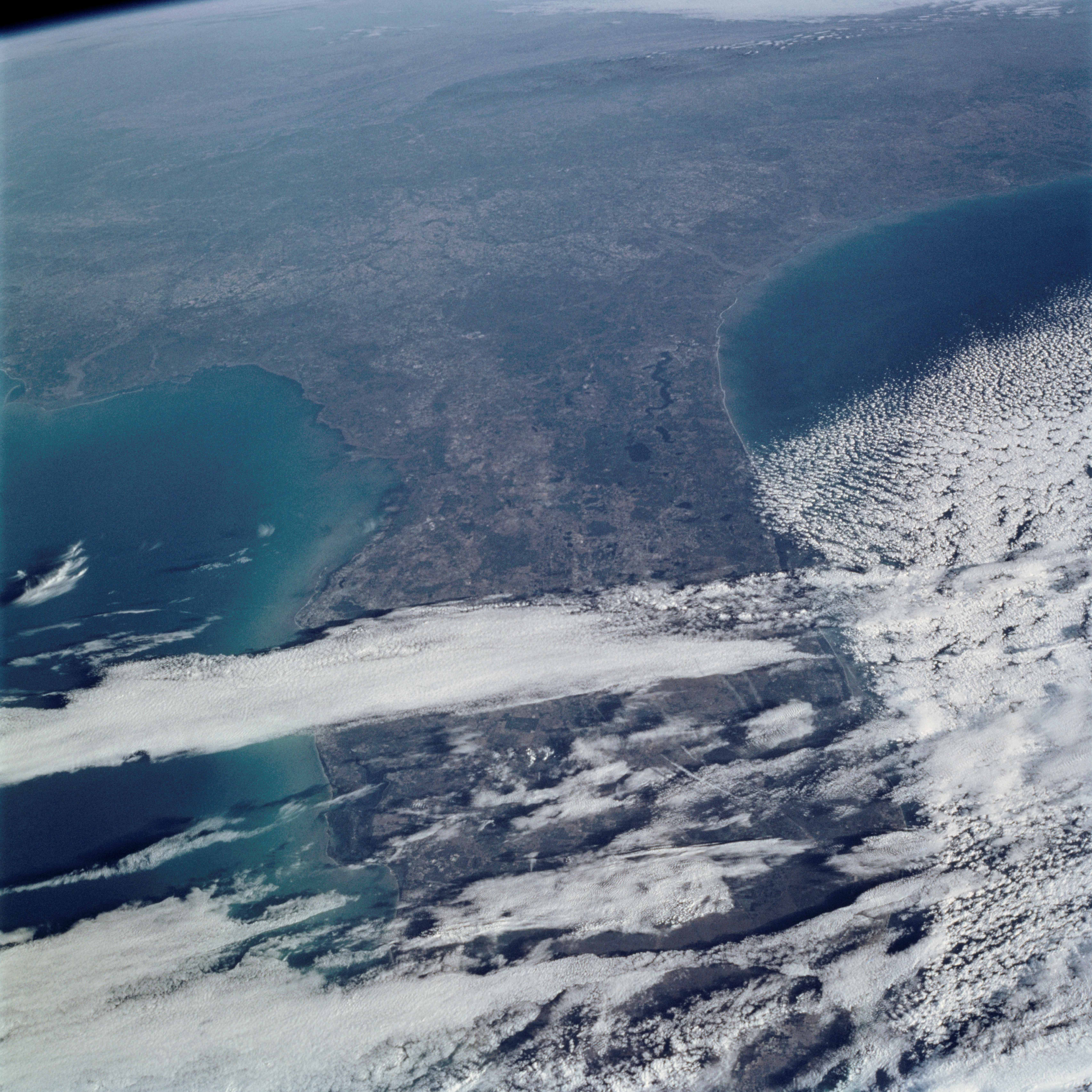
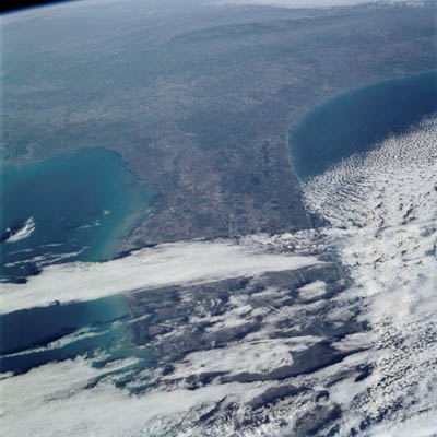
Spacecraft nadir point: 21.6° N, 79.8° W
Photo center point: 29.5° N, 81.5° W
Photo center point by machine learning:
Photo center point: 29.5° N, 81.5° W
Photo center point by machine learning:
Nadir to Photo Center: North
Spacecraft Altitude: 304 nautical miles (563km)
Country or Geographic Name: | USA-FLORIDA |
Features: | FLORIDA PENINSULA |
| Features Found Using Machine Learning: | |
Cloud Cover Percentage: | 50 (26-50)% |
Sun Elevation Angle: | 21° |
Sun Azimuth: | 106° |
Camera: | Hasselblad |
Focal Length: | 50mm |
Camera Tilt: | High Oblique |
Format: | 5069: Kodak Elite 100S, E6 Reversal, Replaces Lumiere, Warmer in tone vs. Lumiere |
Film Exposure: | |
| Additional Information | |
| Width | Height | Annotated | Cropped | Purpose | Links |
|---|---|---|---|---|---|
| 4600 pixels | 4400 pixels | No | No | Download Image | |
| 515 pixels | 492 pixels | No | No | Download Image | |
| 6822 pixels | 6822 pixels | Public Affairs Office (PAO) | Download Image | ||
| 639 pixels | 639 pixels | No | No | Public Affairs Office (PAO) | Download Image |
| 400 pixels | 400 pixels | No | No | Photographic Highlights | Download Image |
Download Packaged File
Download a Google Earth KML for this Image
View photo footprint information
Download a GeoTIFF for this photo
Image Caption: This oblique view looks northward from South Florida to the southern Appalachians. Most of the southeastern US appears in crisp, clear air in the wake of a cold front that has pushed well off the mainland. Only a few jet stream and low-level clouds remain over South Florida and Gulf Stream.
