STS105-711-54

| NASA Photo ID | STS105-711-54 |
| Focal Length | 250mm |
| Date taken | 2001.08.12 |
| Time taken | GMT |
Resolutions offered for this image:
1031 x 1024 pixels 2063 x 2048 pixels 4127 x 4096 pixels 515 x 512 pixels 4088 x 4088 pixels 639 x 639 pixels 400 x 400 pixels
1031 x 1024 pixels 2063 x 2048 pixels 4127 x 4096 pixels 515 x 512 pixels 4088 x 4088 pixels 639 x 639 pixels 400 x 400 pixels


Cloud masks available for this image:
Spacecraft nadir point:
Photo center point: 30.0° N, 31.0° E
Photo center point by machine learning:
Photo center point: 30.0° N, 31.0° E
Photo center point by machine learning:
Nadir to Photo Center:
Spacecraft Altitude: nautical miles (0km)
Country or Geographic Name: | EGYPT |
Features: | NILE DELTA, AGRICULTURE |
| Features Found Using Machine Learning: | |
Cloud Cover Percentage: | 10 (1-10)% |
Sun Elevation Angle: | ° |
Sun Azimuth: | ° |
Camera: | Hasselblad |
Focal Length: | 250mm |
Camera Tilt: | |
Format: | 5069: Kodak Elite 100S, E6 Reversal, Replaces Lumiere, Warmer in tone vs. Lumiere |
Film Exposure: | |
| Additional Information | |
| Width | Height | Annotated | Cropped | Purpose | Links |
|---|---|---|---|---|---|
| 1031 pixels | 1024 pixels | No | No | Download Image | |
| 2063 pixels | 2048 pixels | No | No | Download Image | |
| 4127 pixels | 4096 pixels | No | No | Download Image | |
| 515 pixels | 512 pixels | No | No | Download Image | |
| 4088 pixels | 4088 pixels | No | No | Public Affairs Office (PAO) | Download Image |
| 639 pixels | 639 pixels | No | No | Public Affairs Office (PAO) | Download Image |
| 400 pixels | 400 pixels | No | No | Photographic Highlights | Download Image |
Download Packaged File
Download a Google Earth KML for this Image
View photo footprint information
Download a GeoTIFF for this photo
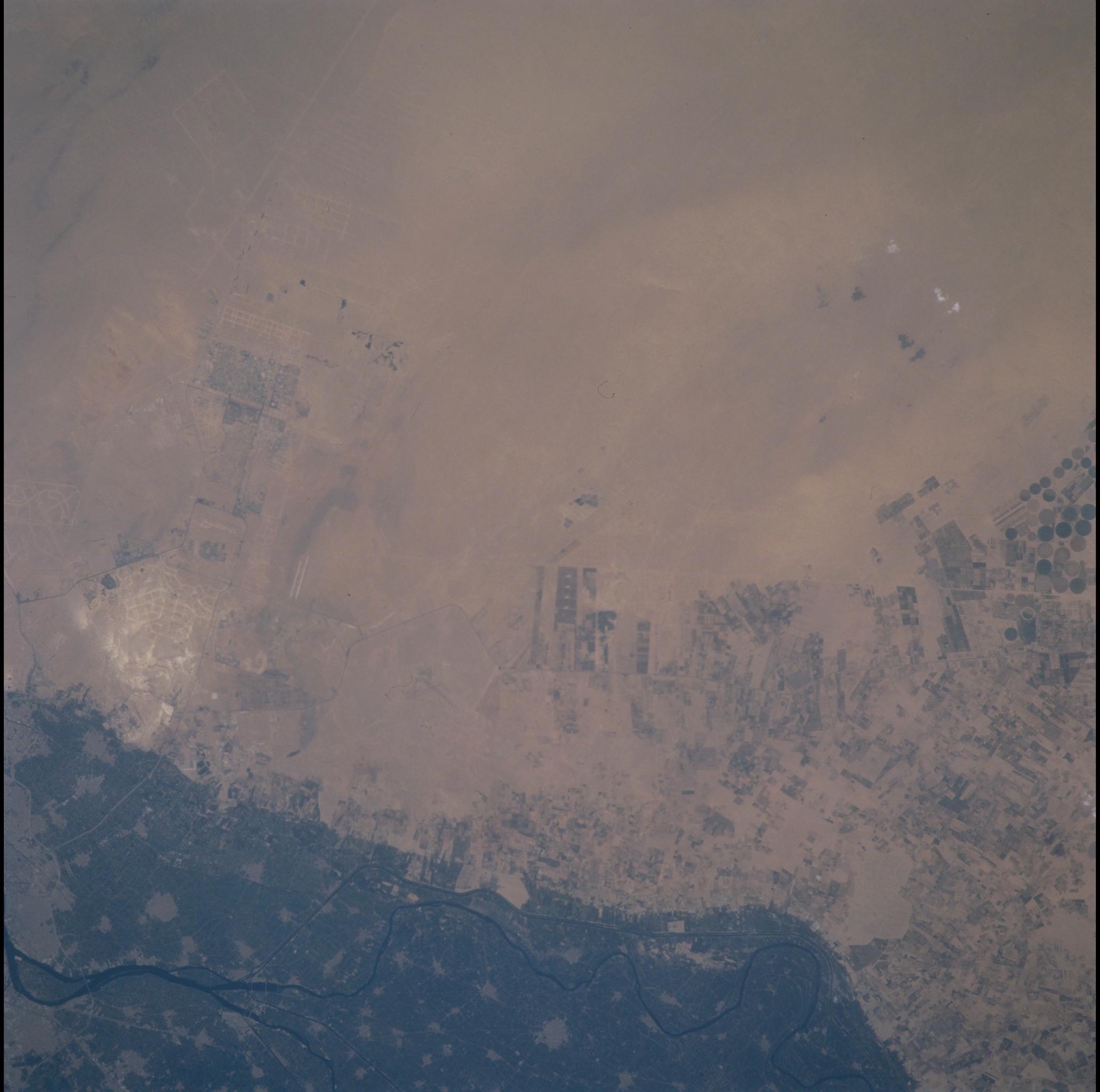
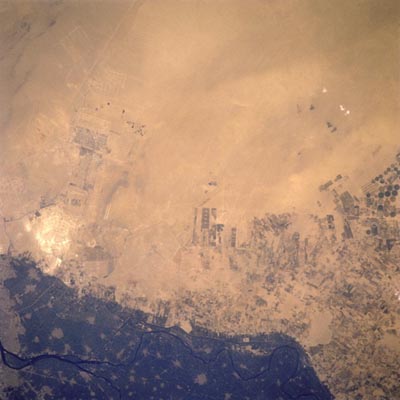
Image Caption: Nile River Margin, Egypt
New agricultural development that extends into the desert to the west of the heavily cultivated darker looking region of the Nile River Delta (bottom left and center of the image) can be seen in this near-vertical view. This newly developing agricultural region located to the northwest of the city of Cairo, has been expanding since the mid- to late- 1990's. Center pivot irrigation fields (circular) are visible at the right center of the image. The Rosetta (Rashid) River can be seen meandering from south to north (left to right) at the bottom of the image.
New agricultural development that extends into the desert to the west of the heavily cultivated darker looking region of the Nile River Delta (bottom left and center of the image) can be seen in this near-vertical view. This newly developing agricultural region located to the northwest of the city of Cairo, has been expanding since the mid- to late- 1990's. Center pivot irrigation fields (circular) are visible at the right center of the image. The Rosetta (Rashid) River can be seen meandering from south to north (left to right) at the bottom of the image.
