STS104-706-AF

| NASA Photo ID | STS104-706-AF |
| Focal Length | 250mm |
| Date taken | 2001.07.__ |
| Time taken | GMT |
Resolutions offered for this image:
4055 x 4055 pixels 1031 x 1024 pixels 2063 x 2048 pixels 4127 x 4096 pixels 515 x 512 pixels 639 x 639 pixels 400 x 400 pixels
4055 x 4055 pixels 1031 x 1024 pixels 2063 x 2048 pixels 4127 x 4096 pixels 515 x 512 pixels 639 x 639 pixels 400 x 400 pixels


Cloud masks available for this image:
Spacecraft nadir point:
Photo center point: 31.5° N, 121.5° E
Photo center point by machine learning:
Photo center point: 31.5° N, 121.5° E
Photo center point by machine learning:
Nadir to Photo Center:
Spacecraft Altitude: nautical miles (0km)
Country or Geographic Name: | CHINA |
Features: | YANGTZE RIVER, SHANGHAI |
| Features Found Using Machine Learning: | |
Cloud Cover Percentage: | 10 (1-10)% |
Sun Elevation Angle: | ° |
Sun Azimuth: | ° |
Camera: | Hasselblad |
Focal Length: | 250mm |
Camera Tilt: | |
Format: | 5069: Kodak Elite 100S, E6 Reversal, Replaces Lumiere, Warmer in tone vs. Lumiere |
Film Exposure: | |
| Additional Information | |
| Width | Height | Annotated | Cropped | Purpose | Links |
|---|---|---|---|---|---|
| 4055 pixels | 4055 pixels | No | No | Download Image | |
| 1031 pixels | 1024 pixels | No | No | Download Image | |
| 2063 pixels | 2048 pixels | No | No | Download Image | |
| 4127 pixels | 4096 pixels | No | No | Download Image | |
| 515 pixels | 512 pixels | No | No | Download Image | |
| 639 pixels | 639 pixels | No | No | Public Affairs Office (PAO) | Download Image |
| 400 pixels | 400 pixels | No | No | Photographic Highlights | Download Image |
Download Packaged File
Download a Google Earth KML for this Image
View photo footprint information
Download a GeoTIFF for this photo
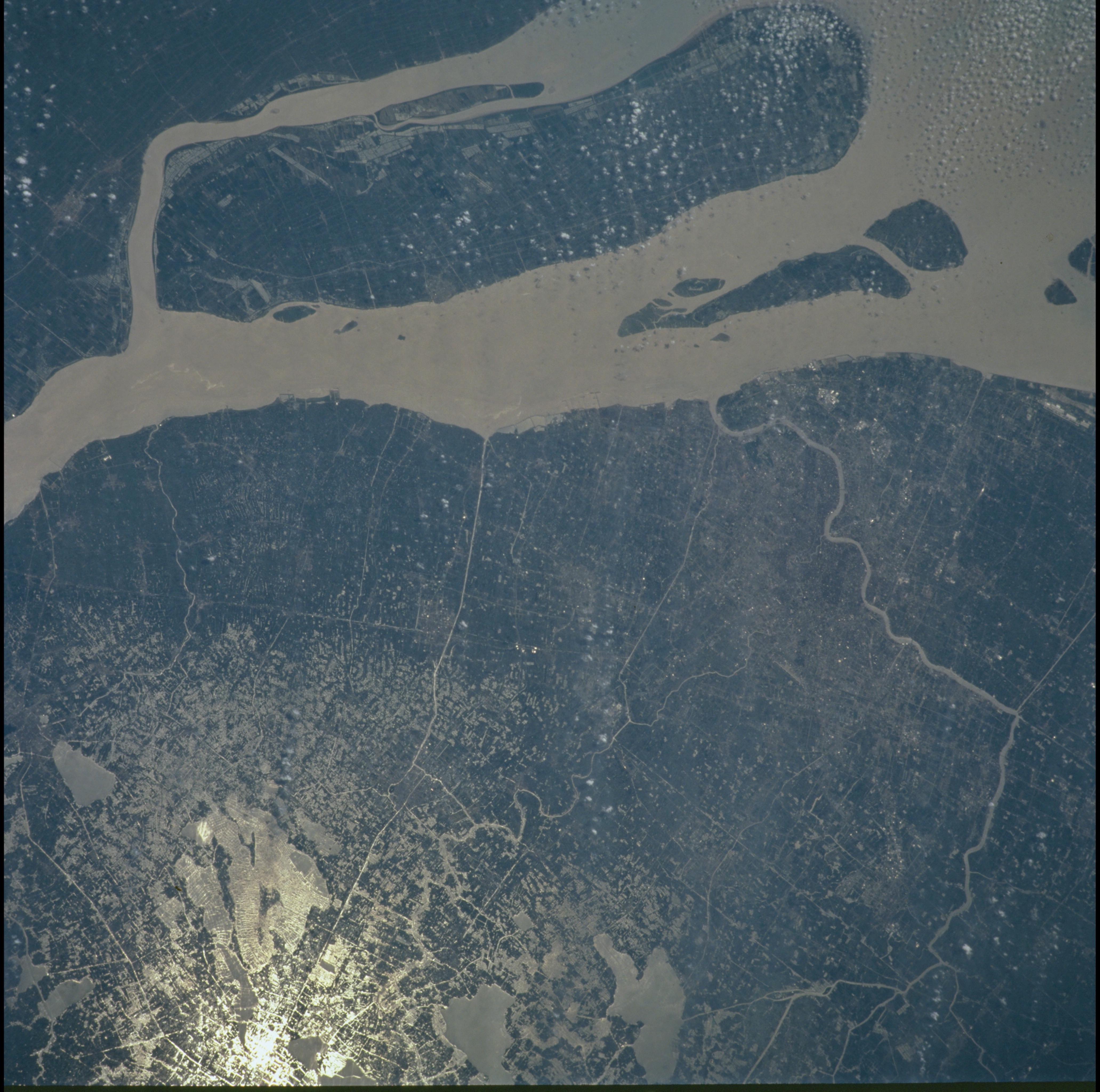
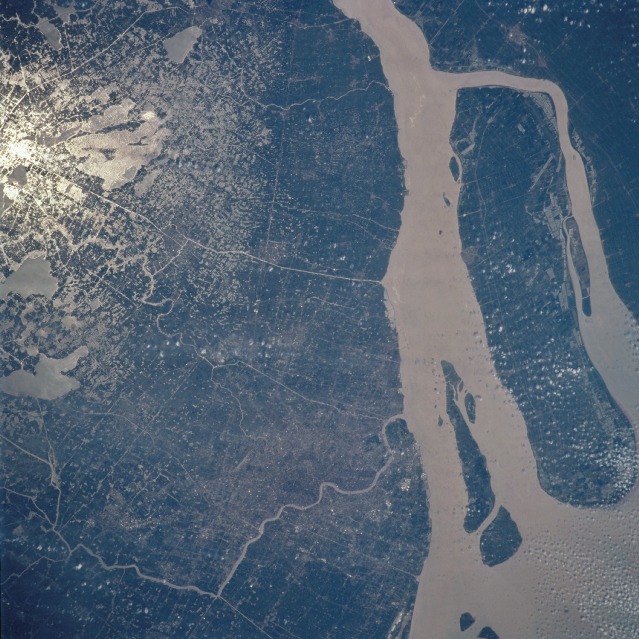
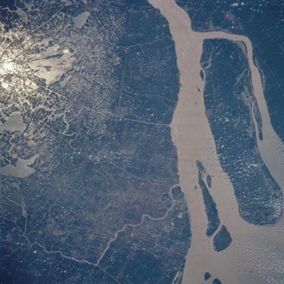
Image Caption: Shanghai, Yangtze River Mouth, China
Shanghai (grayish area near the bottom center of the image) and the mouth of the Yangtze (Chang) River (right side of the image) are visible in this near-vertical view. North is towards the upper right of the scene. The silt-laden Yangtze is the longest river Asia. The larger island of Chongming and the two smaller islands of Changxing and Heng are discernible along the right center and bottom right of the image. Shanghai is the largest city in China (population over 12.5 million) and the most populous city in Asia. The major part of the city sits on the west bank of the Huangpu River, which flows northward into the Yangtze River. Numerous small lakes and flooded rice fields can be seen in sun glint in the upper left of the image.
Shanghai (grayish area near the bottom center of the image) and the mouth of the Yangtze (Chang) River (right side of the image) are visible in this near-vertical view. North is towards the upper right of the scene. The silt-laden Yangtze is the longest river Asia. The larger island of Chongming and the two smaller islands of Changxing and Heng are discernible along the right center and bottom right of the image. Shanghai is the largest city in China (population over 12.5 million) and the most populous city in Asia. The major part of the city sits on the west bank of the Huangpu River, which flows northward into the Yangtze River. Numerous small lakes and flooded rice fields can be seen in sun glint in the upper left of the image.
