STS102-338-31
| NASA Photo ID | STS102-338-31 |
| Focal Length | mm |
| Date taken | 2001.03.16 |
| Time taken | 01:46:56 GMT |
Resolutions offered for this image:
640 x 426 pixels
640 x 426 pixels
Cloud masks available for this image:
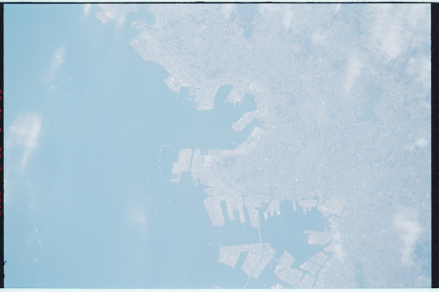
Spacecraft nadir point: 34.9° N, 144.3° E
Photo center point: 35.5° N, 139.5° E
Photo center point by machine learning:
Photo center point: 35.5° N, 139.5° E
Photo center point by machine learning:
Nadir to Photo Center: West
Spacecraft Altitude: 200 nautical miles (370km)
Camera: | Nikon 35mm film camera |
Focal Length: | mm |
Camera Tilt: | High Oblique |
Format: | 5755: Portra 160NC, color negative, 35mm, ASA 160 |
Film Exposure: | |
| Additional Information | |
| Width | Height | Annotated | Cropped | Purpose | Links |
|---|---|---|---|---|---|
| 640 pixels | 426 pixels | No | No | Download Image |
Download Packaged File
Download a Google Earth KML for this Image
View photo footprint information
Download a GeoTIFF for this photo
Image Caption: none
