STS100-E-5455
| NASA Photo ID | STS100-E-5455 |
| Focal Length | 400mm |
| Date taken | 2001.04.26 |
| Time taken | 08:32:01 GMT |
Cloud masks available for this image:
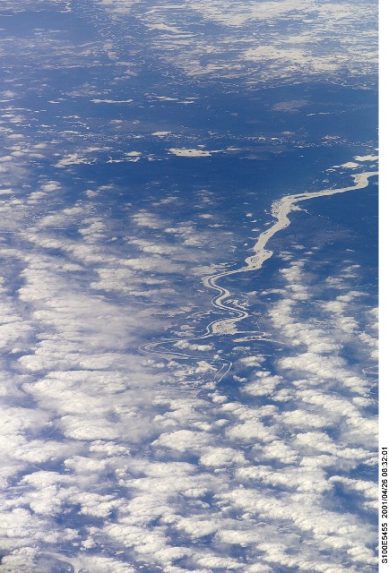
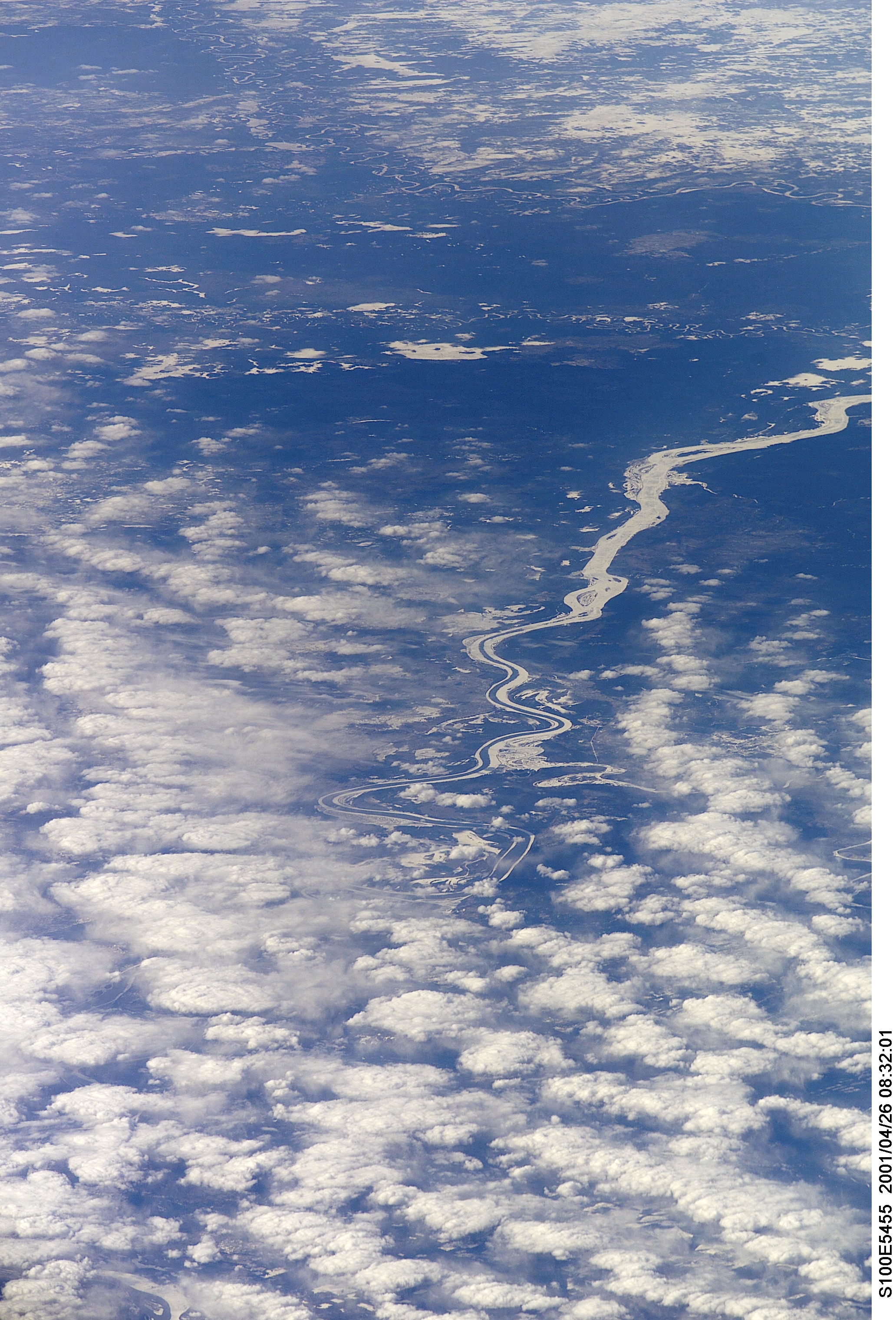
Spacecraft nadir point: 51.6° N, 102.6° E
Photo center point: 60.5° N, 90.0° E
Photo center point by machine learning:
Photo center point: 60.5° N, 90.0° E
Photo center point by machine learning:
Nadir to Photo Center: Northwest
Spacecraft Altitude: 207 nautical miles (383km)
Country or Geographic Name: | RUSSIAN FEDERATION |
Features: | YENISEY RIVER, HAZE |
| Features Found Using Machine Learning: | |
Cloud Cover Percentage: | 100 (76-100)% |
Sun Elevation Angle: | 34° |
Sun Azimuth: | 246° |
Camera: | Kodak DCS660 Electronic Still Camera |
Focal Length: | 400mm |
Camera Tilt: | High Oblique |
Format: | 3060E: 3060 x 2036 pixel CCD, RGBG array |
Film Exposure: | |
| Additional Information | |
| Width | Height | Annotated | Cropped | Purpose | Links |
|---|---|---|---|---|---|
| 2064 pixels | 3040 pixels | No | No | Download Image | |
| 434 pixels | 640 pixels | No | No | Download Image |
Download Packaged File
Download a Google Earth KML for this Image
View photo footprint information
Download a GeoTIFF for this photo
Image Caption: none
