STS100-349-9
| NASA Photo ID | STS100-349-9 |
| Focal Length | mm |
| Date taken | 2001.04.__ |
| Time taken | GMT |
Resolutions offered for this image:
540 x 708 pixels 2968 x 1980 pixels 3070 x 2044 pixels 515 x 342 pixels 400 x 524 pixels
540 x 708 pixels 2968 x 1980 pixels 3070 x 2044 pixels 515 x 342 pixels 400 x 524 pixels


Cloud masks available for this image:
Spacecraft nadir point:
Photo center point: 39.5° N, 106.5° W
Photo center point by machine learning:
Photo center point: 39.5° N, 106.5° W
Photo center point by machine learning:
Nadir to Photo Center:
Spacecraft Altitude: nautical miles (0km)
Country or Geographic Name: | USA-COLORADO |
Features: | ROCKY MTS., SKI SLOPES, VAIL |
| Features Found Using Machine Learning: | |
Cloud Cover Percentage: | 10 (1-10)% |
Sun Elevation Angle: | ° |
Sun Azimuth: | ° |
Camera: | Nikon 35mm film camera |
Focal Length: | mm |
Camera Tilt: | Low Oblique |
Format: | |
Film Exposure: | |
| Additional Information | |
| Width | Height | Annotated | Cropped | Purpose | Links |
|---|---|---|---|---|---|
| 540 pixels | 708 pixels | Yes | Yes | Earth From Space collection | Download Image |
| 2968 pixels | 1980 pixels | No | Yes | NASA's Earth Observatory web site | Download Image |
| 3070 pixels | 2044 pixels | No | No | Download Image | |
| 515 pixels | 342 pixels | No | No | Download Image | |
| 400 pixels | 524 pixels | Yes | Yes | Photographic Highlights | Download Image |
Download Packaged File
Download a Google Earth KML for this Image
View photo footprint information
Download a GeoTIFF for this photo
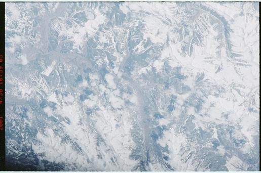
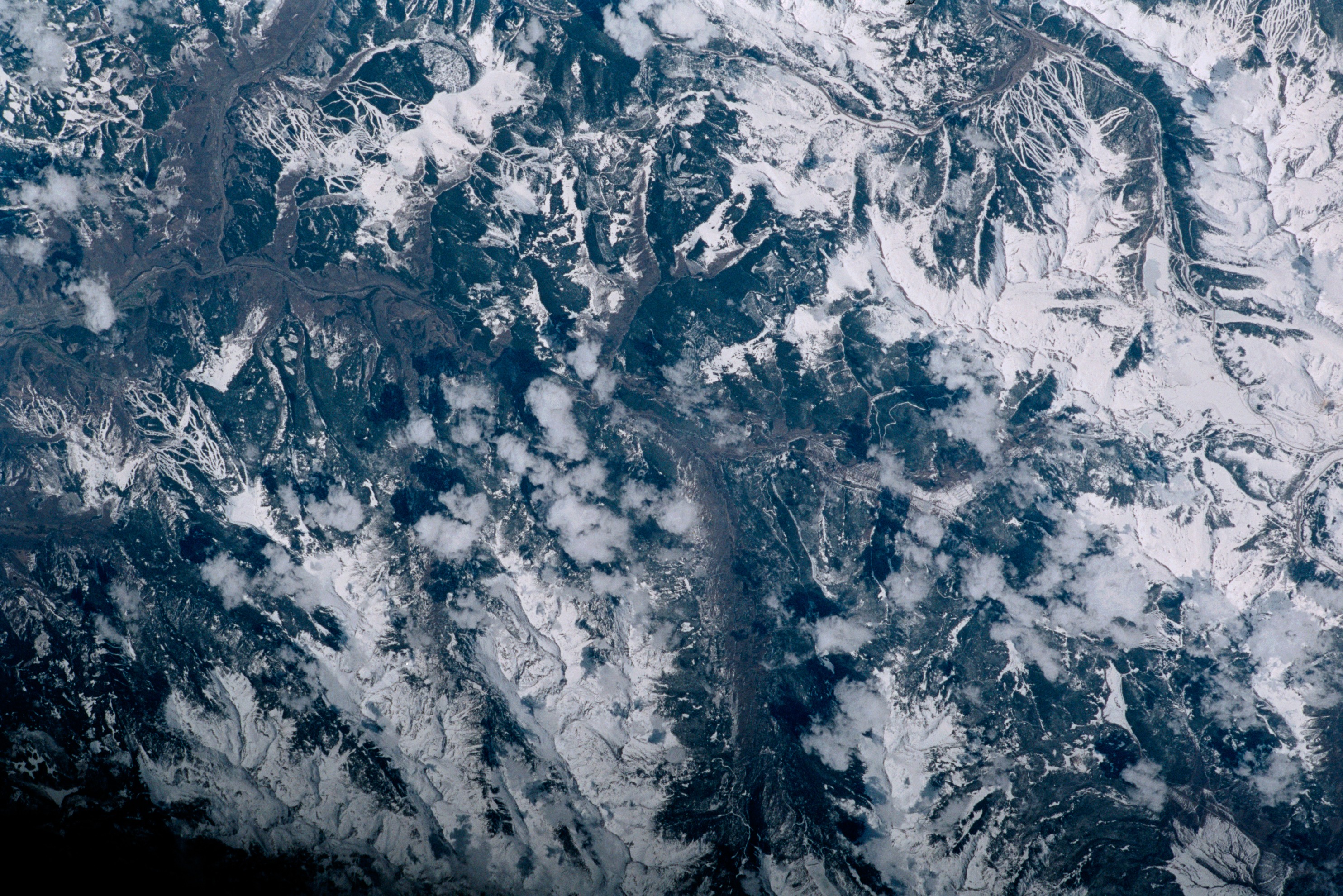
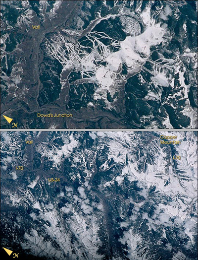
Image Caption: The snow-covered ski runs of Vail, Colorado, look like white ribbons in contrast to the dark green forests of the Rocky Mountains. This detailed image is part of a larger view of area ski resorts photographed by the STS-100 Space Shuttle crew in April 2001.
In the complete image, much of I-70 and U.S. Highway 24 can be distinguished. The numerous ski runs of Vail are in the upper left of the photo and Copper Mountain Resort is in the upper right.
In the complete image, much of I-70 and U.S. Highway 24 can be distinguished. The numerous ski runs of Vail are in the upper left of the photo and Copper Mountain Resort is in the upper right.
