STS099-708-AV

| NASA Photo ID | STS099-708-AV |
| Focal Length | 250mm |
| Date taken | 2000.02.__ |
| Time taken | GMT |
Resolutions offered for this image:
1031 x 1024 pixels 2063 x 2048 pixels 4127 x 4096 pixels 515 x 512 pixels 1309 x 1299 pixels 400 x 397 pixels
1031 x 1024 pixels 2063 x 2048 pixels 4127 x 4096 pixels 515 x 512 pixels 1309 x 1299 pixels 400 x 397 pixels


Cloud masks available for this image:
Spacecraft nadir point:
Photo center point: 56.0° N, 159.5° W
Photo center point by machine learning:
Photo center point: 56.0° N, 159.5° W
Photo center point by machine learning:
Nadir to Photo Center:
Spacecraft Altitude: nautical miles (0km)
Country or Geographic Name: | USA-ALASKA |
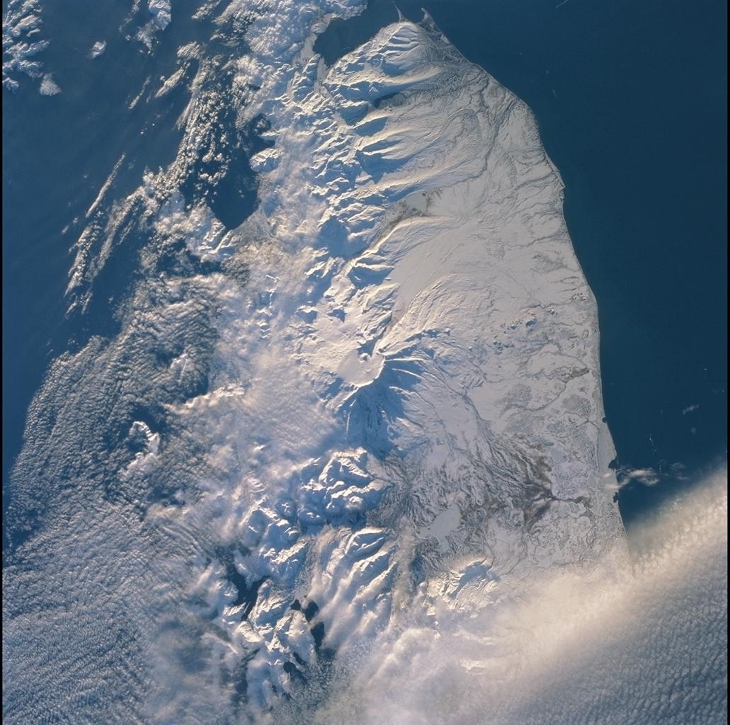
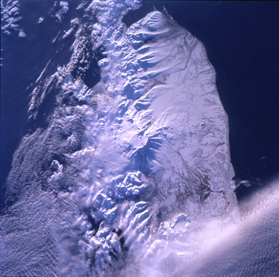
Features: | MOUNT VENIDMINOF, SNOW |
| Features Found Using Machine Learning: | |
Cloud Cover Percentage: | 25 (11-25)% |
Sun Elevation Angle: | ° |
Sun Azimuth: | ° |
Camera: | Hasselblad |
Focal Length: | 250mm |
Camera Tilt: | |
Format: | 5069: Kodak Elite 100S, E6 Reversal, Replaces Lumiere, Warmer in tone vs. Lumiere |
Film Exposure: | |
| Additional Information | |
| Width | Height | Annotated | Cropped | Purpose | Links |
|---|---|---|---|---|---|
| 1031 pixels | 1024 pixels | No | No | Download Image | |
| 2063 pixels | 2048 pixels | No | No | Download Image | |
| 4127 pixels | 4096 pixels | No | No | Download Image | |
| 515 pixels | 512 pixels | No | No | Download Image | |
| 1309 pixels | 1299 pixels | No | No | Download Image | |
| 400 pixels | 397 pixels | No | No | Download Image |
Download Packaged File
Download a Google Earth KML for this Image
View photo footprint information
Download a GeoTIFF for this photo
Image Caption: Kamchatka Peninsula
Southern Kamchatka Peninsula is at the junction of three tectonic
plates: Eurasian, Pacific, and North American. Off the southeastern
coast of the peninsula lies the deep (>25,000 ft) Kurile trench, where
the Pacific plate is descending beneath Eurasia as the two converge. In
such settings (subduction zones) volcanoes develop on the overriding
plate -- Eurasia in this instance -- producing the craters, lava flows,
and rugged topography seen in this southward view. Shuttle Radar
Topography Mission (SRTM) images provide great topographic detail for
interpreting the photographic data.
