STS098-332-13
| NASA Photo ID | STS098-332-13 |
| Focal Length | mm |
| Date taken | 2001.02.19 |
| Time taken | 23:00:14 GMT |

Cloud masks available for this image:
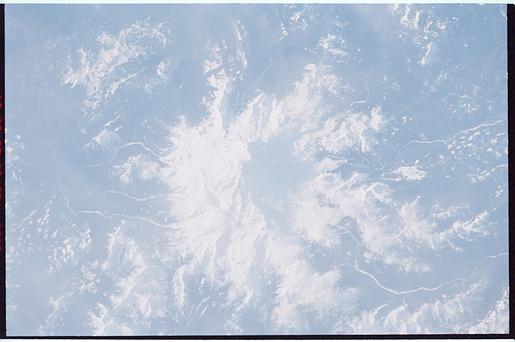
Spacecraft nadir point: 47.5° N, 115.5° W
Photo center point: 47.0° N, 122.0° W
Photo center point by machine learning:
Photo center point: 47.0° N, 122.0° W
Photo center point by machine learning:
Nadir to Photo Center: West
Spacecraft Altitude: 197 nautical miles (365km)
Country or Geographic Name: | USA-WASHINGTON |
Features: | MOUNT RAINIER |
| Features Found Using Machine Learning: | |
Cloud Cover Percentage: | 10 (1-10)% |
Sun Elevation Angle: | 19° |
Sun Azimuth: | 228° |
Camera: | Nikon 35mm film camera |
Focal Length: | mm |
Camera Tilt: | High Oblique |
Format: | 3101: Kodak, natural color negative, Ektar 100-3101, ASA 125, standard base |
Film Exposure: | |
| Additional Information | |
| Width | Height | Annotated | Cropped | Purpose | Links |
|---|---|---|---|---|---|
| 3070 pixels | 2044 pixels | No | No | Download Image | |
| 515 pixels | 342 pixels | No | No | Download Image |
Download Packaged File
Download a Google Earth KML for this Image
View photo footprint information
Download a GeoTIFF for this photo
Image Caption: none
