STS096-705-9

| NASA Photo ID | STS096-705-9 |
| Focal Length | 250mm |
| Date taken | 1999.05.28 |
| Time taken | 00:43:08 GMT |
Resolutions offered for this image:
1031 x 1024 pixels 2063 x 2048 pixels 4127 x 4096 pixels 515 x 512 pixels
1031 x 1024 pixels 2063 x 2048 pixels 4127 x 4096 pixels 515 x 512 pixels


Cloud masks available for this image:
Spacecraft nadir point: 37.7° N, 80.9° E
Photo center point: 35.5° N, 81.0° E
Photo center point by machine learning:
Photo center point: 35.5° N, 81.0° E
Photo center point by machine learning:
Nadir to Photo Center: South
Spacecraft Altitude: 200 nautical miles (370km)
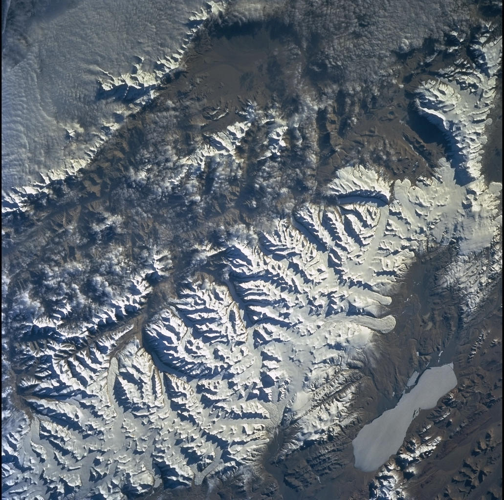
Country or Geographic Name: | CHINA |
Features: | KUNLUN MTS., GOZHA LAKE |
| Features Found Using Machine Learning: | |
Cloud Cover Percentage: | 15 (11-25)% |
Sun Elevation Angle: | 15° |
Sun Azimuth: | 74° |
Camera: | Hasselblad |
Focal Length: | 250mm |
Camera Tilt: | 33 degrees |
Format: | 5069: Kodak Elite 100S, E6 Reversal, Replaces Lumiere, Warmer in tone vs. Lumiere |
Film Exposure: | Under Exposed |
| Additional Information | |
| Width | Height | Annotated | Cropped | Purpose | Links |
|---|---|---|---|---|---|
| 1031 pixels | 1024 pixels | No | No | Download Image | |
| 2063 pixels | 2048 pixels | No | No | Download Image | |
| 4127 pixels | 4096 pixels | No | No | Download Image | |
| 515 pixels | 512 pixels | No | No | Download Image |
Download Packaged File
Download a Google Earth KML for this Image
View photo footprint information
Download a GeoTIFF for this photo
Image Caption: Cape Sinop is the prominent cape. Spring meltwater entering the Black
Sea during the STS-96 mission probably explains the rich sediment load
(light blue) visible offshore. Sediment from the Kizil Irmak River
(just outside the view to the east) makes an eddy in the coastal
current visible. The ancient and modern city of Sinope lies at the
narrow point of the prominent peninsula. Tourist hotels abound along
the scenic north coast of Turkey. The cynic phoilosopher Diogenes was
born in Sinope about 320 BC.
