STS095-716-46
| NASA Photo ID | STS095-716-46 |
| Focal Length | 250mm |
| Date taken | 1998.11.02 |
| Time taken | 18:58:33 GMT |
Resolutions offered for this image:
4030 x 4030 pixels 639 x 639 pixels 1283 x 1276 pixels 5133 x 5101 pixels 645 x 640 pixels 645 x 640 pixels
4030 x 4030 pixels 639 x 639 pixels 1283 x 1276 pixels 5133 x 5101 pixels 645 x 640 pixels 645 x 640 pixels


Cloud masks available for this image:
Spacecraft nadir point: 28.6° N, 100.7° W
Photo center point: 30.5° N, 97.5° W
Photo center point by machine learning:
Photo center point: 30.5° N, 97.5° W
Photo center point by machine learning:
Nadir to Photo Center: Northeast
Spacecraft Altitude: 293 nautical miles (543km)
Country or Geographic Name: | USA-TEXAS |
Features: | AUSTIN |
| Features Found Using Machine Learning: | |
Cloud Cover Percentage: | 0 (no clouds present) |
Sun Elevation Angle: | 46° |
Sun Azimuth: | 191° |
Camera: | Hasselblad |
Focal Length: | 250mm |
Camera Tilt: | 37 degrees |
Format: | 5069: Kodak Elite 100S, E6 Reversal, Replaces Lumiere, Warmer in tone vs. Lumiere |
Film Exposure: | Normal |
| Additional Information | |
| Width | Height | Annotated | Cropped | Purpose | Links |
|---|---|---|---|---|---|
| 4030 pixels | 4030 pixels | No | No | Earth From Space collection | Download Image |
| 639 pixels | 639 pixels | No | No | Earth From Space collection | Download Image |
| 1283 pixels | 1276 pixels | Download Image | |||
| 5133 pixels | 5101 pixels | Download Image | |||
| 645 pixels | 640 pixels | Earth From Space phase 2 | Download Image | ||
| 645 pixels | 640 pixels | No | No | Download Image |
Download Packaged File
Download a Google Earth KML for this Image
View photo footprint information
Download a GeoTIFF for this photo
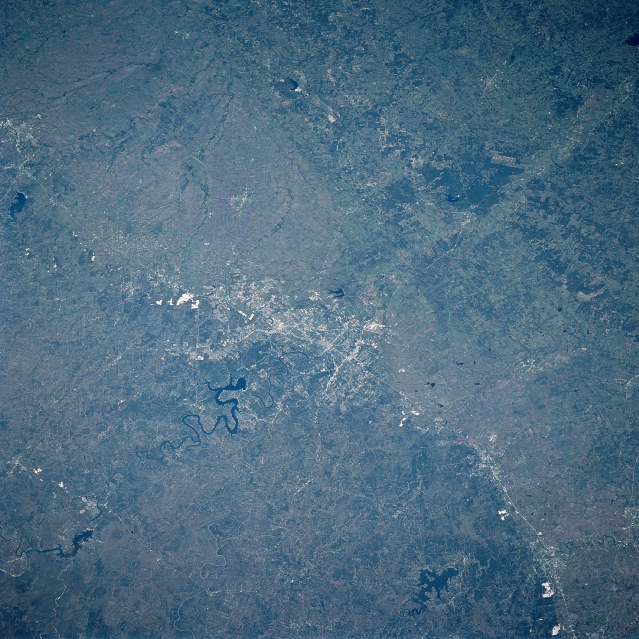
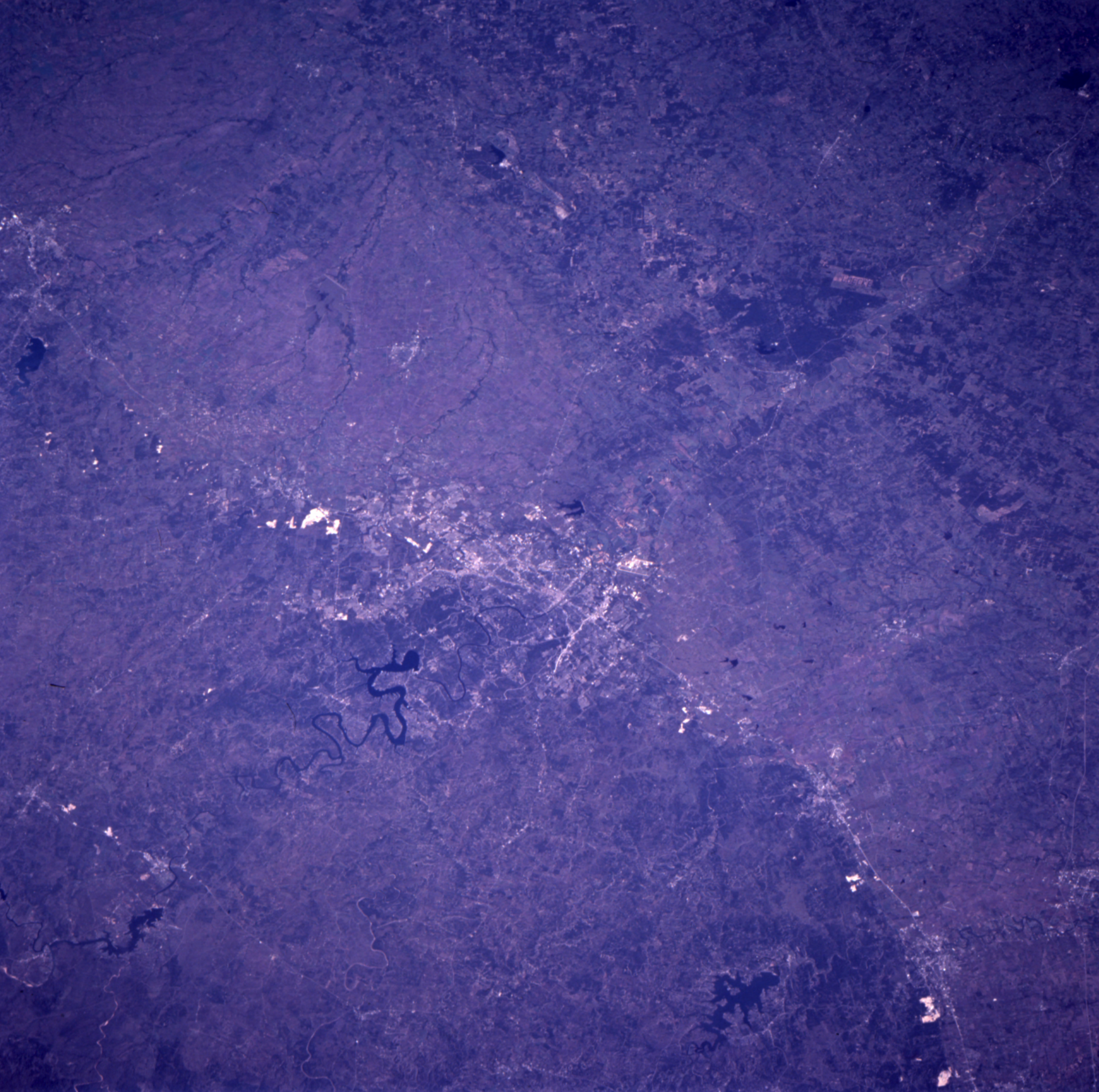
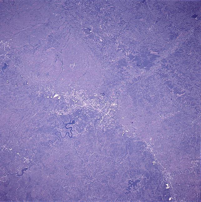
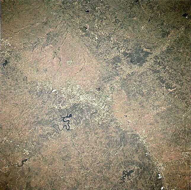
Image Caption: STS095-716-46 Balcones Escarpment, Austin, Texas November 1998
The Balcones Escarpment can be seen extending from near Temple (upper left) through Austin (center of the image) and to just south of New Braunfels (bottom right). The Balcones Escarpment forms a distinct boundary between the topographically higher Edwards Plateau (dark, left side of the image) and the Gulf Coastal Plain (right). The escarpment, formed by faulting and erosion, extends from the Rio Grande near Del Rio eastward to San Antonio, northeastward to Austin, and finally northward toward the Red River. The terrain west and north of the escarpment is generally rounded with wooded hills and numerous small river valleys. The escarpment is highest near Del Rio (1000 feet, 300 meters). Austin, the capitol of Texas, is located on the intersection of the Balcones Escarpment and the Colorado River. Interstate Highway 35 parallels a section of the Balcones Escarpment from San Antonio to Temple. Lake Travis visible to the west-northwest of Austin. Canyon Lake can be seen to the right bottom center of the image.
In the upper right corner, the letters "LOECKE" can be identified. The letters are 3100 ft high and were formed by clearing forest to spell the name of the landowner during the summer of 1997. The remaining adjacent forest is Buescher State Park.
