STS092-713-32

| NASA Photo ID | STS092-713-32 |
| Focal Length | 250mm |
| Date taken | 2000.10.21 |
| Time taken | 20:42:37 GMT |
Resolutions offered for this image:
540 x 540 pixels 2591 x 2583 pixels 1035 x 1024 pixels 2071 x 2048 pixels 4143 x 4096 pixels 517 x 512 pixels 2591 x 2583 pixels 400 x 399 pixels
540 x 540 pixels 2591 x 2583 pixels 1035 x 1024 pixels 2071 x 2048 pixels 4143 x 4096 pixels 517 x 512 pixels 2591 x 2583 pixels 400 x 399 pixels


Cloud masks available for this image:
Spacecraft nadir point: 48.1° N, 64.6° W
Photo center point: 43.5° N, 77.0° W
Photo center point by machine learning:
Photo center point: 43.5° N, 77.0° W
Photo center point by machine learning:
Nadir to Photo Center: West
Spacecraft Altitude: 202 nautical miles (374km)
Country or Geographic Name: | USA-NEW YORK |
Features: | PAN-LAKE ONTARIO, SMOG, SUNGLINT |
| Features Found Using Machine Learning: | |
Cloud Cover Percentage: | 50 (26-50)% |
Sun Elevation Angle: | 5° |
Sun Azimuth: | 248° |
Camera: | Hasselblad |
Focal Length: | 250mm |
Camera Tilt: | High Oblique |
Format: | 5069: Kodak Elite 100S, E6 Reversal, Replaces Lumiere, Warmer in tone vs. Lumiere |
Film Exposure: | |
| Additional Information | |
| Width | Height | Annotated | Cropped | Purpose | Links |
|---|---|---|---|---|---|
| 540 pixels | 540 pixels | Yes | No | Earth From Space collection | Download Image |
| 2591 pixels | 2583 pixels | No | No | NASA's Earth Observatory web site | Download Image |
| 1035 pixels | 1024 pixels | No | No | Download Image | |
| 2071 pixels | 2048 pixels | No | No | Download Image | |
| 4143 pixels | 4096 pixels | No | No | Download Image | |
| 517 pixels | 512 pixels | No | No | Download Image | |
| 2591 pixels | 2583 pixels | No | No | Download Image | |
| 400 pixels | 399 pixels | No | Photographic Highlights | Download Image |
Download Packaged File
Download a Google Earth KML for this Image
View photo footprint information
Download a GeoTIFF for this photo
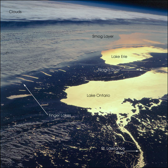
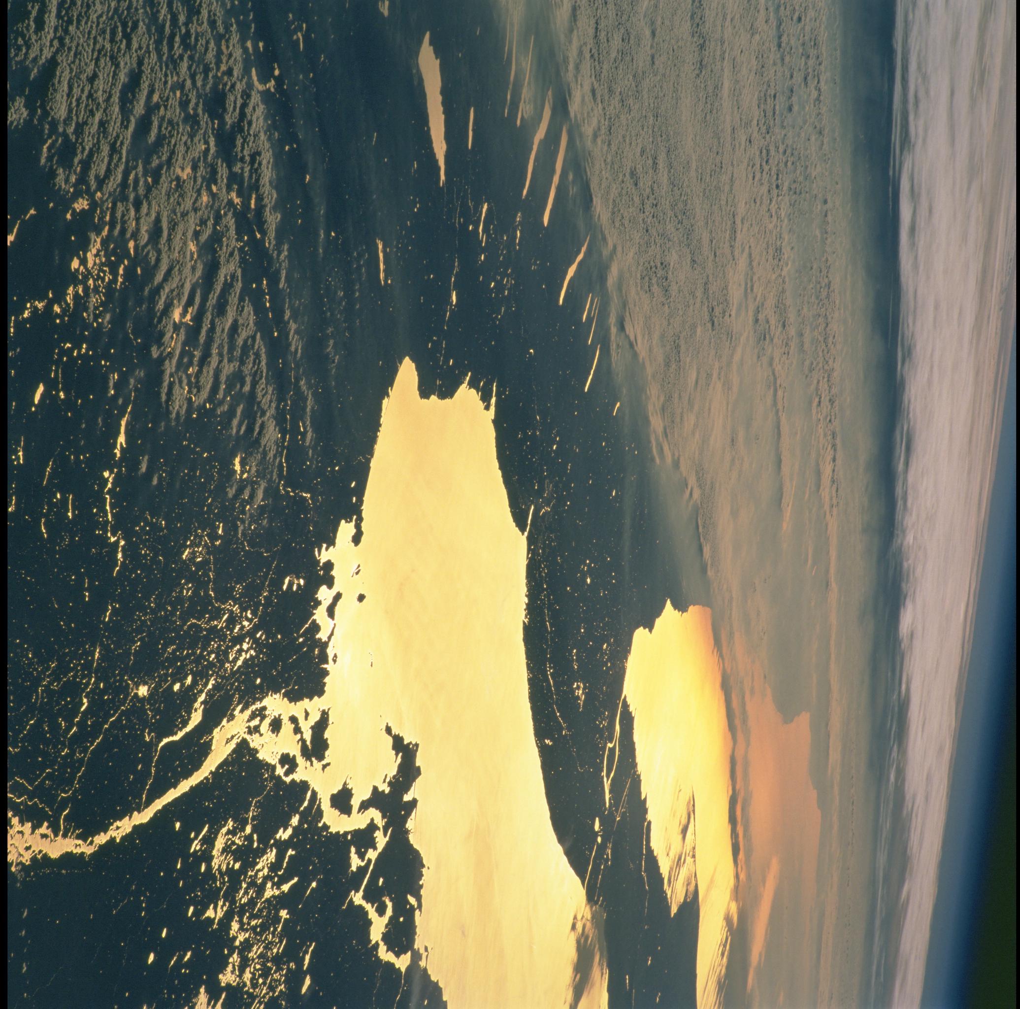
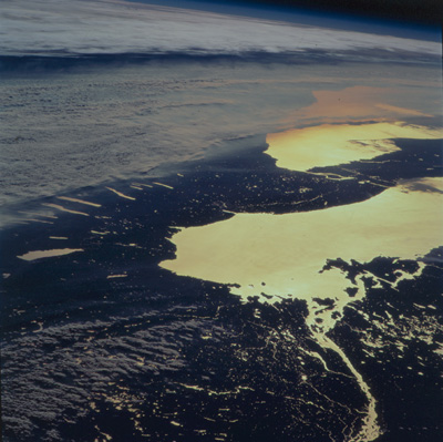
Image Caption: The STS-92 Space Shuttle astronauts photographed upstate New York at sunset on October 21, 2000. Water bodies (Lake Ontario, Lake Erie, the Finger Lakes, the St. Lawrence and Niagara Rivers) are highlighted by sunglint (sun reflecting off the water surface), making for a dramatic and unusual regional view.
The photograph was taken looking toward the southwest from southern Canada, and captures a regional smog layer extending across central New York, western Lake Erie and Ohio, and further west. The layer of atmospheric pollution layer is capped by an atmospheric inversion, which is marked by the layer of clouds at the top of the photograph. The astronauts were able to document this smog event from a variety of vantage points as they orbited over the northeastern U.S. and southern Canada.
The photograph was taken looking toward the southwest from southern Canada, and captures a regional smog layer extending across central New York, western Lake Erie and Ohio, and further west. The layer of atmospheric pollution layer is capped by an atmospheric inversion, which is marked by the layer of clouds at the top of the photograph. The astronauts were able to document this smog event from a variety of vantage points as they orbited over the northeastern U.S. and southern Canada.
