STS091-707-27
| NASA Photo ID | STS091-707-27 |
| Focal Length | 250mm |
| Date taken | 1998.06.07 |
| Time taken | 21:28:19 GMT |
Resolutions offered for this image:
4025 x 4025 pixels 639 x 639 pixels 3505 x 3443 pixels 492 x 500 pixels 477 x 479 pixels
4025 x 4025 pixels 639 x 639 pixels 3505 x 3443 pixels 492 x 500 pixels 477 x 479 pixels

Cloud masks available for this image:
Spacecraft nadir point: 35.2° N, 90.8° W
Photo center point: 36.0° N, 91.0° W
Photo center point by machine learning:
Photo center point: 36.0° N, 91.0° W
Photo center point by machine learning:
Nadir to Photo Center: North
Spacecraft Altitude: 197 nautical miles (365km)
Country or Geographic Name: | USA-ARKANSAS |
Features: | MISSISSIPPI RIVER, AGR. |
| Features Found Using Machine Learning: | |
Cloud Cover Percentage: | 5 (1-10)% |
Sun Elevation Angle: | 44° |
Sun Azimuth: | 269° |
Camera: | Hasselblad |
Focal Length: | 250mm |
Camera Tilt: | 14 degrees |
Format: | 5069: Kodak Elite 100S, E6 Reversal, Replaces Lumiere, Warmer in tone vs. Lumiere |
Film Exposure: | Normal |
| Additional Information | |
| Width | Height | Annotated | Cropped | Purpose | Links |
|---|---|---|---|---|---|
| 4025 pixels | 4025 pixels | No | No | Earth From Space collection | Download Image |
| 639 pixels | 639 pixels | No | No | Earth From Space collection | Download Image |
| 3505 pixels | 3443 pixels | Download Image | |||
| 492 pixels | 500 pixels | No | No | Download Image | |
| 477 pixels | 479 pixels | Download Image |
Download Packaged File
Download a Google Earth KML for this Image
View photo footprint information
Download a GeoTIFF for this photo
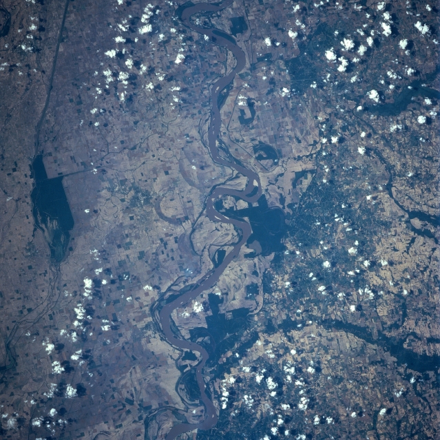
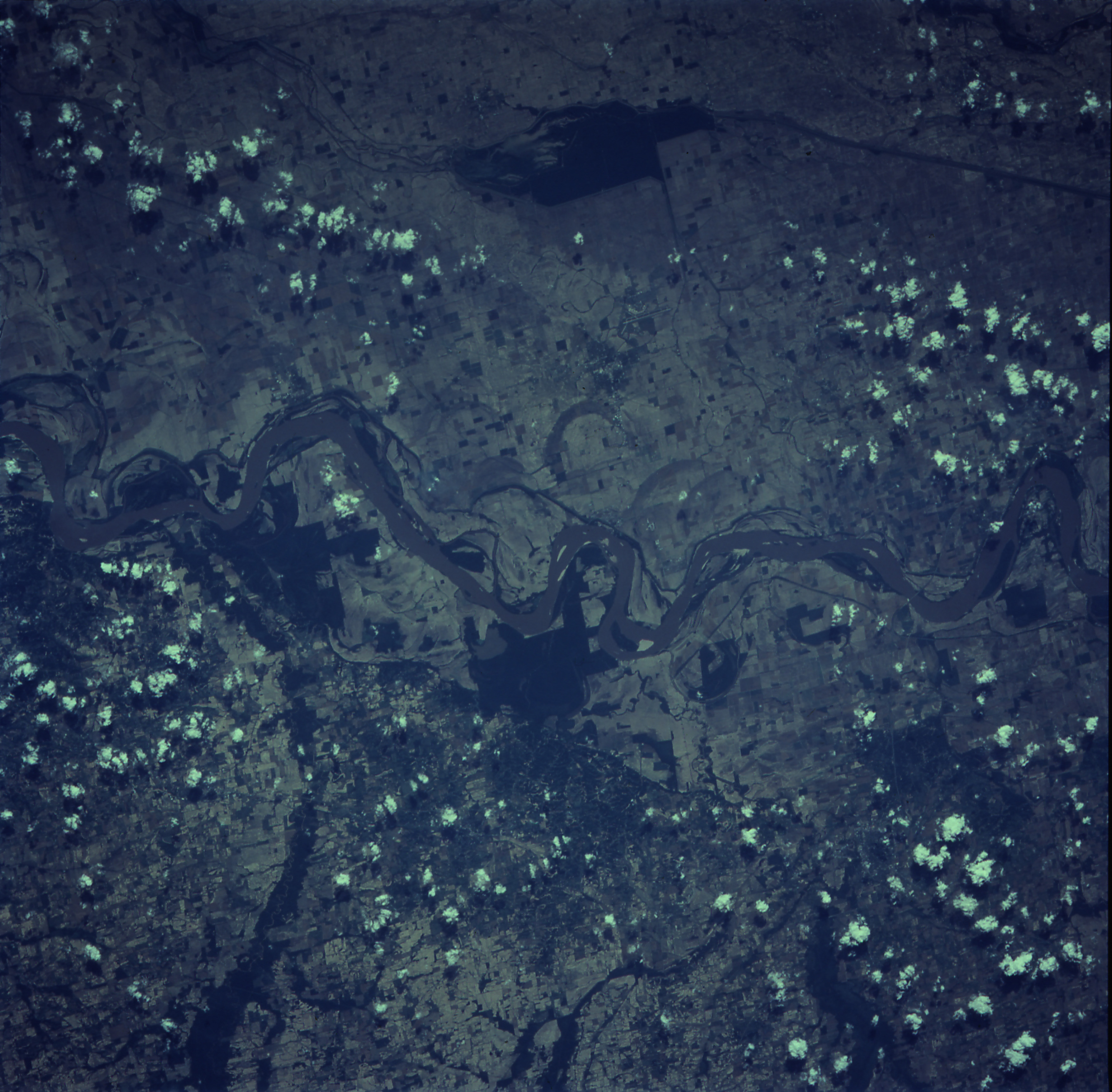
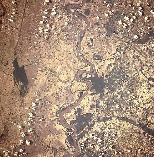
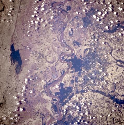
Image Caption: STS091-707-027 Mississippi River, Arkansas June 1998
The Mississippi River can be seen traversing the scene from the upper center (north) to the bottom center (south) in this north-looking view. With the state of Tennessee to the east (right) of the river and the state of Arkansas to the west (left) of the river, this portion of the Mississippi lies to the north of Memphis (not visible on the image). The dark forested area near the left center of the image is the Big Lake National Wildlife Refuge. The small city of Blytheville, Arkansas, barely discernible on the image, is located just to the east (right) of the refuge. The dark forested area on the east bank of the Mississippi River in the state of Tennessee near the center of the image is the Chickasaw National Wildlife Refuge. Both of these refuges are used by migrating birds especially geese, during the spring and fall of the year. The Hatchie River (narrow forested floodplain) can be seen entering the Mississippi River near the bottom center of the image. The forested area just north of the Hatchie River and on the east bank of the Mississippi River is the Lower Natchie National Wildlife Refuge area.
The Mississippi River can be seen traversing the scene from the upper center (north) to the bottom center (south) in this north-looking view. With the state of Tennessee to the east (right) of the river and the state of Arkansas to the west (left) of the river, this portion of the Mississippi lies to the north of Memphis (not visible on the image). The dark forested area near the left center of the image is the Big Lake National Wildlife Refuge. The small city of Blytheville, Arkansas, barely discernible on the image, is located just to the east (right) of the refuge. The dark forested area on the east bank of the Mississippi River in the state of Tennessee near the center of the image is the Chickasaw National Wildlife Refuge. Both of these refuges are used by migrating birds especially geese, during the spring and fall of the year. The Hatchie River (narrow forested floodplain) can be seen entering the Mississippi River near the bottom center of the image. The forested area just north of the Hatchie River and on the east bank of the Mississippi River is the Lower Natchie National Wildlife Refuge area.
