STS090-755-75

| NASA Photo ID | STS090-755-75 |
| Focal Length | 250mm |
| Date taken | 1998.04.19 |
| Time taken | 22:58:32 GMT |
Resolutions offered for this image:
4013 x 4013 pixels 640 x 640 pixels 510 x 479 pixels 479 x 479 pixels
4013 x 4013 pixels 640 x 640 pixels 510 x 479 pixels 479 x 479 pixels
Cloud masks available for this image:
Spacecraft nadir point: 38.8° N, 108.3° W
Photo center point: 36.0° N, 107.0° W
Photo center point by machine learning:
Photo center point: 36.0° N, 107.0° W
Photo center point by machine learning:
Nadir to Photo Center: South
Spacecraft Altitude: 140 nautical miles (259km)
Country or Geographic Name: | USA-NEW MEXICO |
Features: | REDONDO PEAK, RESERVOIRS |
| Features Found Using Machine Learning: | |
Cloud Cover Percentage: | 5 (1-10)% |
Sun Elevation Angle: | 33° |
Sun Azimuth: | 257° |
Camera: | Hasselblad |
Focal Length: | 250mm |
Camera Tilt: | 53 degrees |
Format: | 5069: Kodak Elite 100S, E6 Reversal, Replaces Lumiere, Warmer in tone vs. Lumiere |
Film Exposure: | Normal |
| Additional Information | |
| Width | Height | Annotated | Cropped | Purpose | Links |
|---|---|---|---|---|---|
| 4013 pixels | 4013 pixels | No | No | Earth From Space collection | Download Image |
| 640 pixels | 640 pixels | No | No | Earth From Space collection | Download Image |
| 510 pixels | 479 pixels | No | No | Download Image | |
| 479 pixels | 479 pixels | Download Image |
Download Packaged File
Download a Google Earth KML for this Image
View photo footprint information
Download a GeoTIFF for this photo
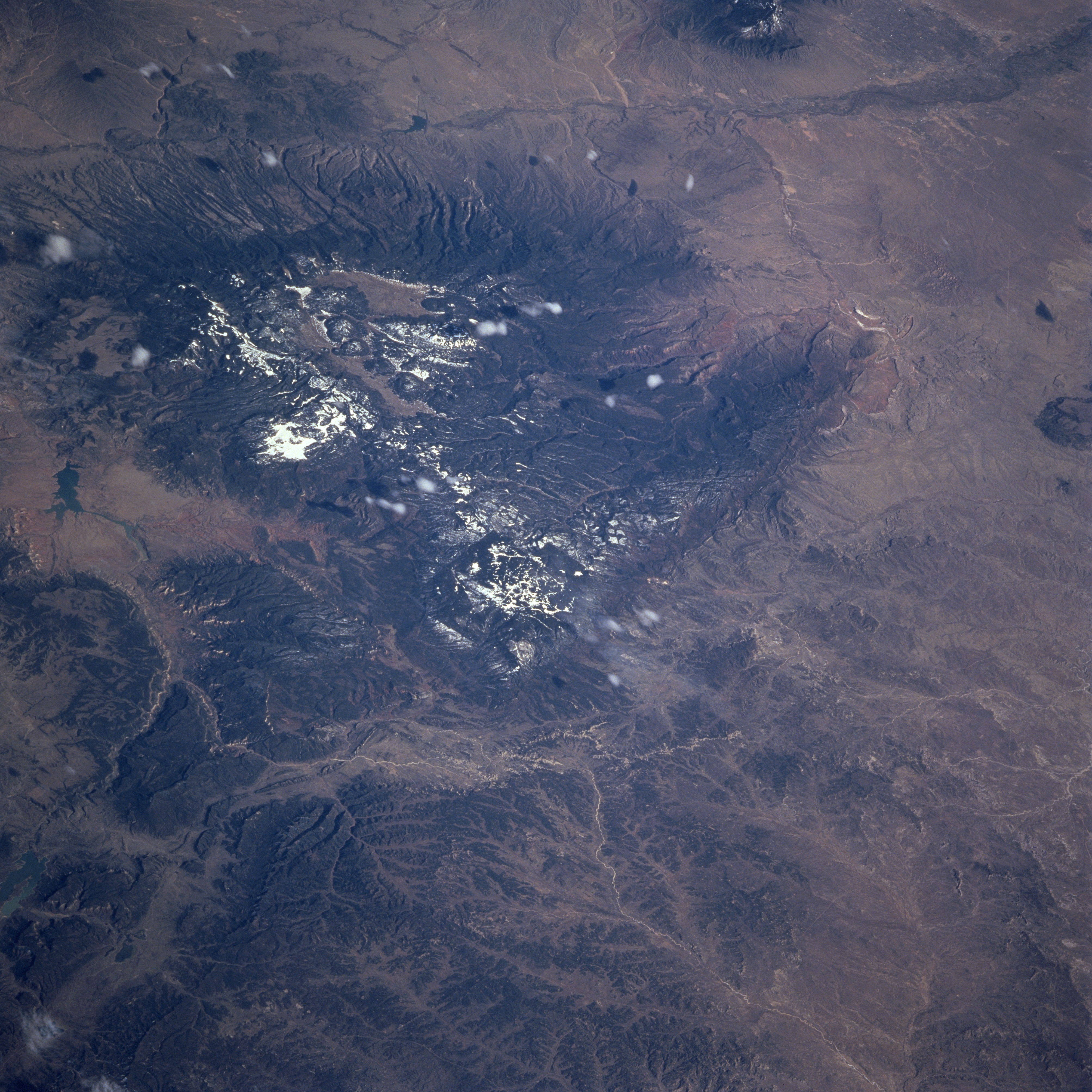
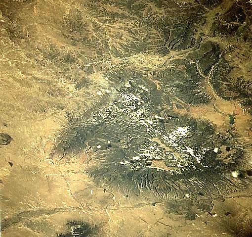
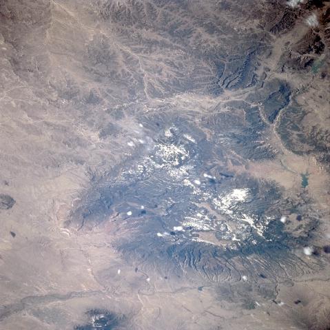
Image Caption: STS090-755-075 Jemez Mountains, New Mexico, USA April 1998
Located in north central New Mexico about 50 miles (80 kilometers) north of Albuquerque is the Jemez Mountains. These mountains are a major volcanic landform and are the result of numerous volcanic eruptions that occurred in relatively recent geologic time (approximately 1 million years ago). Also known as Jemez Cladera and the Valles Caldera, this area is distinctive because of its circlet of lava domes located towards the northern rim. The Rio Chama and Abiquiu Reservoir border the mountains to the north and the Jemez River is visible along the southern flank of the mountains. Both of these rivers flow into the Rio Grande that follows the Rio Grande Rift that is visible in this image as the linear feature that parallels the bottom of the picture (along the east side of the mountains). The Nacimiento Fault is a prominent feature located along the western side of the Nacimiento Mountains (west of Jemez Mountains). A few puffy-looking cumulus clouds are visible. Most of the lighter-colored (highly reflective) areas show snow cover on the higher elevations of the mountains and in many of the shaded valleys.
Located in north central New Mexico about 50 miles (80 kilometers) north of Albuquerque is the Jemez Mountains. These mountains are a major volcanic landform and are the result of numerous volcanic eruptions that occurred in relatively recent geologic time (approximately 1 million years ago). Also known as Jemez Cladera and the Valles Caldera, this area is distinctive because of its circlet of lava domes located towards the northern rim. The Rio Chama and Abiquiu Reservoir border the mountains to the north and the Jemez River is visible along the southern flank of the mountains. Both of these rivers flow into the Rio Grande that follows the Rio Grande Rift that is visible in this image as the linear feature that parallels the bottom of the picture (along the east side of the mountains). The Nacimiento Fault is a prominent feature located along the western side of the Nacimiento Mountains (west of Jemez Mountains). A few puffy-looking cumulus clouds are visible. Most of the lighter-colored (highly reflective) areas show snow cover on the higher elevations of the mountains and in many of the shaded valleys.
