STS090-751-27

| NASA Photo ID | STS090-751-27 |
| Focal Length | 250mm |
| Date taken | 1998.05.02 |
| Time taken | 17:33:22 GMT |
Resolutions offered for this image:
4037 x 4079 pixels 633 x 639 pixels 506 x 500 pixels 479 x 479 pixels
4037 x 4079 pixels 633 x 639 pixels 506 x 500 pixels 479 x 479 pixels

Cloud masks available for this image:
Spacecraft nadir point: 31.2° N, 93.1° W
Photo center point: 30.0° N, 94.0° W
Photo center point by machine learning:
Photo center point: 30.0° N, 94.0° W
Photo center point by machine learning:
Nadir to Photo Center: Southwest
Spacecraft Altitude: 131 nautical miles (243km)
Camera: | Hasselblad |
Focal Length: | 250mm |
Camera Tilt: | 34 degrees |
Format: | 5069: Kodak Elite 100S, E6 Reversal, Replaces Lumiere, Warmer in tone vs. Lumiere |
Film Exposure: | Normal |
| Additional Information | |
| Width | Height | Annotated | Cropped | Purpose | Links |
|---|---|---|---|---|---|
| 4037 pixels | 4079 pixels | No | No | Earth From Space collection | Download Image |
| 633 pixels | 639 pixels | No | No | Earth From Space collection | Download Image |
| 506 pixels | 500 pixels | No | No | Download Image | |
| 479 pixels | 479 pixels | Download Image |
Download Packaged File
Download a Google Earth KML for this Image
View photo footprint information
Download a GeoTIFF for this photo
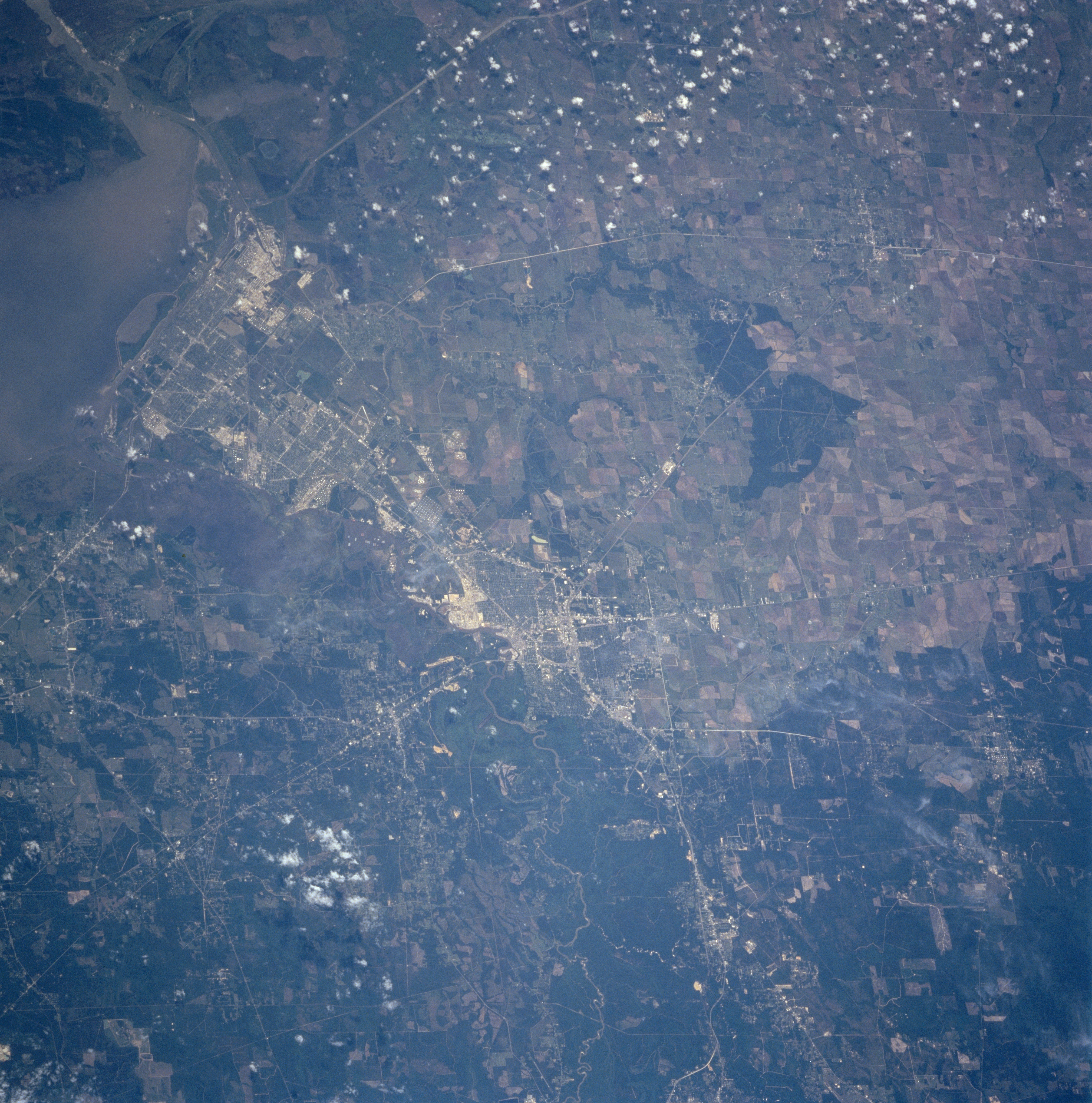
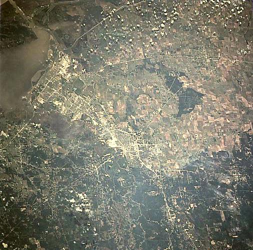
Image Caption: STS090-751-027 Beaumont and Port Arthur, Texas, USA April 1998
An extensive highway network (light colored lines) provides ground linkage between the cities of Beaumont (near the center of the image) and Port Arthur (top left), as well as other urban areas in southeast Texas and southwest Louisiana. Gridded street patterns and a gray color indicate these two industrial cities. A segment of Interstate Highway 10 can be traced diagonally (top right to lower left) crossing the flat, coastal plains and passing through downtown Beaumont. Sabine Lake and Sabine Pass (dark looking water outlet to the Gulf of Mexico) are visible in the southeast corner (upper left) of the picture. The Nueces River and its heavily wooded, broad floodplain is more difficult to identify along the eastern side of the Beaumont and Port Arthur urban areas. The darker looking area north of Beaumont is the southern edge of the well-known Piney Woods of east Texas. This largely undeveloped region contrasts with the angular patterns of the cultivated fields, which are mainly large rice fields, west and southwest of Beaumont. Sugar cane is grown in selected areas closer to the coast. Notice the large stand of trees (darker landscape, lower left corner) that is located midway between the cities of Beaumont and Winnie.
An extensive highway network (light colored lines) provides ground linkage between the cities of Beaumont (near the center of the image) and Port Arthur (top left), as well as other urban areas in southeast Texas and southwest Louisiana. Gridded street patterns and a gray color indicate these two industrial cities. A segment of Interstate Highway 10 can be traced diagonally (top right to lower left) crossing the flat, coastal plains and passing through downtown Beaumont. Sabine Lake and Sabine Pass (dark looking water outlet to the Gulf of Mexico) are visible in the southeast corner (upper left) of the picture. The Nueces River and its heavily wooded, broad floodplain is more difficult to identify along the eastern side of the Beaumont and Port Arthur urban areas. The darker looking area north of Beaumont is the southern edge of the well-known Piney Woods of east Texas. This largely undeveloped region contrasts with the angular patterns of the cultivated fields, which are mainly large rice fields, west and southwest of Beaumont. Sugar cane is grown in selected areas closer to the coast. Notice the large stand of trees (darker landscape, lower left corner) that is located midway between the cities of Beaumont and Winnie.
