STS090-731-66
| NASA Photo ID | STS090-731-66 |
| Focal Length | 250mm |
| Date taken | 1998.05.01 |
| Time taken | 14:28:13 GMT |
Resolutions offered for this image:
4007 x 4096 pixels 626 x 640 pixels 514 x 514 pixels 479 x 479 pixels
4007 x 4096 pixels 626 x 640 pixels 514 x 514 pixels 479 x 479 pixels

Cloud masks available for this image:
Spacecraft nadir point: 38.0° N, 96.8° W
Photo center point: 37.5° N, 97.5° W
Photo center point by machine learning:
Photo center point: 37.5° N, 97.5° W
Photo center point by machine learning:
Nadir to Photo Center: Southwest
Spacecraft Altitude: 133 nautical miles (246km)
Country or Geographic Name: | USA-KANSAS |
Features: | WICHITA |
| Features Found Using Machine Learning: | |
Cloud Cover Percentage: | 0 (no clouds present) |
Sun Elevation Angle: | 34° |
Sun Azimuth: | 97° |
Camera: | Hasselblad |
Focal Length: | 250mm |
Camera Tilt: | 21 degrees |
Format: | 5069: Kodak Elite 100S, E6 Reversal, Replaces Lumiere, Warmer in tone vs. Lumiere |
Film Exposure: | Normal |
| Additional Information | |
| Width | Height | Annotated | Cropped | Purpose | Links |
|---|---|---|---|---|---|
| 4007 pixels | 4096 pixels | No | No | Earth From Space collection | Download Image |
| 626 pixels | 640 pixels | No | No | Earth From Space collection | Download Image |
| 514 pixels | 514 pixels | No | No | Download Image | |
| 479 pixels | 479 pixels | Download Image |
Download Packaged File
Download a Google Earth KML for this Image
View photo footprint information
Download a GeoTIFF for this photo
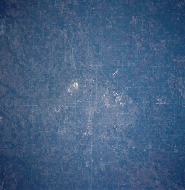
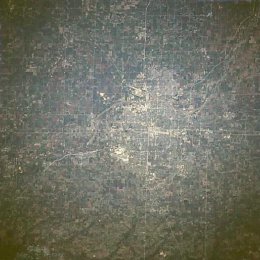
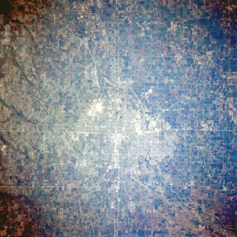
Image Caption: STS090-731-066 Wichita, Kansas April, 1998
Located in south-central Kansas on the eastern Great Plains, the city of Wichita is situated at the confluence of the Arkansas and Little Arkansas Rivers. It is the home of McConnell Air Force Base whose runways are visible just to the bottom and left of the center of the view (southeast of the central city). The runways of the commercial Wichita Mid-Continent Airport are visible to the west (up) from the central city. Wichita is the chief agricultural, commercial, industrial, financial, and cultural center of southern Kansas. The city was founded in 1868 to serve travelers moving westward on the famous Chisholm Trail.
Located in south-central Kansas on the eastern Great Plains, the city of Wichita is situated at the confluence of the Arkansas and Little Arkansas Rivers. It is the home of McConnell Air Force Base whose runways are visible just to the bottom and left of the center of the view (southeast of the central city). The runways of the commercial Wichita Mid-Continent Airport are visible to the west (up) from the central city. Wichita is the chief agricultural, commercial, industrial, financial, and cultural center of southern Kansas. The city was founded in 1868 to serve travelers moving westward on the famous Chisholm Trail.
