STS090-721-72

| NASA Photo ID | STS090-721-72 |
| Focal Length | 100mm |
| Date taken | 1998.04.28 |
| Time taken | 19:24:38 GMT |
Cloud masks available for this image:
Spacecraft nadir point: 33.5° N, 97.0° W
Photo center point: 31.0° N, 98.0° W
Photo center point by machine learning:
Photo center point: 31.0° N, 98.0° W
Photo center point by machine learning:
Nadir to Photo Center: South
Spacecraft Altitude: 132 nautical miles (244km)
Camera: | Hasselblad |
Focal Length: | 100mm |
Camera Tilt: | 51 degrees |
Format: | 5069: Kodak Elite 100S, E6 Reversal, Replaces Lumiere, Warmer in tone vs. Lumiere |
Film Exposure: | Out of Focus |
| Additional Information | |
| Width | Height | Annotated | Cropped | Purpose | Links |
|---|---|---|---|---|---|
| 4096 pixels | 4056 pixels | No | No | Earth From Space collection | Download Image |
| 640 pixels | 633 pixels | No | No | Earth From Space collection | Download Image |
| 516 pixels | 515 pixels | No | No | Download Image |
Download Packaged File
Download a Google Earth KML for this Image
View photo footprint information
Download a GeoTIFF for this photo
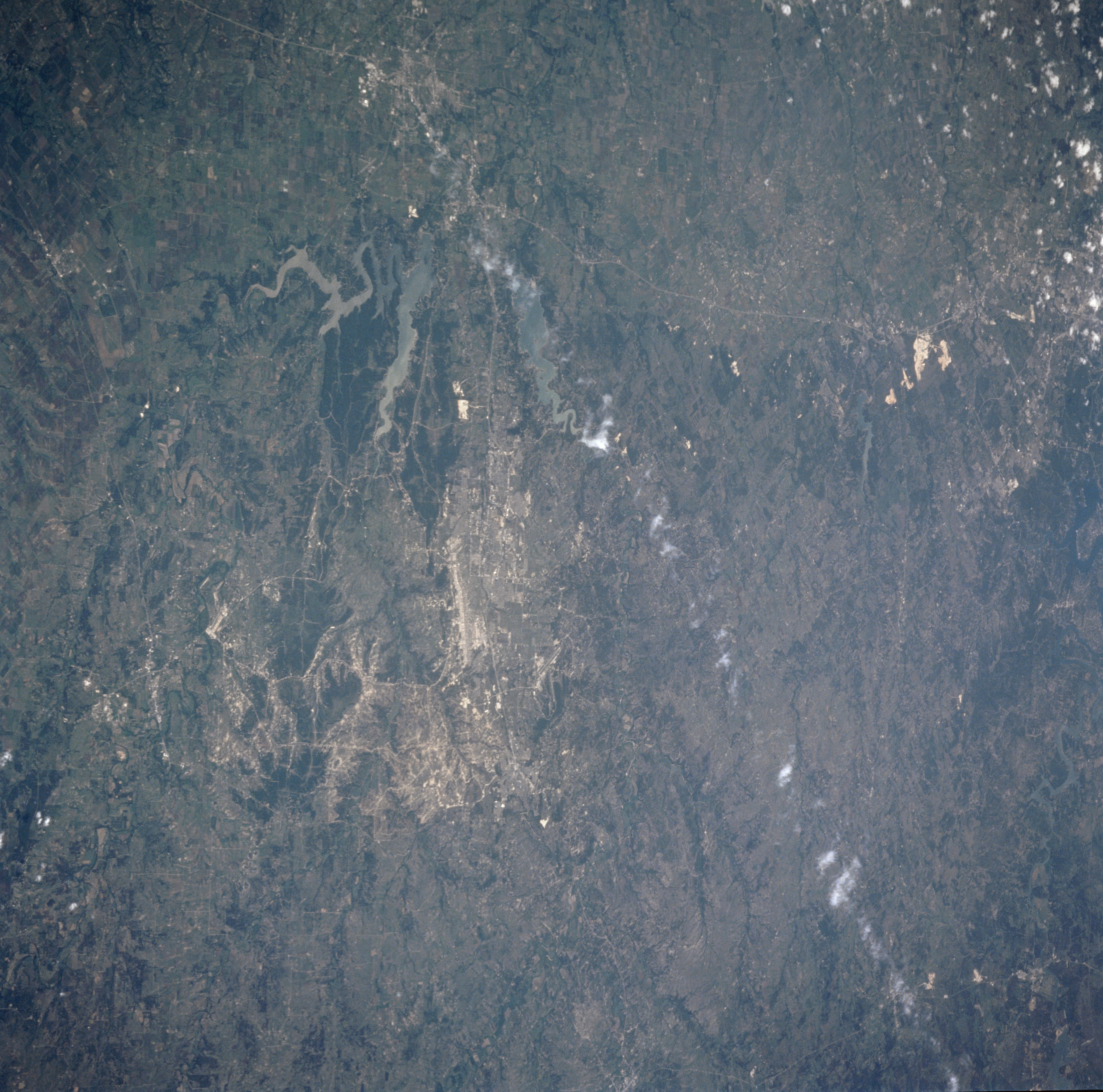
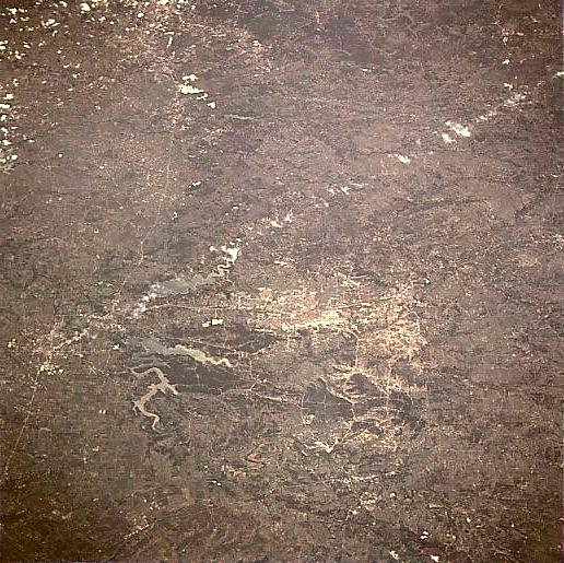
Image Caption: STS090-721-072 Killeen, Fort Hood, Texas April 1998
The Temple/Killeen/Fort Hood area of central Texas can be seen in this south-looking view. Visible just to the right of the center of the image, Killeen is located in a ranching and cotton region just to the south of the Fort Hood Military Reservation. Fort Hood, covering an area of 340 square miles (881 sq. km) is the United States' largest military installation. The military base is host to the largest collection of soldiers and fighting machines in the free world. The United States Army post is the largest single location employer in the state of Texas. To the east of Killeen (near the left center of the image) is the city of Temple. Called the wildflower capital of Texas, Temple, 23 miles (37 km) east of Killeen/Fort Hood is located in a rich agricultural area of central Texas. Interstate Highway 35, a major transportation route between Dallas/Fort Worth and Austin/San Antonio passes through Temple. The highway can be seen entering the view near the bottom left of image (north), passing through the cities of Temple and Belton, and continuing on generally to the south 60 miles (97 km) reaching the northern portions of the city of Austin midway between the upper left and upper center of the image. Two lakes are visible on the image between Temple and Killeen/Fort Hood. The more northern lake just to the west of Temple is Stillhouse Hollow Lake with over 77 miles (124 km) of shoreline. Lake Belton can be seen to the south of Stillhouse Hollow Lake. Both lakes are known for their excellent fishing and recreational facilities.
The Temple/Killeen/Fort Hood area of central Texas can be seen in this south-looking view. Visible just to the right of the center of the image, Killeen is located in a ranching and cotton region just to the south of the Fort Hood Military Reservation. Fort Hood, covering an area of 340 square miles (881 sq. km) is the United States' largest military installation. The military base is host to the largest collection of soldiers and fighting machines in the free world. The United States Army post is the largest single location employer in the state of Texas. To the east of Killeen (near the left center of the image) is the city of Temple. Called the wildflower capital of Texas, Temple, 23 miles (37 km) east of Killeen/Fort Hood is located in a rich agricultural area of central Texas. Interstate Highway 35, a major transportation route between Dallas/Fort Worth and Austin/San Antonio passes through Temple. The highway can be seen entering the view near the bottom left of image (north), passing through the cities of Temple and Belton, and continuing on generally to the south 60 miles (97 km) reaching the northern portions of the city of Austin midway between the upper left and upper center of the image. Two lakes are visible on the image between Temple and Killeen/Fort Hood. The more northern lake just to the west of Temple is Stillhouse Hollow Lake with over 77 miles (124 km) of shoreline. Lake Belton can be seen to the south of Stillhouse Hollow Lake. Both lakes are known for their excellent fishing and recreational facilities.
