STS090-721-40

| NASA Photo ID | STS090-721-40 |
| Focal Length | 250mm |
| Date taken | 1998.04.28 |
| Time taken | 19:19:28 GMT |
Resolutions offered for this image:
3988 x 3983 pixels 639 x 639 pixels 513 x 519 pixels 476 x 480 pixels
3988 x 3983 pixels 639 x 639 pixels 513 x 519 pixels 476 x 480 pixels
Cloud masks available for this image:
Spacecraft nadir point: 38.7° N, 120.7° W
Photo center point: 38.5° N, 121.5° W
Photo center point by machine learning:
Photo center point: 38.5° N, 121.5° W
Photo center point by machine learning:
Nadir to Photo Center: West
Spacecraft Altitude: 131 nautical miles (243km)
Country or Geographic Name: | USA-CALIFORNIA |
Features: | SACRAMENTO, RESERVOIR, AGR |
| Features Found Using Machine Learning: | |
Cloud Cover Percentage: | 0 (no clouds present) |
Sun Elevation Angle: | 64° |
Sun Azimuth: | 157° |
Camera: | Hasselblad |
Focal Length: | 250mm |
Camera Tilt: | 21 degrees |
Format: | 5069: Kodak Elite 100S, E6 Reversal, Replaces Lumiere, Warmer in tone vs. Lumiere |
Film Exposure: | Normal |
| Additional Information | |
| Width | Height | Annotated | Cropped | Purpose | Links |
|---|---|---|---|---|---|
| 3988 pixels | 3983 pixels | No | No | Earth From Space collection | Download Image |
| 639 pixels | 639 pixels | No | No | Earth From Space collection | Download Image |
| 513 pixels | 519 pixels | No | No | Download Image | |
| 476 pixels | 480 pixels | Download Image |
Download Packaged File
Download a Google Earth KML for this Image
View photo footprint information
Download a GeoTIFF for this photo
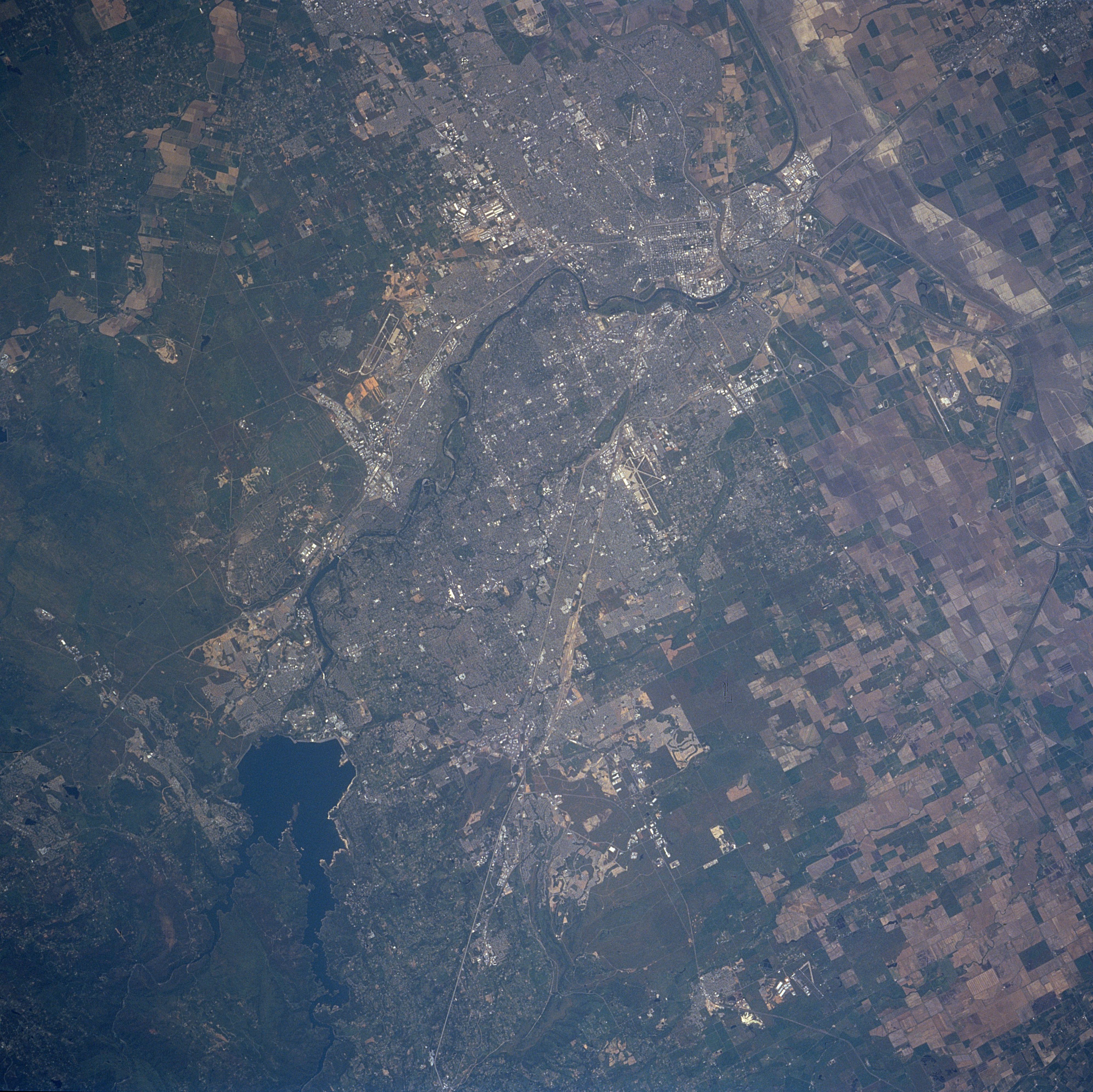
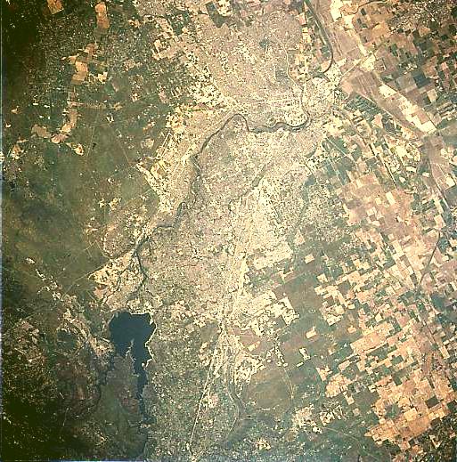
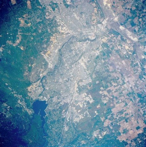
Image Caption: STS90-721-040 Sacramento, California, USA April 1998
Folsom Lake (dark feature at lower left) was created by damming the North Fork and South Fork of the American River northeast of Sacramento, capitol of California. The American River (dark, meandering band) then continues southwestward through the urban landscape (dense concentration of lighter colors), finally joining the Sacramento River near downtown Sacramento. Rice, wheat, corn, and a variety of vegetables are grown on the large cultivated fields north and west of the city. Segments of Interstate Highway 80 (light linear feature west of Folsom Lake) are visible as the highway enters the urban area. Several airport runways, including McClellan Air Force Base (northeast of downtown), Sacramento Metropolitan Airport (northwest), and Cameron Park Airport (east) are also visible. The greenish undeveloped grasslands east of Sacramento are the western foothills of the Sierra Nevada.
Folsom Lake (dark feature at lower left) was created by damming the North Fork and South Fork of the American River northeast of Sacramento, capitol of California. The American River (dark, meandering band) then continues southwestward through the urban landscape (dense concentration of lighter colors), finally joining the Sacramento River near downtown Sacramento. Rice, wheat, corn, and a variety of vegetables are grown on the large cultivated fields north and west of the city. Segments of Interstate Highway 80 (light linear feature west of Folsom Lake) are visible as the highway enters the urban area. Several airport runways, including McClellan Air Force Base (northeast of downtown), Sacramento Metropolitan Airport (northwest), and Cameron Park Airport (east) are also visible. The greenish undeveloped grasslands east of Sacramento are the western foothills of the Sierra Nevada.
