STS087-706-5
| NASA Photo ID | STS087-706-5 |
| Focal Length | 100mm |
| Date taken | 1997.11.21 |
| Time taken | 18:15:05 GMT |
Cloud masks available for this image:
Spacecraft nadir point: 26.3° N, 98.1° W
Photo center point: 26.0° N, 100.0° W
Photo center point by machine learning:
Photo center point: 26.0° N, 100.0° W
Photo center point by machine learning:
Nadir to Photo Center: West
Spacecraft Altitude: 150 nautical miles (278km)
Country or Geographic Name: | MEXICO |
Features: | SIERRA MADRE ORIENTAL |
| Features Found Using Machine Learning: | |
Cloud Cover Percentage: | 25 (11-25)% |
Sun Elevation Angle: | 44° |
Sun Azimuth: | 179° |
Camera: | Hasselblad |
Focal Length: | 100mm |
Camera Tilt: | 38 degrees |
Format: | 5069: Kodak Elite 100S, E6 Reversal, Replaces Lumiere, Warmer in tone vs. Lumiere |
Film Exposure: | Normal |
| Additional Information | |
| Width | Height | Annotated | Cropped | Purpose | Links |
|---|---|---|---|---|---|
| 4072 pixels | 4072 pixels | No | No | Earth From Space collection | Download Image |
| 639 pixels | 639 pixels | No | No | Earth From Space collection | Download Image |
| 501 pixels | 510 pixels | No | No | Download Image |
Download Packaged File
Download a Google Earth KML for this Image
View photo footprint information
Download a GeoTIFF for this photo
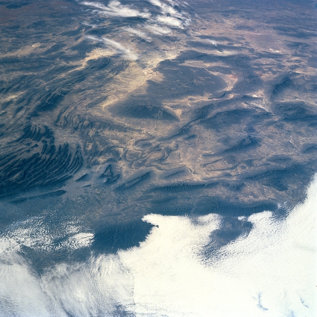
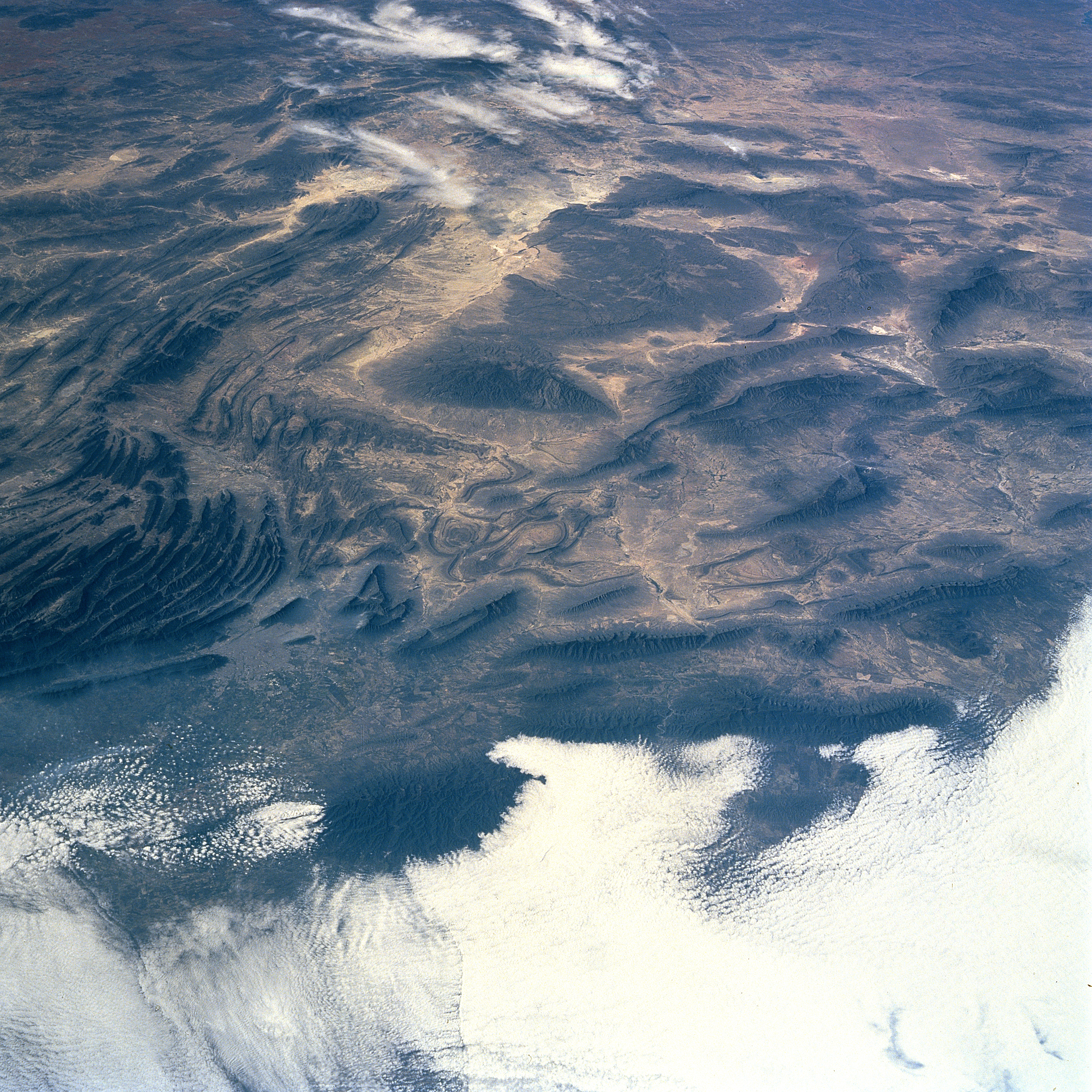
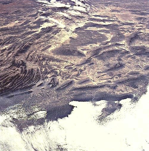
Image Caption: STS087-706-5 Sierra Madre Oriental, Mexico November 1997
The folded, rugged, Sierra Madre Oriental (eastern), a southern extension of the Rocky Mountains of the United States and Canada, can be seen in this west-northwest view. The Sierra Madre Oriental is the boundary of the dissected eastern edge of the High Mexican Central Plateau and the Gulf coastal plain. Beginning as barren hills south of the Rio Grande in northeastern Mexico, the Sierra Madre Oriental extend generally southward approximately 700 miles (1125 km), to near 19 degrees north latitude paralleling the coast of the western Gulf of Mexico. The average elevation of the mountain range is 7000 feet (2135 meters) with some peaks exceeding 10000 feet (3050 meters). A wealth of minerals including iron ore, lead, silver, and gold, are extracted from the mountain range. The city of Monterey, Mexico is discernible just inward toward the center from the left center of the image. Clouds cover the coastal plain in the bottom third of the image.
The folded, rugged, Sierra Madre Oriental (eastern), a southern extension of the Rocky Mountains of the United States and Canada, can be seen in this west-northwest view. The Sierra Madre Oriental is the boundary of the dissected eastern edge of the High Mexican Central Plateau and the Gulf coastal plain. Beginning as barren hills south of the Rio Grande in northeastern Mexico, the Sierra Madre Oriental extend generally southward approximately 700 miles (1125 km), to near 19 degrees north latitude paralleling the coast of the western Gulf of Mexico. The average elevation of the mountain range is 7000 feet (2135 meters) with some peaks exceeding 10000 feet (3050 meters). A wealth of minerals including iron ore, lead, silver, and gold, are extracted from the mountain range. The city of Monterey, Mexico is discernible just inward toward the center from the left center of the image. Clouds cover the coastal plain in the bottom third of the image.
