STS087-703-64

| NASA Photo ID | STS087-703-64 |
| Focal Length | 100mm |
| Date taken | 1997.11.23 |
| Time taken | 09:06:39 GMT |
Cloud masks available for this image:
Spacecraft nadir point: 16.7° N, 6.6° W
Photo center point: 16.5° N, 4.0° W
Photo center point by machine learning:
Photo center point: 16.5° N, 4.0° W
Photo center point by machine learning:
Nadir to Photo Center: East
Spacecraft Altitude: 149 nautical miles (276km)
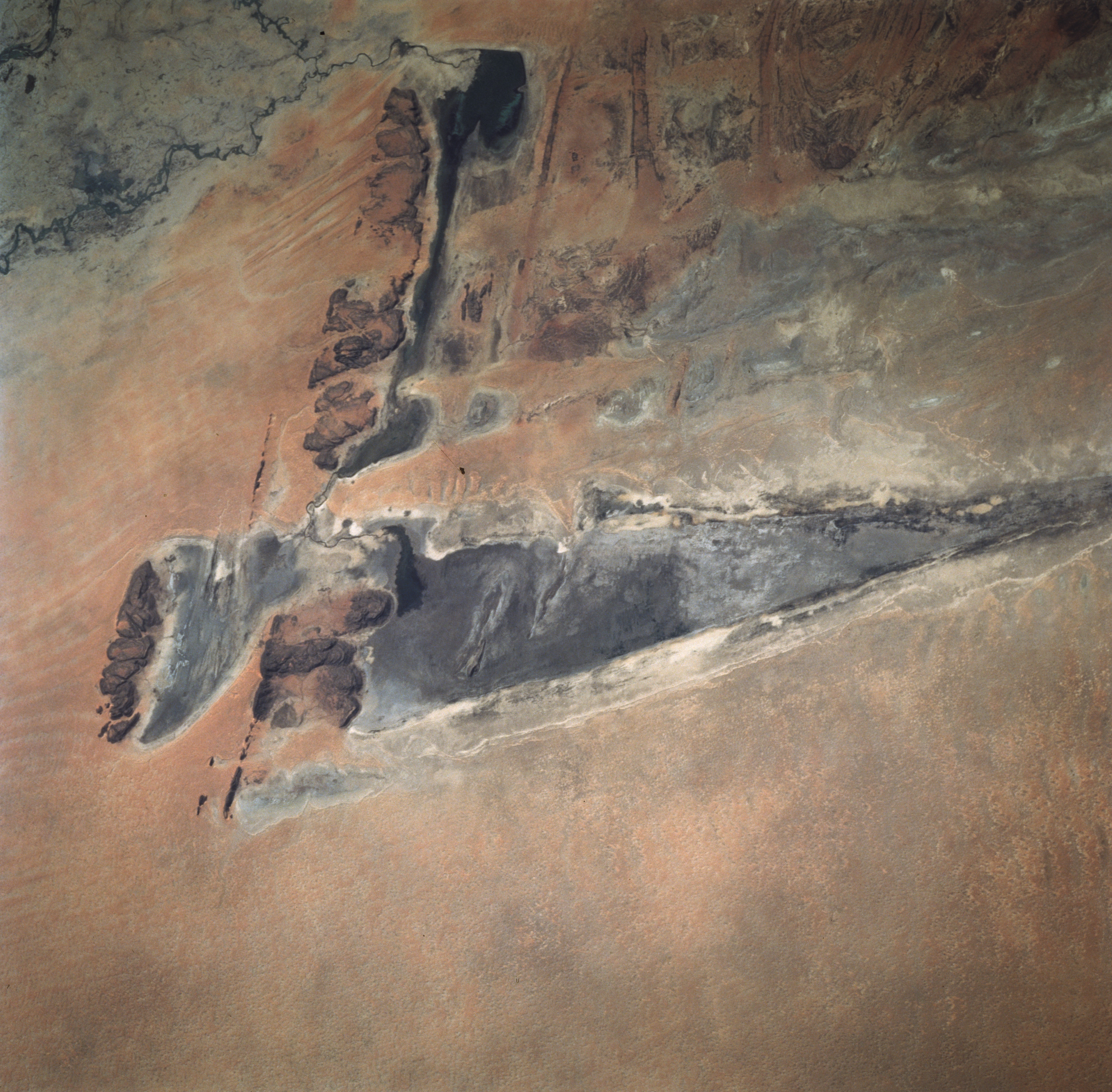
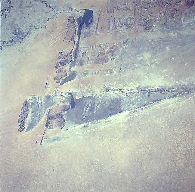
Country or Geographic Name: | MALI |
Features: | LAKE FAGUIBINE |
| Features Found Using Machine Learning: | |
Cloud Cover Percentage: | 0 (no clouds present) |
Sun Elevation Angle: | 31° |
Sun Azimuth: | 127° |
Camera: | Hasselblad |
Focal Length: | 100mm |
Camera Tilt: | 46 degrees |
Format: | 5069: Kodak Elite 100S, E6 Reversal, Replaces Lumiere, Warmer in tone vs. Lumiere |
Film Exposure: | Normal |
| Additional Information | |
| Width | Height | Annotated | Cropped | Purpose | Links |
|---|---|---|---|---|---|
| 6900 pixels | 6776 pixels | No | No | Earth From Space collection | Download Image |
| 640 pixels | 628 pixels | No | No | Earth From Space collection | Download Image |
| 648 pixels | 638 pixels | No | No | Download Image |
Download Packaged File
Download a Google Earth KML for this Image
View photo footprint information
Download a GeoTIFF for this photo
Image Caption: "Best Shot of Lake Faguibine, Mali. Drainage from the Niger river delta stretches southward into the desert lakes. Old shorelines from high stands can be seen. The rock outcrops on the western edge of the lake are particularly well shown in this scene, highlighting structural control of topography.
