STS085-750-7
| NASA Photo ID | STS085-750-7 |
| Focal Length | 250mm |
| Date taken | 1997.08.__ |
| Time taken | GMT |
Resolutions offered for this image:
4043 x 4043 pixels 640 x 640 pixels 5700 x 5900 pixels 483 x 500 pixels
4043 x 4043 pixels 640 x 640 pixels 5700 x 5900 pixels 483 x 500 pixels

Cloud masks available for this image:
Spacecraft nadir point:
Photo center point: 40.5° N, 3.5° W
Photo center point by machine learning:
Photo center point: 40.5° N, 3.5° W
Photo center point by machine learning:
Nadir to Photo Center:
Spacecraft Altitude: nautical miles (0km)
Country or Geographic Name: | SPAIN |
Features: | MADRID |
| Features Found Using Machine Learning: | |
Cloud Cover Percentage: | 0 (no clouds present) |
Sun Elevation Angle: | ° |
Sun Azimuth: | ° |
Camera: | Hasselblad |
Focal Length: | 250mm |
Camera Tilt: | Low Oblique |
Format: | 5069: Kodak Elite 100S, E6 Reversal, Replaces Lumiere, Warmer in tone vs. Lumiere |
Film Exposure: | Normal |
| Additional Information | |
| Width | Height | Annotated | Cropped | Purpose | Links |
|---|---|---|---|---|---|
| 4043 pixels | 4043 pixels | No | No | Earth From Space collection | Download Image |
| 640 pixels | 640 pixels | No | No | Earth From Space collection | Download Image |
| 5700 pixels | 5900 pixels | No | No | Download Image | |
| 483 pixels | 500 pixels | No | No | Download Image |
Download Packaged File
Download a Google Earth KML for this Image
View photo footprint information
Download a GeoTIFF for this photo
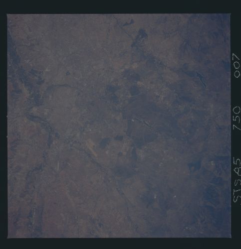
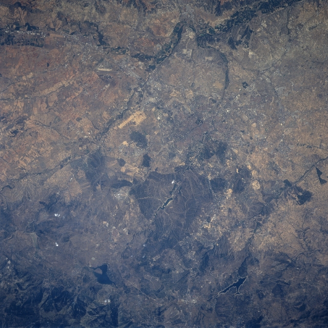
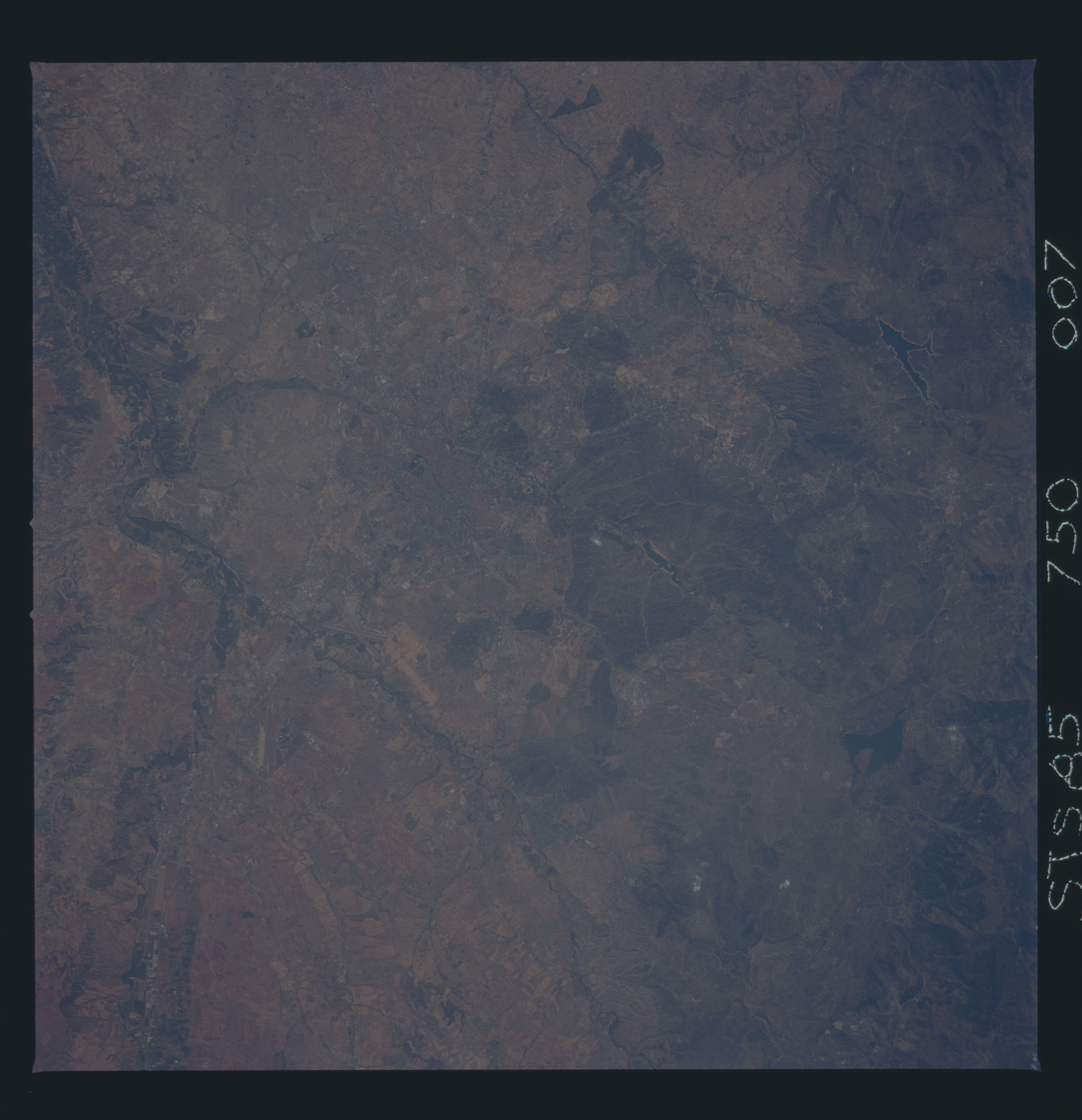
Image Caption: STS085-750-007 Madrid Area, Spain August 1997
The location of Madrid, the capital of Spain, is barely discernible (slightly above and right of center) on this low resolution, southeast view of one of Spain's many interior alluvial basins. The city is located in the center of a highland plateau that is rimmed by mountains, known as the Meseta Central. The Jarana River and its cultivated floodplain (dark swath across top of the image) make an abrupt course change approximately 13 miles (22 km) southeast of Madrid. Runways (light-colored, linear features) of two of Madrid's airports, including the intersecting runways of Barajas Airport, are visible east, northeast of the city. Two paralleling, southeasterly draining stream channels (Manzanares River and Guadaliz River) can be traced across this semi-arid landscape (towards center of the image). These intermittently flowing streams have their origins in the Sistema Central Mountains (dark area along bottom of picture). Several reservoirs (irregular-shaped, dark features) are observed along the southeastern slopes of the Sistema Central Mountains. The whitish-looking border around two of the reservoirs depict an exposed shoreline caused by low water levels in the lakes. The subdued colors displayed in this image are indicative the arid conditions that exist in this elevated massif of central Spain. Most of the rural terrain is used for sheep grazing (pastoral economy) or the growing of wheat and barely.
The location of Madrid, the capital of Spain, is barely discernible (slightly above and right of center) on this low resolution, southeast view of one of Spain's many interior alluvial basins. The city is located in the center of a highland plateau that is rimmed by mountains, known as the Meseta Central. The Jarana River and its cultivated floodplain (dark swath across top of the image) make an abrupt course change approximately 13 miles (22 km) southeast of Madrid. Runways (light-colored, linear features) of two of Madrid's airports, including the intersecting runways of Barajas Airport, are visible east, northeast of the city. Two paralleling, southeasterly draining stream channels (Manzanares River and Guadaliz River) can be traced across this semi-arid landscape (towards center of the image). These intermittently flowing streams have their origins in the Sistema Central Mountains (dark area along bottom of picture). Several reservoirs (irregular-shaped, dark features) are observed along the southeastern slopes of the Sistema Central Mountains. The whitish-looking border around two of the reservoirs depict an exposed shoreline caused by low water levels in the lakes. The subdued colors displayed in this image are indicative the arid conditions that exist in this elevated massif of central Spain. Most of the rural terrain is used for sheep grazing (pastoral economy) or the growing of wheat and barely.
