STS081-717-72
| NASA Photo ID | STS081-717-72 |
| Focal Length | 250mm |
| Date taken | 1997.01.14 |
| Time taken | 09:48:39 GMT |
Resolutions offered for this image:
4078 x 4078 pixels 639 x 639 pixels 5700 x 5900 pixels 483 x 500 pixels
4078 x 4078 pixels 639 x 639 pixels 5700 x 5900 pixels 483 x 500 pixels
Cloud masks available for this image:
Spacecraft nadir point: 41.9° N, 13.4° E
Photo center point: 43.0° N, 12.0° E
Photo center point by machine learning:
Photo center point: 43.0° N, 12.0° E
Photo center point by machine learning:
Nadir to Photo Center: Northwest
Spacecraft Altitude: 195 nautical miles (361km)
Country or Geographic Name: | ITALY |
Features: | LAKE TRASIMENO |
| Features Found Using Machine Learning: | |
Cloud Cover Percentage: | 0 (no clouds present) |
Sun Elevation Angle: | 24° |
Sun Azimuth: | 158° |
Camera: | Hasselblad |
Focal Length: | 250mm |
Camera Tilt: | 29 degrees |
Format: | 5046: Kodak, natural color positive, Lumiere 100/5046, ASA 100, standard base |
Film Exposure: | Normal |
| Additional Information | |
| Width | Height | Annotated | Cropped | Purpose | Links |
|---|---|---|---|---|---|
| 4078 pixels | 4078 pixels | No | No | Earth From Space collection | Download Image |
| 639 pixels | 639 pixels | No | No | Earth From Space collection | Download Image |
| 5700 pixels | 5900 pixels | No | No | Download Image | |
| 483 pixels | 500 pixels | No | No | Download Image |
Download Packaged File
Download a Google Earth KML for this Image
View photo footprint information
Download a GeoTIFF for this photo
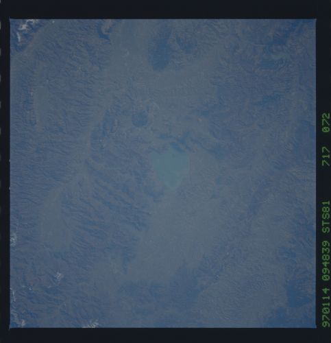
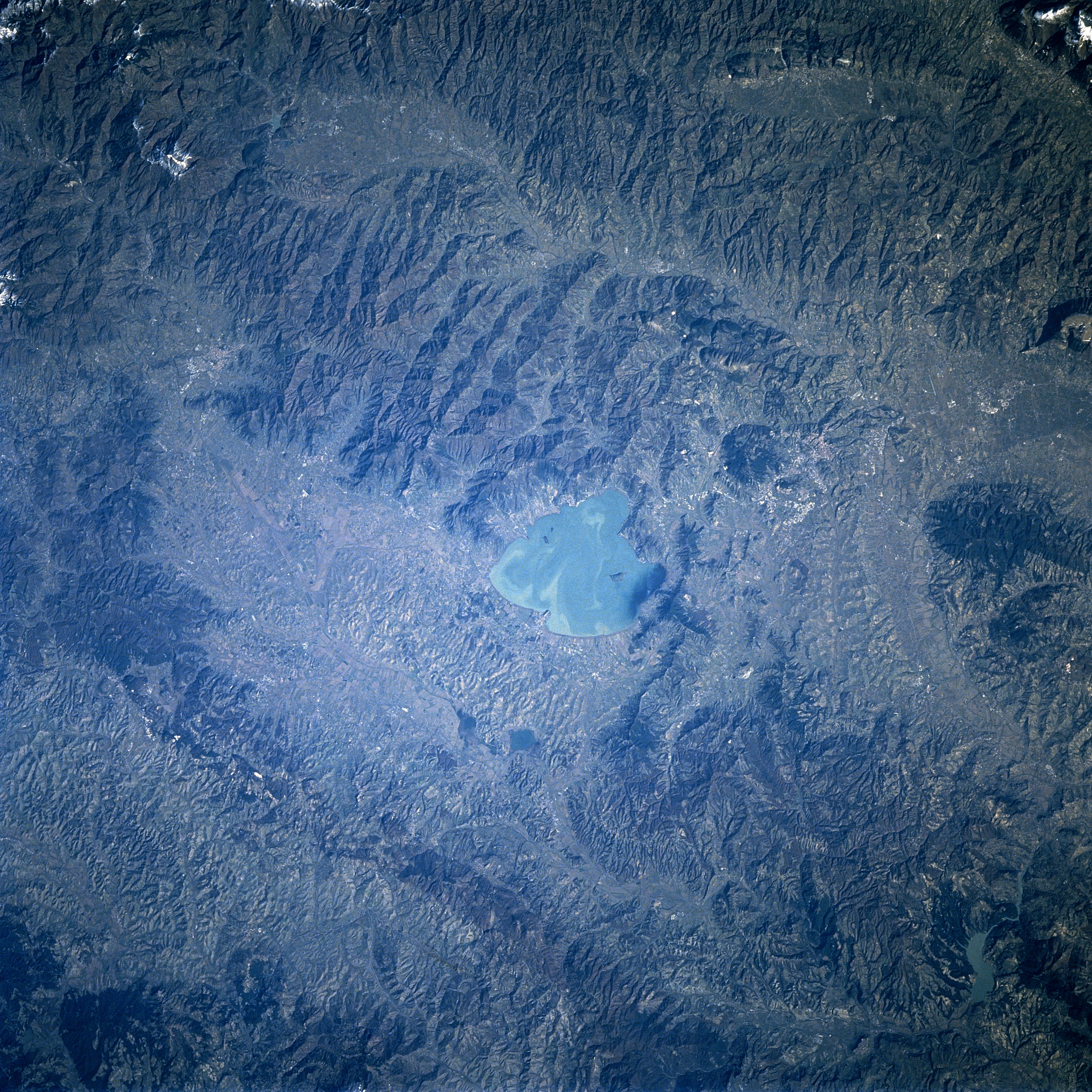
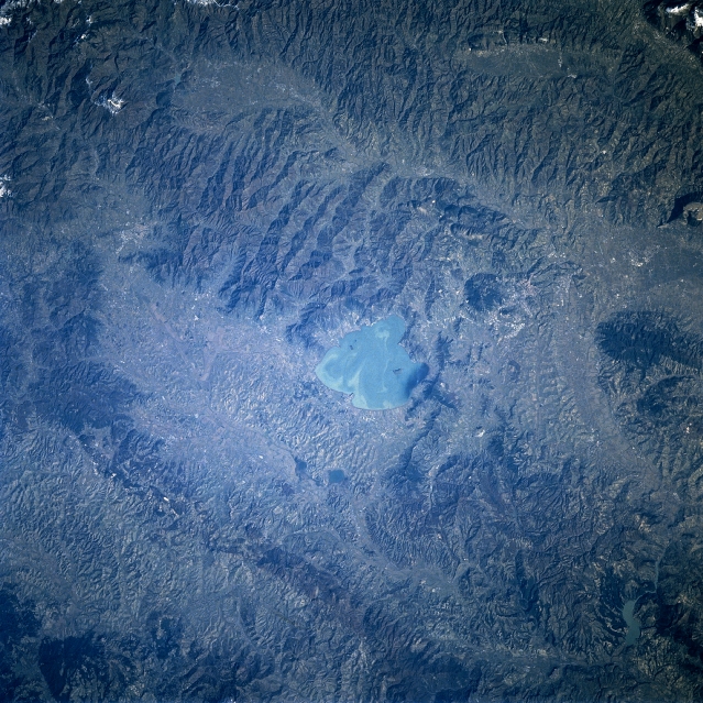
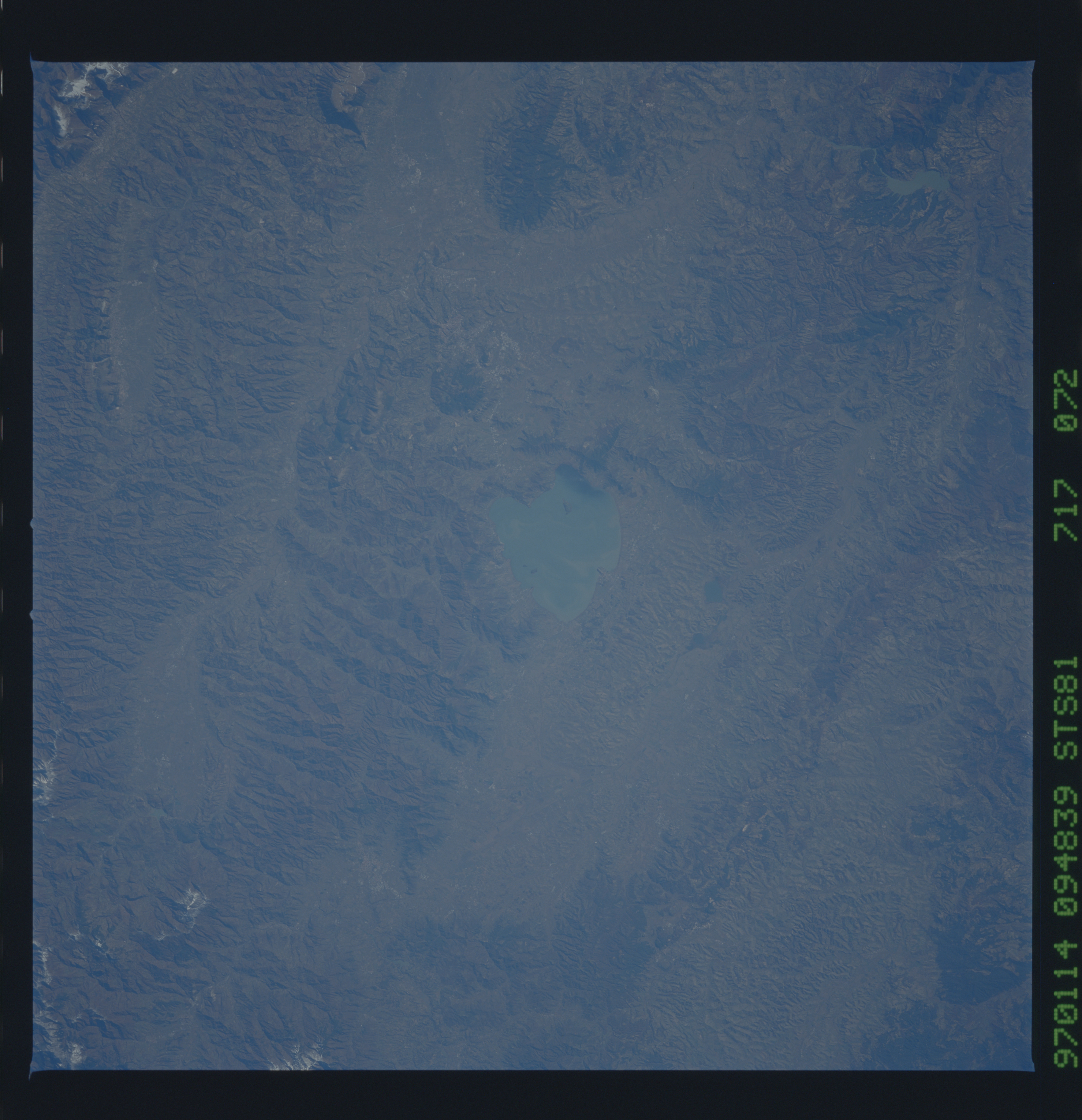
Image Caption: STS081-717-072 Trasimeno Lake, Italy January 1997
Trasimeno Lake, seen here near the center of the picture, is located geographically in central Italy. Although this image lacks subtle details of the rugged landscape that surrounds the lake, there is sufficient contrast to show that most of the scene is mountainous terrain of the Umbrian Apennine Mountains. The major railroad and highway that connects Rome with Firenze passes through a valley (aligned northwest-southwest) immediately west of Lake Trasimeno. The Italian city of Perugia is barely visible (right middle edge) 10 miles (16 km) east of the lake. Fierce fighting took place between British and German troops in many of these narrow valleys during World War II.
Trasimeno Lake, seen here near the center of the picture, is located geographically in central Italy. Although this image lacks subtle details of the rugged landscape that surrounds the lake, there is sufficient contrast to show that most of the scene is mountainous terrain of the Umbrian Apennine Mountains. The major railroad and highway that connects Rome with Firenze passes through a valley (aligned northwest-southwest) immediately west of Lake Trasimeno. The Italian city of Perugia is barely visible (right middle edge) 10 miles (16 km) east of the lake. Fierce fighting took place between British and German troops in many of these narrow valleys during World War II.
