STS079-810-1
| NASA Photo ID | STS079-810-1 |
| Focal Length | 250mm |
| Date taken | 1996.09.23 |
| Time taken | 16:28:59 GMT |
Resolutions offered for this image:
4068 x 4096 pixels 635 x 640 pixels 5700 x 5900 pixels 483 x 500 pixels 510 x 500 pixels 479 x 477 pixels
4068 x 4096 pixels 635 x 640 pixels 5700 x 5900 pixels 483 x 500 pixels 510 x 500 pixels 479 x 477 pixels

Cloud masks available for this image:
Spacecraft nadir point: 40.1° N, 123.8° W
Photo center point: 39.5° N, 122.0° W
Photo center point by machine learning:
Photo center point: 39.5° N, 122.0° W
Photo center point by machine learning:
Nadir to Photo Center: East
Spacecraft Altitude: 201 nautical miles (372km)
Country or Geographic Name: | USA-CALIFORNIA |
Features: | AGRICULTURE, LAKE, CHICO |
| Features Found Using Machine Learning: | |
Cloud Cover Percentage: | 0 (no clouds present) |
Sun Elevation Angle: | 26° |
Sun Azimuth: | 115° |
Camera: | Hasselblad |
Focal Length: | 250mm |
Camera Tilt: | 30 degrees |
Format: | 5046: Kodak, natural color positive, Lumiere 100/5046, ASA 100, standard base |
Film Exposure: | Normal |
| Additional Information | |
| Width | Height | Annotated | Cropped | Purpose | Links |
|---|---|---|---|---|---|
| 4068 pixels | 4096 pixels | No | No | Earth From Space collection | Download Image |
| 635 pixels | 640 pixels | No | No | Earth From Space collection | Download Image |
| 5700 pixels | 5900 pixels | No | No | Download Image | |
| 483 pixels | 500 pixels | No | No | Download Image | |
| 510 pixels | 500 pixels | No | No | Download Image | |
| 479 pixels | 477 pixels | Download Image |
Download Packaged File
Download a Google Earth KML for this Image
View photo footprint information
Download a GeoTIFF for this photo
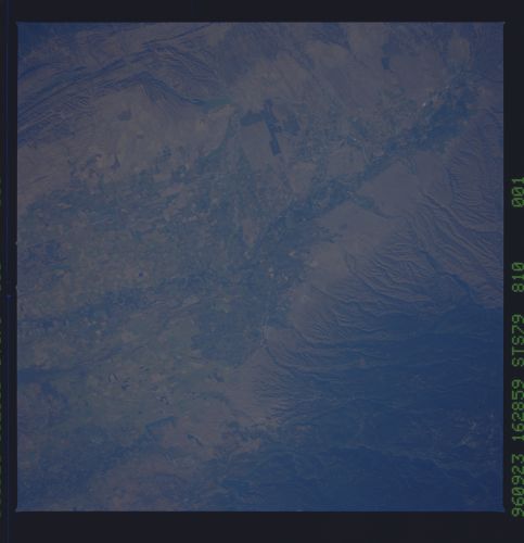
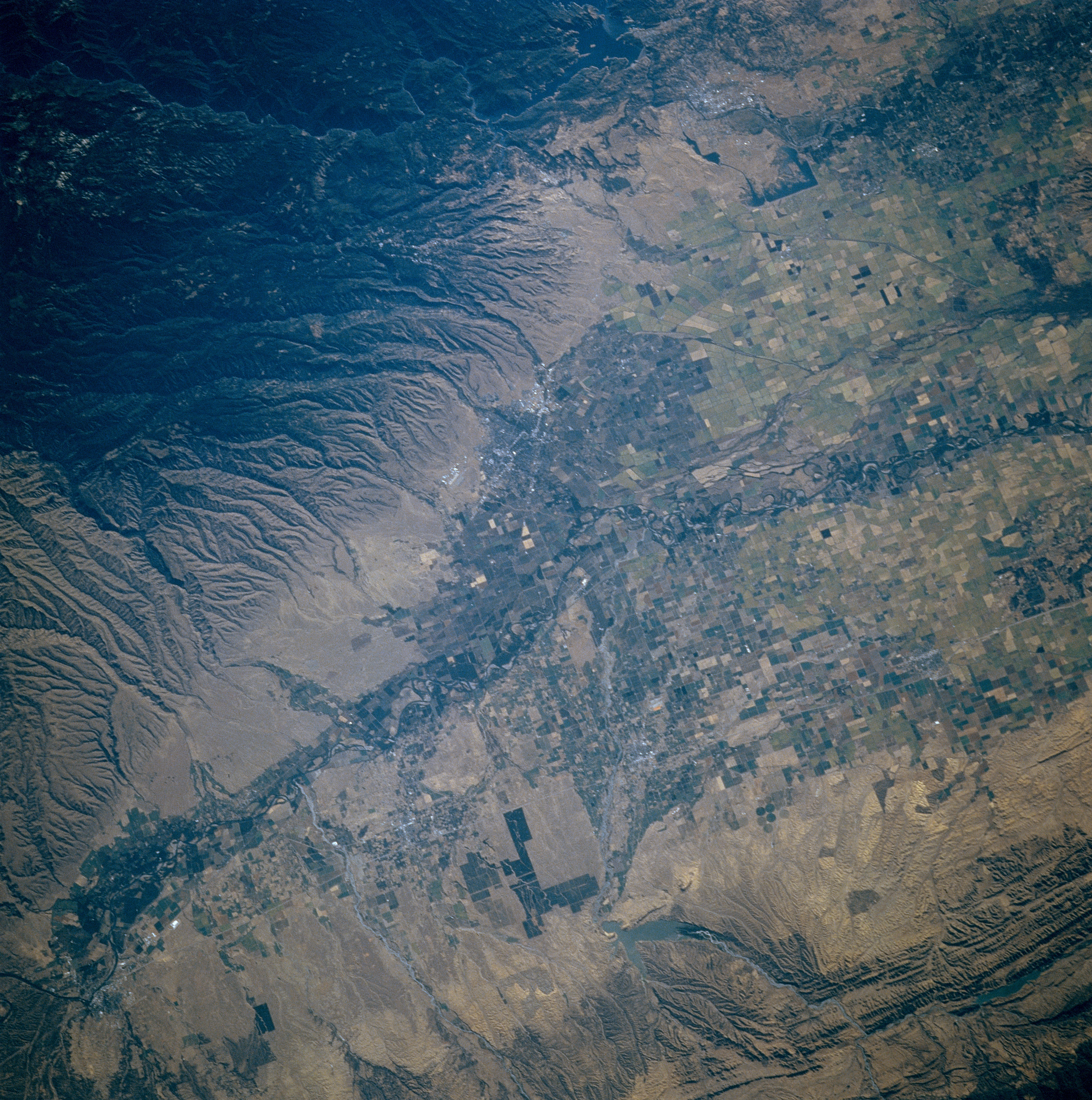
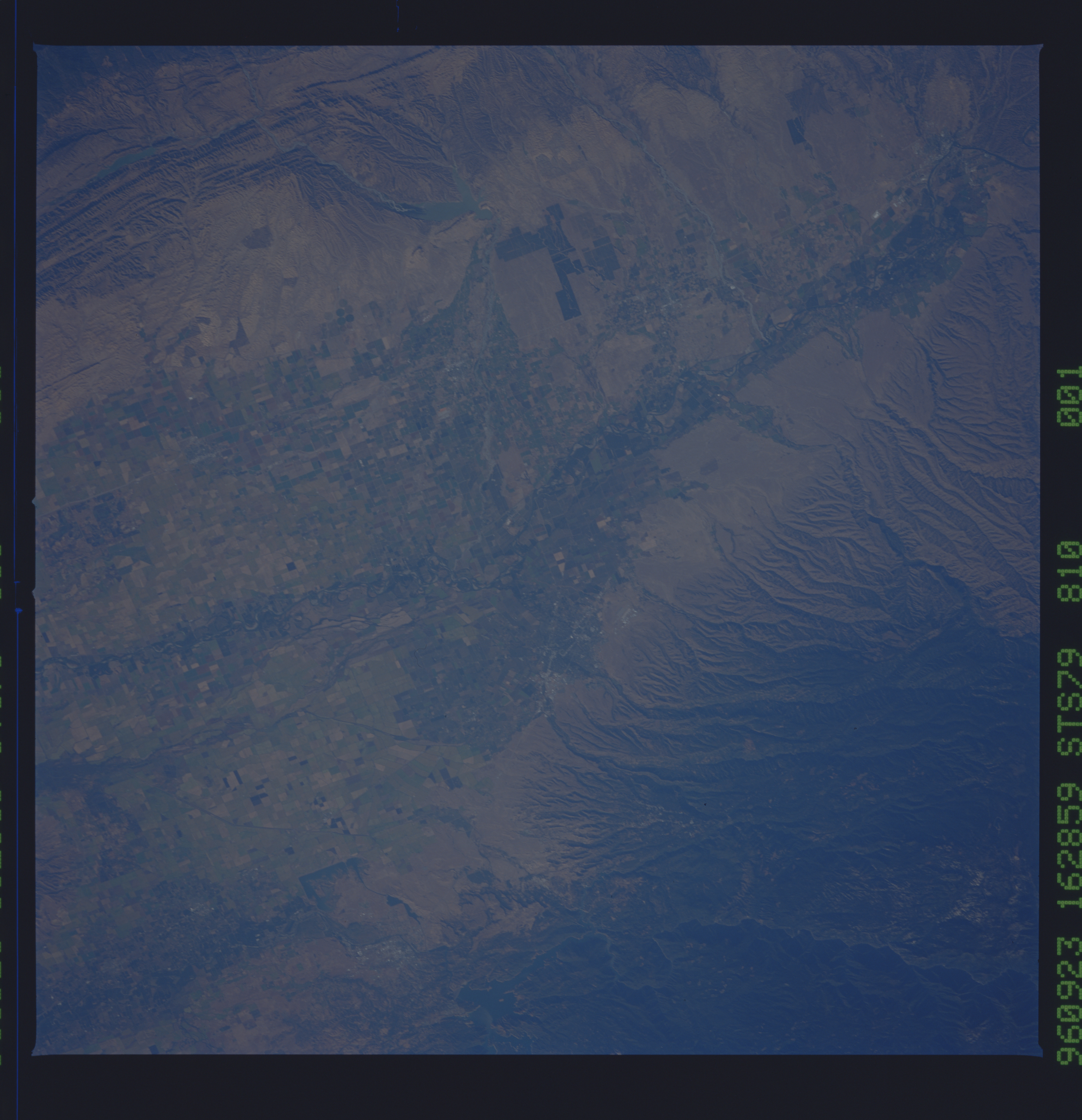
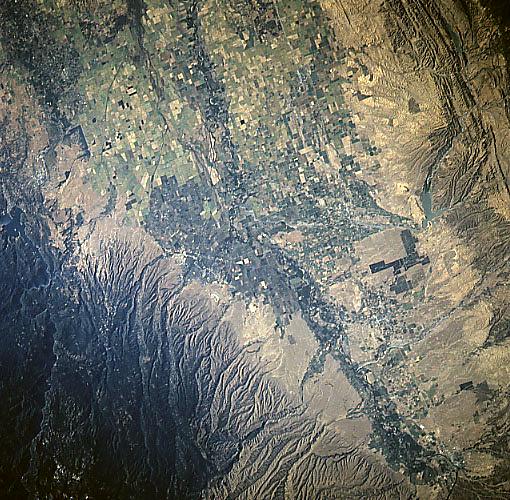
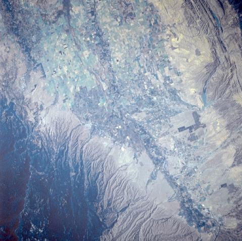
Image Caption: STS079-810-001 Sacramento Valley, California, USA September 1996
The Sacramento River Valley is a flat, fertile plain that is flanked by high mountains to the east and lower but rugged hills to the west. The central valley of the Sacramento Basin narrows near the northern end of the valley. The deeply eroded and wooded southwestern flank of a mountain range that includes Mt. Lassen (not in this image) covers the northeastern third of the picture (dark terrain). Several lower, paralleling hilly ridges are visible along the western side of the valley. Black Butte Lake, a small Y-shaped reservoir, is barely visible near the edge of these folded beds (west center). Within the valley, the Sacramento River floodplain (and the river's channels) can be traced across a landscape that is covered by a multitude of cultivated fields (angular-looking patterns, variety of colors). Interstate Highway 5 is observed as it runs north-south along the western side of the Sacramento Valley. The location of Chico (gray fine-textured feature) is barely discernible along the eastern side of the valley.
The Sacramento River Valley is a flat, fertile plain that is flanked by high mountains to the east and lower but rugged hills to the west. The central valley of the Sacramento Basin narrows near the northern end of the valley. The deeply eroded and wooded southwestern flank of a mountain range that includes Mt. Lassen (not in this image) covers the northeastern third of the picture (dark terrain). Several lower, paralleling hilly ridges are visible along the western side of the valley. Black Butte Lake, a small Y-shaped reservoir, is barely visible near the edge of these folded beds (west center). Within the valley, the Sacramento River floodplain (and the river's channels) can be traced across a landscape that is covered by a multitude of cultivated fields (angular-looking patterns, variety of colors). Interstate Highway 5 is observed as it runs north-south along the western side of the Sacramento Valley. The location of Chico (gray fine-textured feature) is barely discernible along the eastern side of the valley.
