STS078-760-8
| NASA Photo ID | STS078-760-8 |
| Focal Length | 250mm |
| Date taken | 1996.06.28 |
| Time taken | 14:39:27 GMT |
Resolutions offered for this image:
4031 x 4031 pixels 639 x 639 pixels 5700 x 5900 pixels 483 x 500 pixels 495 x 505 pixels 479 x 479 pixels
4031 x 4031 pixels 639 x 639 pixels 5700 x 5900 pixels 483 x 500 pixels 495 x 505 pixels 479 x 479 pixels


Cloud masks available for this image:
Spacecraft nadir point: 38.5° N, 77.9° W
Photo center point: 39.0° N, 78.5° W
Photo center point by machine learning:
Photo center point: 39.0° N, 78.5° W
Photo center point by machine learning:
Nadir to Photo Center: Northwest
Spacecraft Altitude: 143 nautical miles (265km)
Country or Geographic Name: | USA-VIRGINIA |
Features: | APPALACHIANS, WINCHESTER |
| Features Found Using Machine Learning: | |
Cloud Cover Percentage: | 0 (no clouds present) |
Sun Elevation Angle: | 54° |
Sun Azimuth: | 103° |
Camera: | Hasselblad |
Focal Length: | 250mm |
Camera Tilt: | 18 degrees |
Format: | 2443: Kodak Aerochrome 2443, color IR, thin base, EA-5 process thru June 1999, E-6 process afterward |
Film Exposure: | Normal |
| Additional Information | |
| Width | Height | Annotated | Cropped | Purpose | Links |
|---|---|---|---|---|---|
| 4031 pixels | 4031 pixels | No | No | Earth From Space collection | Download Image |
| 639 pixels | 639 pixels | No | No | Earth From Space collection | Download Image |
| 5700 pixels | 5900 pixels | No | No | Download Image | |
| 483 pixels | 500 pixels | No | No | Download Image | |
| 495 pixels | 505 pixels | No | No | Download Image | |
| 479 pixels | 479 pixels | Download Image |
Download Packaged File
Download a Google Earth KML for this Image
View photo footprint information
Download a GeoTIFF for this photo
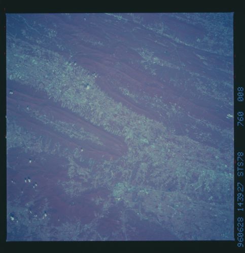
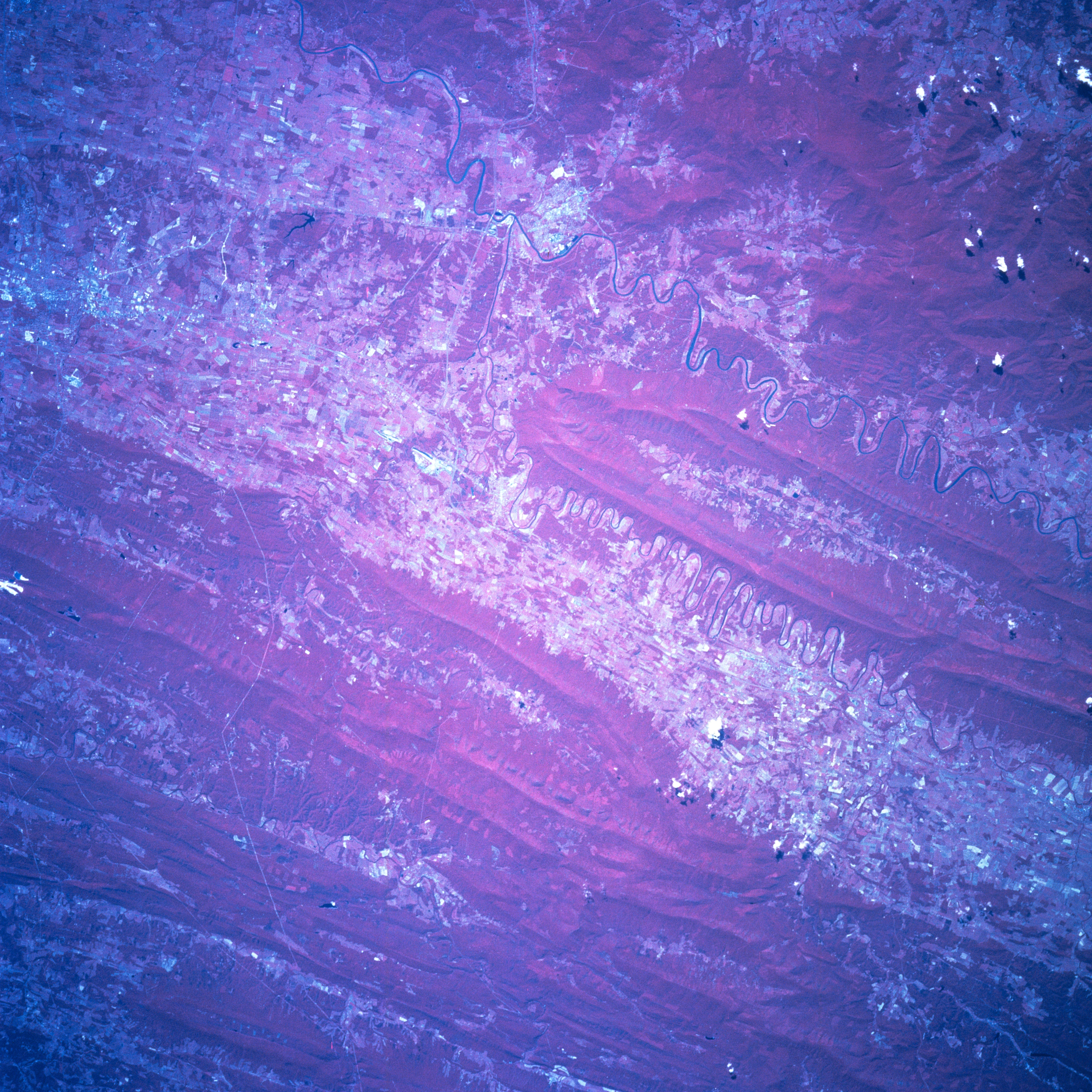
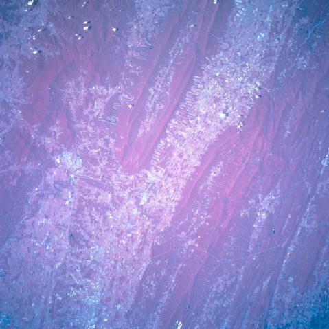
Image Caption: STS078-760-008 Shenandoah River Valley, Virginia, USA June 1996
The northeast-southwest trending Shenandoah Valley, located in northern Virginia, is clearly visible in this color infrared image (red colors represent green vegetation). The two dramatically meandering rivers, North Fork and South Fork of the Shenandoah River (dark lines), merge into one channel at Front Royal (left middle). The location of Winchester is a barely discernible cluster of light colored features near the northeast corner of the picture. The very thin, light-colored lines that cross the folded Appalachian Mountains near the bottom of the picture are power line right-of-ways. Some of the parallel, heavily wooded mountain ridges of the Appalachians in the northwest quadrant are located in West Virginia.
The northeast-southwest trending Shenandoah Valley, located in northern Virginia, is clearly visible in this color infrared image (red colors represent green vegetation). The two dramatically meandering rivers, North Fork and South Fork of the Shenandoah River (dark lines), merge into one channel at Front Royal (left middle). The location of Winchester is a barely discernible cluster of light colored features near the northeast corner of the picture. The very thin, light-colored lines that cross the folded Appalachian Mountains near the bottom of the picture are power line right-of-ways. Some of the parallel, heavily wooded mountain ridges of the Appalachians in the northwest quadrant are located in West Virginia.
