STS078-732-56
| NASA Photo ID | STS078-732-56 |
| Focal Length | 250mm |
| Date taken | 1996.06.24 |
| Time taken | 10:27:22 GMT |
Resolutions offered for this image:
4067 x 4067 pixels 639 x 639 pixels 5700 x 5900 pixels 483 x 500 pixels
4067 x 4067 pixels 639 x 639 pixels 5700 x 5900 pixels 483 x 500 pixels


Cloud masks available for this image:
Spacecraft nadir point: 37.0° N, 27.1° E
Photo center point: 38.5° N, 27.0° E
Photo center point by machine learning:
Photo center point: 38.5° N, 27.0° E
Photo center point by machine learning:
Nadir to Photo Center: North
Spacecraft Altitude: 145 nautical miles (269km)
Camera: | Hasselblad |
Focal Length: | 250mm |
Camera Tilt: | 32 degrees |
Format: | 5046: Kodak, natural color positive, Lumiere 100/5046, ASA 100, standard base |
Film Exposure: | Normal |
| Additional Information | |
| Width | Height | Annotated | Cropped | Purpose | Links |
|---|---|---|---|---|---|
| 4067 pixels | 4067 pixels | No | No | Earth From Space collection | Download Image |
| 639 pixels | 639 pixels | No | No | Earth From Space collection | Download Image |
| 5700 pixels | 5900 pixels | No | No | Download Image | |
| 483 pixels | 500 pixels | No | No | Download Image |
Download Packaged File
Download a Google Earth KML for this Image
View photo footprint information
Download a GeoTIFF for this photo
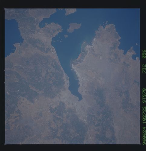
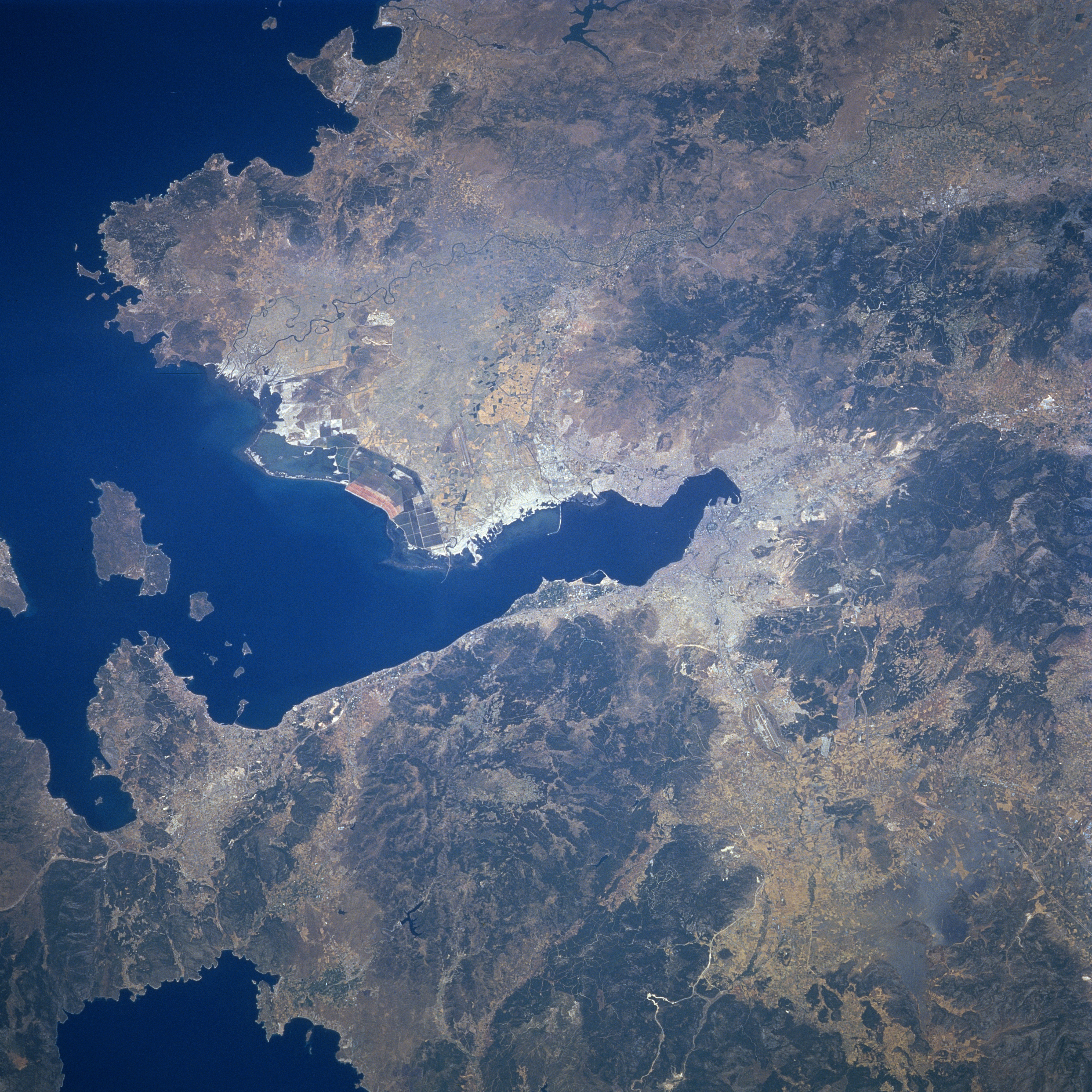
Image Caption: STS078-732-056 Gulf of Izmir, Izmir, Turkey June 1996
The seaport city of Izmir (just right of the center of the image), the third largest city in Turkey, and the country's most important port in Asia, can be seen in this north-looking view. Izmir is an important commercial and industrial center, whose manufacturers include paper, metal goods, dyes, textiles, processed food, and tobacco. The city is located in one of the richest agricultural regions in Turkey. The expanding city ascends the gentle slopes that encircle it. It is a major transportation hub with lines extending outward to all sections of the country. Izmir was nearly destroyed by fire in September 1922. Izmir was badly damaged by earthquakes in 1928 and again in 1939. The Gulf of Izmir, an arm of the Aegean Sea, extends westward or left from near the center of the image to the left center of the image.
The seaport city of Izmir (just right of the center of the image), the third largest city in Turkey, and the country's most important port in Asia, can be seen in this north-looking view. Izmir is an important commercial and industrial center, whose manufacturers include paper, metal goods, dyes, textiles, processed food, and tobacco. The city is located in one of the richest agricultural regions in Turkey. The expanding city ascends the gentle slopes that encircle it. It is a major transportation hub with lines extending outward to all sections of the country. Izmir was nearly destroyed by fire in September 1922. Izmir was badly damaged by earthquakes in 1928 and again in 1939. The Gulf of Izmir, an arm of the Aegean Sea, extends westward or left from near the center of the image to the left center of the image.
