STS077-741-96
| NASA Photo ID | STS077-741-96 |
| Focal Length | 250mm |
| Date taken | 1996.05.27 |
| Time taken | 05:29:53 GMT |
Resolutions offered for this image:
794 x 795 pixels 5285 x 5285 pixels 639 x 639 pixels 5700 x 5900 pixels 483 x 500 pixels 640 x 480 pixels
794 x 795 pixels 5285 x 5285 pixels 639 x 639 pixels 5700 x 5900 pixels 483 x 500 pixels 640 x 480 pixels


Cloud masks available for this image:
Spacecraft nadir point: 36.2° S, 138.1° E
Photo center point: 35.0° S, 138.5° E
Photo center point by machine learning:
Photo center point: 35.0° S, 138.5° E
Photo center point by machine learning:
Nadir to Photo Center: North
Spacecraft Altitude: 152 nautical miles (282km)
Camera: | Hasselblad |
Focal Length: | 250mm |
Camera Tilt: | 27 degrees |
Format: | 5046: Kodak, natural color positive, Lumiere 100/5046, ASA 100, standard base |
Film Exposure: | Normal |
| Additional Information | |
| Width | Height | Annotated | Cropped | Purpose | Links |
|---|---|---|---|---|---|
| 794 pixels | 795 pixels | No | No | Cities collection | Download Image |
| 5285 pixels | 5285 pixels | No | No | Earth From Space collection | Download Image |
| 639 pixels | 639 pixels | No | No | Earth From Space collection | Download Image |
| 5700 pixels | 5900 pixels | No | No | Download Image | |
| 483 pixels | 500 pixels | No | No | Download Image | |
| 640 pixels | 480 pixels | No | No | Download Image |
Download Packaged File
Download a Google Earth KML for this Image
View photo footprint information
Download a GeoTIFF for this photo
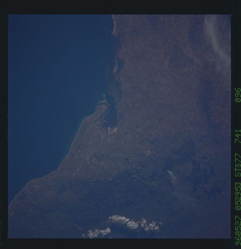
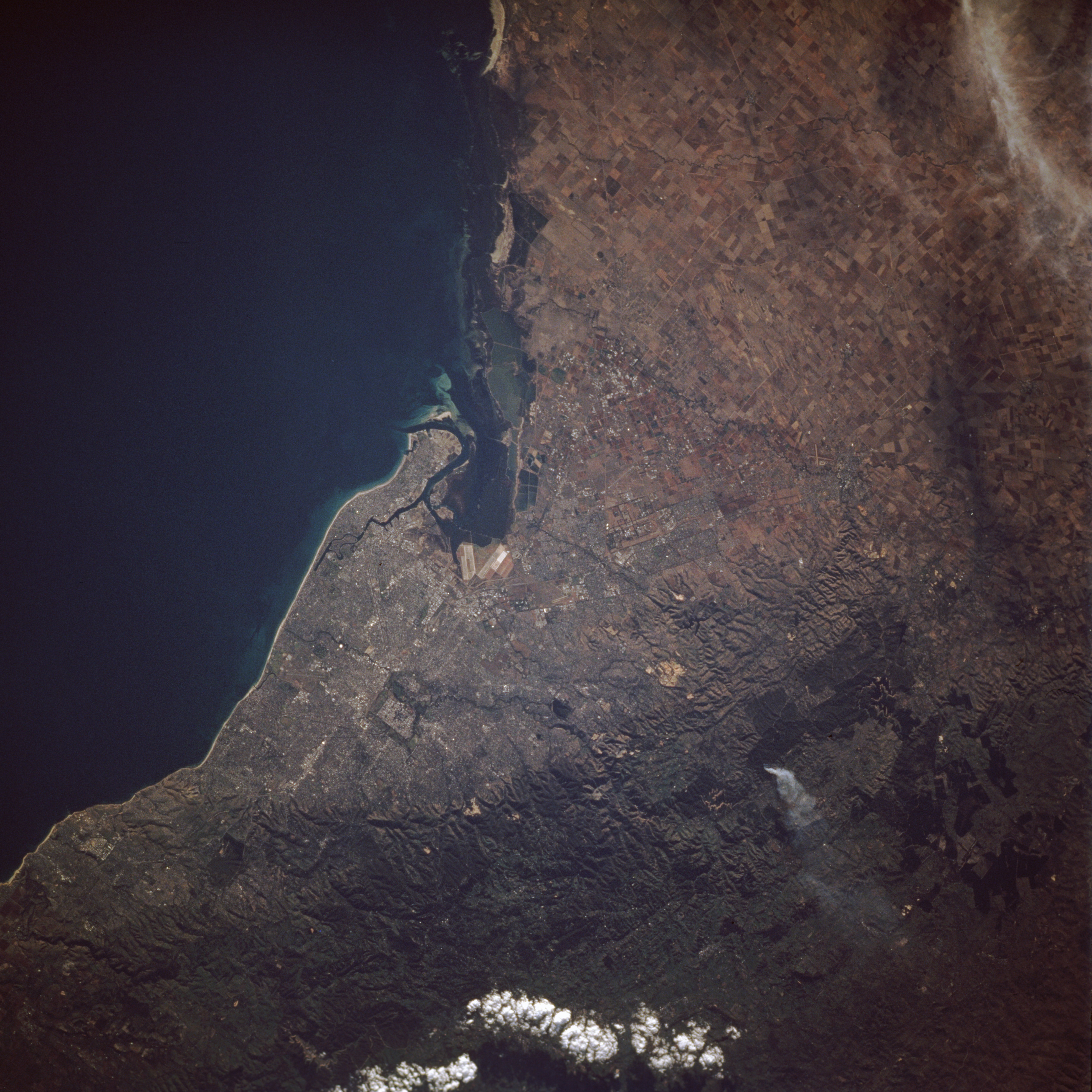
Image Caption: STS077-741-096 Adelaide, South Australia, Australia May 1996
Visible in this northeast-looking, low-oblique photograph is Adelaide--the capital and chief port of the state of South Australia and the first municipality in Australia to be incorporated. The city, whose population is approximately 1 million, sits at the mouth of the Torrens River on the Gulf of Saint Vincent, an inlet of the Indian Ocean 90 miles (145 kilometers) long and 45 miles (72 kilometers) wide from which salt is obtained by solar evaporation. Adelaide has automotive, farm implement, furniture, and textile industries. Grain, wool, dairy products, and fruit are chief exports. The rugged Mount Lofty Range, in which a fire and its smoke plume are discernible, lies south and east of the city (bottom of the photograph).
Visible in this northeast-looking, low-oblique photograph is Adelaide--the capital and chief port of the state of South Australia and the first municipality in Australia to be incorporated. The city, whose population is approximately 1 million, sits at the mouth of the Torrens River on the Gulf of Saint Vincent, an inlet of the Indian Ocean 90 miles (145 kilometers) long and 45 miles (72 kilometers) wide from which salt is obtained by solar evaporation. Adelaide has automotive, farm implement, furniture, and textile industries. Grain, wool, dairy products, and fruit are chief exports. The rugged Mount Lofty Range, in which a fire and its smoke plume are discernible, lies south and east of the city (bottom of the photograph).
