STS076-727-80

| NASA Photo ID | STS076-727-80 |
| Focal Length | 100mm |
| Date taken | 1996.03.30 |
| Time taken | 02:00:16 GMT |
Resolutions offered for this image:
4090 x 4090 pixels 640 x 640 pixels 5700 x 5900 pixels 500 x 518 pixels 640 x 480 pixels 523 x 514 pixels
4090 x 4090 pixels 640 x 640 pixels 5700 x 5900 pixels 500 x 518 pixels 640 x 480 pixels 523 x 514 pixels

Cloud masks available for this image:
Spacecraft nadir point: 32.5° N, 92.7° E
Photo center point: 28.0° N, 87.0° E
Photo center point by machine learning:
Photo center point: 28.0° N, 87.0° E
Photo center point by machine learning:
Nadir to Photo Center: Southwest
Spacecraft Altitude: 207 nautical miles (383km)
Country or Geographic Name: | NEPAL |
Features: | TIBET, MT. EVEREST, INDIA |
| Features Found Using Machine Learning: | |
Cloud Cover Percentage: | 30 (26-50)% |
Sun Elevation Angle: | 28° |
Sun Azimuth: | 105° |
Camera: | Hasselblad |
Focal Length: | 100mm |
Camera Tilt: | Low Oblique |
Format: | 5046: Kodak, natural color positive, Lumiere 100/5046, ASA 100, standard base |
Film Exposure: | Normal |
| Additional Information | |
| Width | Height | Annotated | Cropped | Purpose | Links |
|---|---|---|---|---|---|
| 4090 pixels | 4090 pixels | No | No | Earth From Space collection | Download Image |
| 640 pixels | 640 pixels | No | No | Earth From Space collection | Download Image |
| 5700 pixels | 5900 pixels | No | No | Download Image | |
| 500 pixels | 518 pixels | No | No | Download Image | |
| 640 pixels | 480 pixels | No | No | Download Image | |
| 523 pixels | 514 pixels | Download Image |
Download Packaged File
Download a Google Earth KML for this Image
View photo footprint information
Download a GeoTIFF for this photo
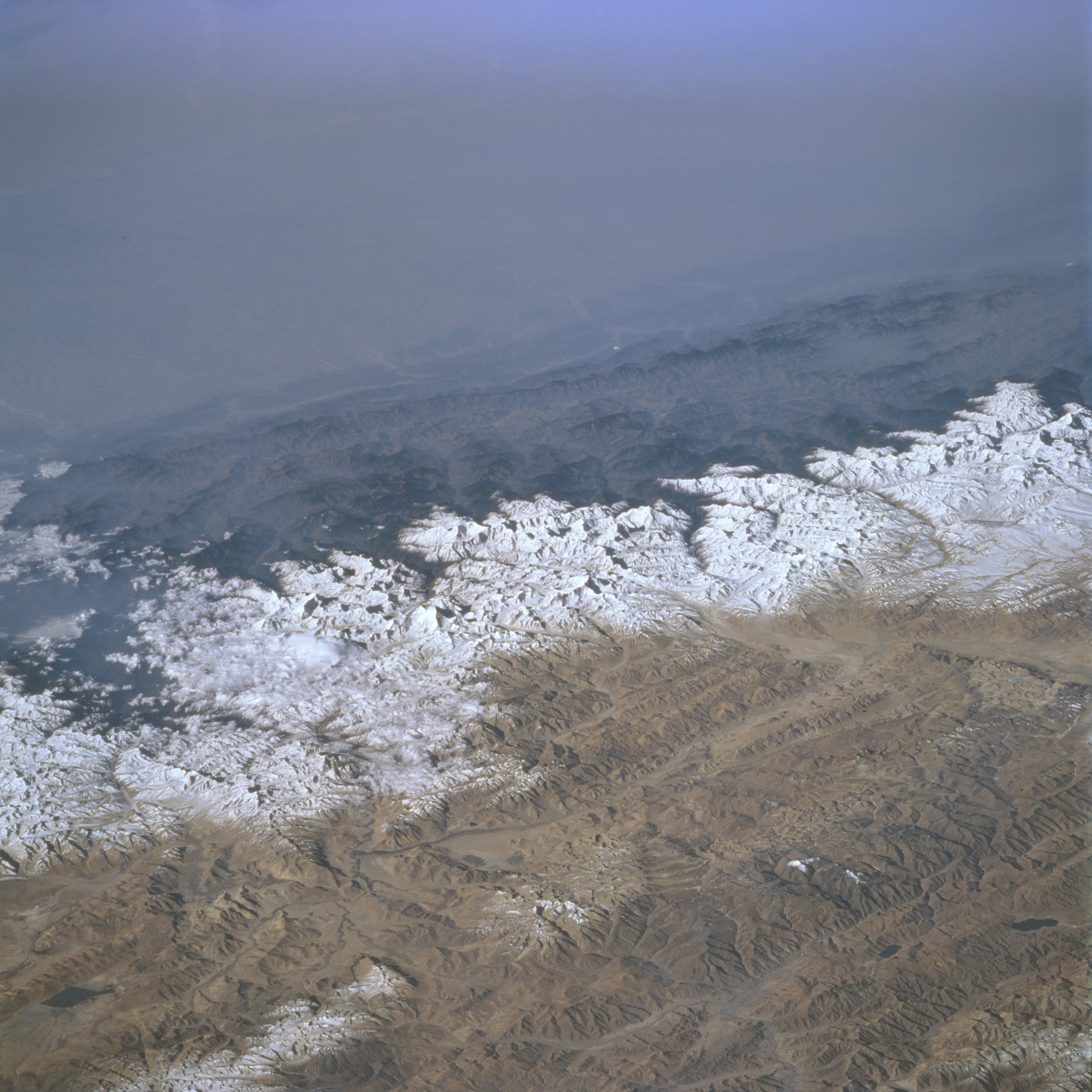
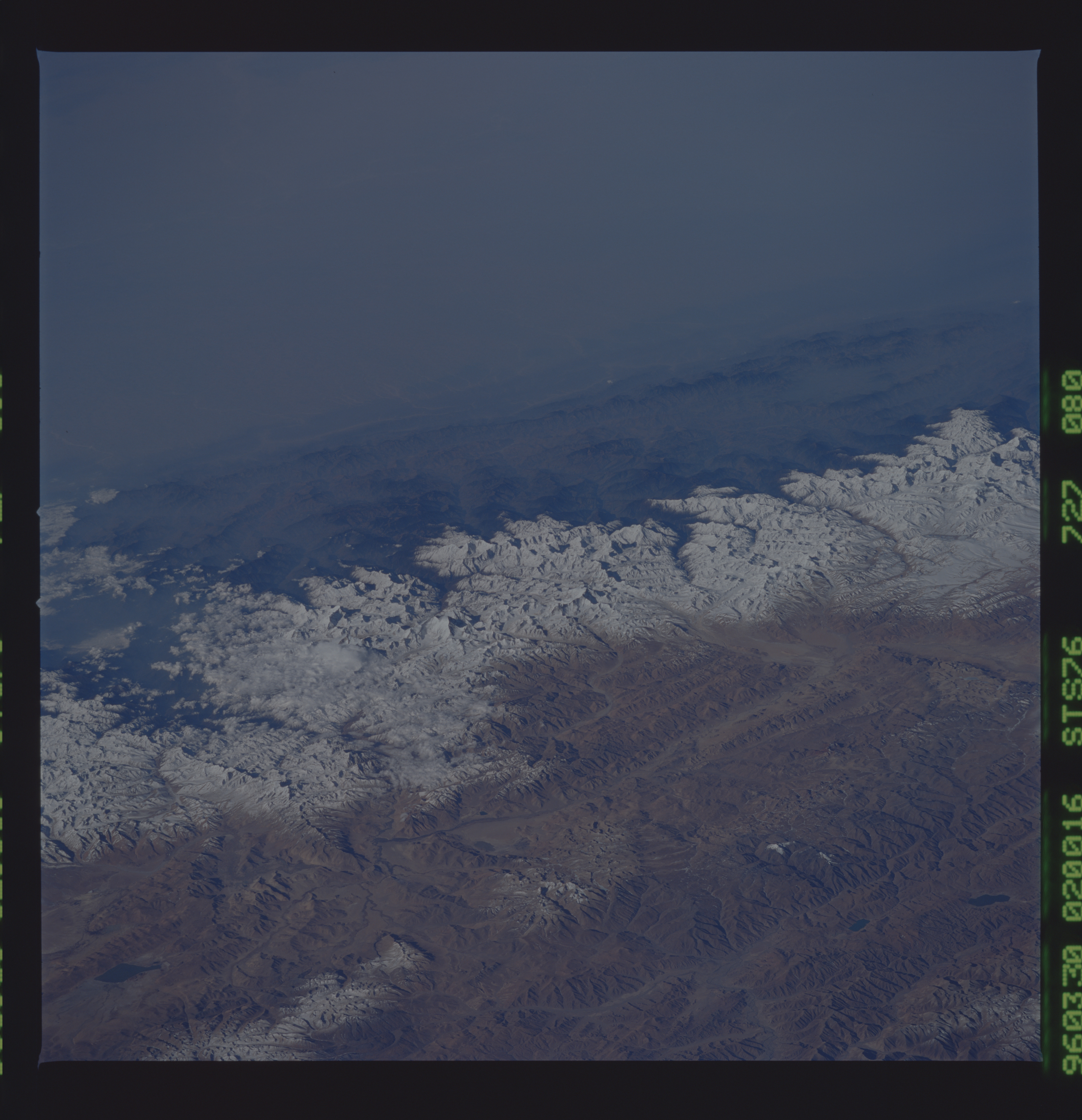
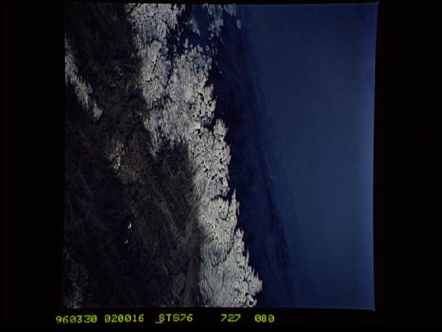
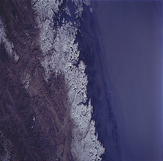
Image Caption: STS076-727-080 Himalaya Mountains, Nepal March 1996
The Himalaya Mountains provide a formidable physical barrier between the hazy environmental conditions of north central India (top) and Nepal (middle), and the clear atmosphere of the Tibetan Plateau (lower third of image). Elevation disparities in this region of the world are tremendous. For example the elevations on the Gangetic Plain in India averages about 300 feet (92 meters) above sea level, the foothills (dark-looking features that run laterally across the image) in Nepal average about 2500 feet (762 meters), and finally the snow capped Himalayas average around 24000 feet (7315 meters). Mt. Everest, highest mountain peak in the world at 29028 feet (8848 meters), is visible as an identifiable bright feature (slightly below and left of center). Several east-west aligned fault valleys (result of tectonic forces-collision of plate boundaries) are visible on the sparsely vegetated Tibetan Plateau (China) where the average valley elevation is 15000 feet (4572 meters) above sea level. A small section of the easterly draining Brahmaputra River can be discerned near the lower right corner of the image.
The Himalaya Mountains provide a formidable physical barrier between the hazy environmental conditions of north central India (top) and Nepal (middle), and the clear atmosphere of the Tibetan Plateau (lower third of image). Elevation disparities in this region of the world are tremendous. For example the elevations on the Gangetic Plain in India averages about 300 feet (92 meters) above sea level, the foothills (dark-looking features that run laterally across the image) in Nepal average about 2500 feet (762 meters), and finally the snow capped Himalayas average around 24000 feet (7315 meters). Mt. Everest, highest mountain peak in the world at 29028 feet (8848 meters), is visible as an identifiable bright feature (slightly below and left of center). Several east-west aligned fault valleys (result of tectonic forces-collision of plate boundaries) are visible on the sparsely vegetated Tibetan Plateau (China) where the average valley elevation is 15000 feet (4572 meters) above sea level. A small section of the easterly draining Brahmaputra River can be discerned near the lower right corner of the image.
