STS075-719-41

| NASA Photo ID | STS075-719-41 |
| Focal Length | 250mm |
| Date taken | 1996.__.__ |
| Time taken | GMT |
Cloud masks available for this image:
Spacecraft nadir point:
Photo center point: 8.0° N, 100.0° E
Photo center point by machine learning:
Photo center point: 8.0° N, 100.0° E
Photo center point by machine learning:
Nadir to Photo Center:
Spacecraft Altitude: nautical miles (0km)
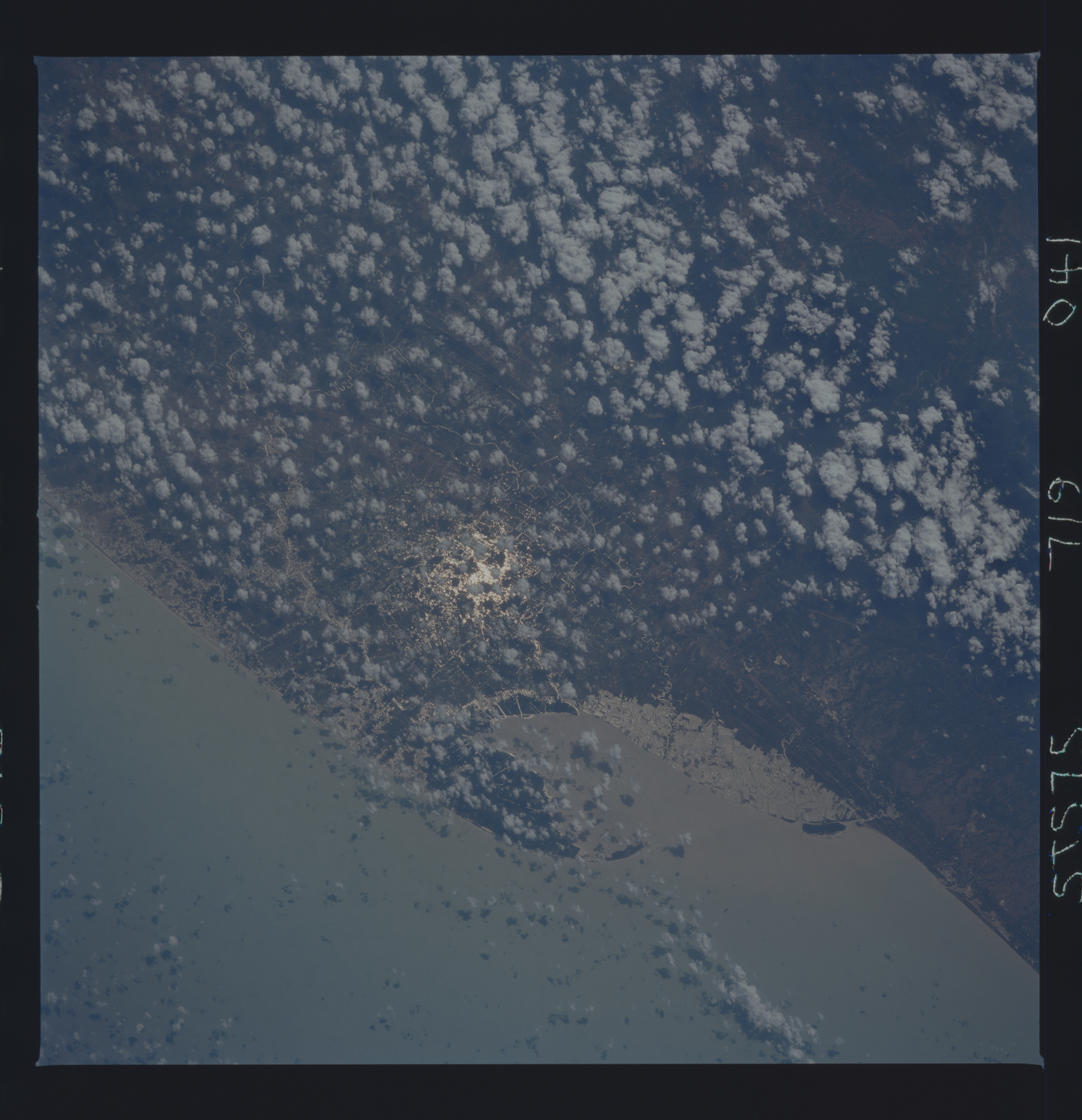
Country or Geographic Name: | THAILAND |
Features: | NAKHON BAY, COAST, SNGLNT |
| Features Found Using Machine Learning: | |
Cloud Cover Percentage: | 20 (11-25)% |
Sun Elevation Angle: | ° |
Sun Azimuth: | ° |
Camera: | Hasselblad |
Focal Length: | 250mm |
Camera Tilt: | Low Oblique |
Format: | 5046: Kodak, natural color positive, Lumiere 100/5046, ASA 100, standard base |
Film Exposure: | Normal |
| Additional Information | |
| Width | Height | Annotated | Cropped | Purpose | Links |
|---|---|---|---|---|---|
| 5700 pixels | 5900 pixels | No | No | Download Image | |
| 500 pixels | 518 pixels | No | No | Download Image | |
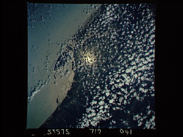
| 640 pixels | 480 pixels | No | No | Download Image |
Download Packaged File
Download a Google Earth KML for this Image
View photo footprint information
Download a GeoTIFF for this photo
Image Caption: Sunglint highlighting water resources around Ao Nakhon,
a bay on the central east coast of Thailand. The aquaculture area is
recorded on the 1987 ONC map as a mangrove swamp area.
a bay on the central east coast of Thailand. The aquaculture area is
recorded on the 1987 ONC map as a mangrove swamp area.
