STS074-734-8
| NASA Photo ID | STS074-734-8 |
| Focal Length | 250mm |
| Date taken | 1995.11.13 |
| Time taken | 09:57:57 GMT |
Resolutions offered for this image:
4020 x 4020 pixels 639 x 639 pixels 5700 x 5900 pixels 500 x 518 pixels 640 x 480 pixels
4020 x 4020 pixels 639 x 639 pixels 5700 x 5900 pixels 500 x 518 pixels 640 x 480 pixels

Cloud masks available for this image:
Spacecraft nadir point: 51.2° N, 6.9° E
Photo center point: 51.0° N, 7.0° E
Photo center point by machine learning:
Photo center point: 51.0° N, 7.0° E
Photo center point by machine learning:
Nadir to Photo Center: South
Spacecraft Altitude: 167 nautical miles (309km)
Country or Geographic Name: | GERMANY |
Features: | RHEIN RIVER, STRIP MINES |
| Features Found Using Machine Learning: | |
Cloud Cover Percentage: | 5 (1-10)% |
Sun Elevation Angle: | 19° |
Sun Azimuth: | 160° |
Camera: | Hasselblad |
Focal Length: | 250mm |
Camera Tilt: | 5 degrees |
Format: | 5046: Kodak, natural color positive, Lumiere 100/5046, ASA 100, standard base |
Film Exposure: | Under Exposed |
| Additional Information | |
| Width | Height | Annotated | Cropped | Purpose | Links |
|---|---|---|---|---|---|
| 4020 pixels | 4020 pixels | No | No | Earth From Space collection | Download Image |
| 639 pixels | 639 pixels | No | No | Earth From Space collection | Download Image |
| 5700 pixels | 5900 pixels | No | No | Download Image | |
| 500 pixels | 518 pixels | No | No | Download Image | |
| 640 pixels | 480 pixels | No | No | Download Image |
Download Packaged File
Download a Google Earth KML for this Image
View photo footprint information
Download a GeoTIFF for this photo
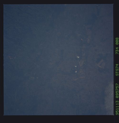
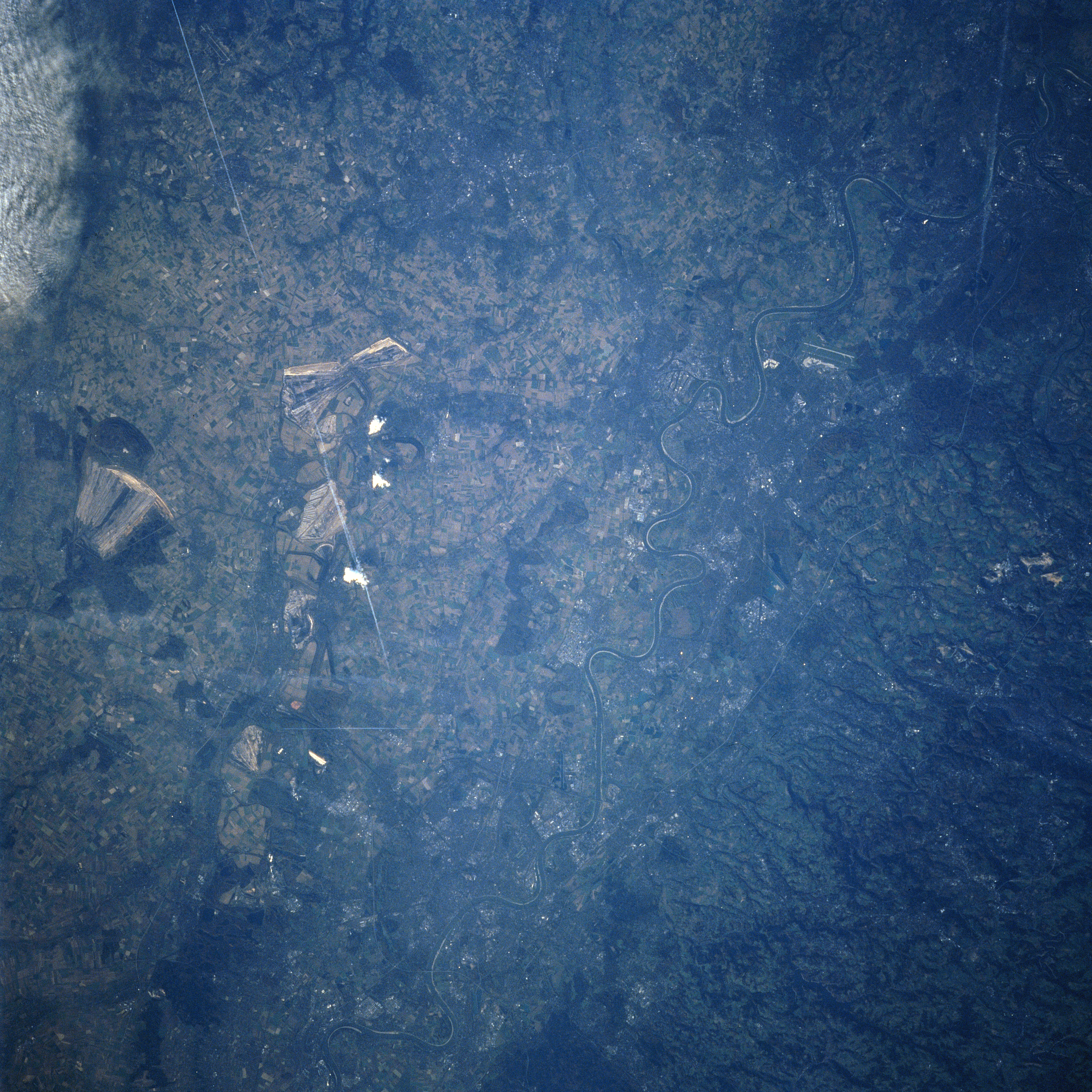
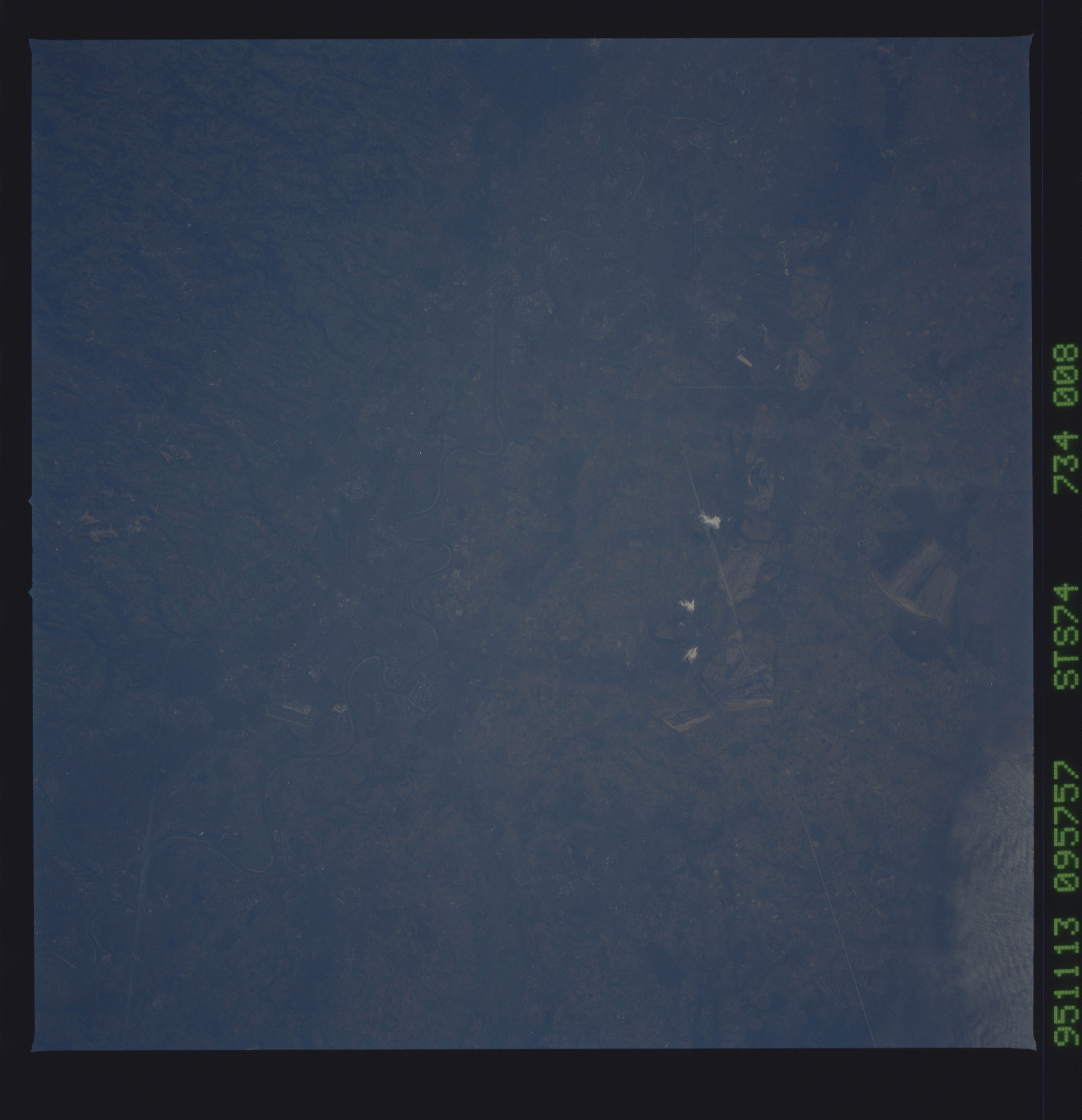
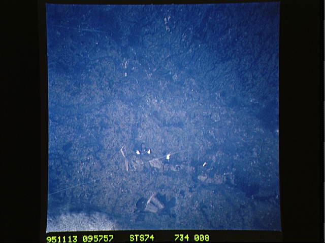
Image Caption: STS074-734-008 Rhine River Valley, Germany November, 1995
The meandering Rhine River, carrying more traffic than any other waterway in the world, can be seen traversing the scene from lower left (south) to the upper right corner (north) of the image. The Rhine River is one of the principal rivers of Europe and is 820 miles (1320 km) long. Passing through Cologne (Koln) near the bottom center of the image and Dusseldorf (just right of the center), the Rhine flows across the North German plain as a broad, slow flowing river on a bed of ancient deltaic deposits left by ancestors of the modern river. Both Cologne and Dusseldorf are major industrial, financial, and commercial cities. The cities are also busy river ports and important transportation hubs. Brown coal strip mines ground scars are visible to the west (left) of the river. A jet contrail (straight white line) is discernible extending from the upper left toward the center of the image.
The meandering Rhine River, carrying more traffic than any other waterway in the world, can be seen traversing the scene from lower left (south) to the upper right corner (north) of the image. The Rhine River is one of the principal rivers of Europe and is 820 miles (1320 km) long. Passing through Cologne (Koln) near the bottom center of the image and Dusseldorf (just right of the center), the Rhine flows across the North German plain as a broad, slow flowing river on a bed of ancient deltaic deposits left by ancestors of the modern river. Both Cologne and Dusseldorf are major industrial, financial, and commercial cities. The cities are also busy river ports and important transportation hubs. Brown coal strip mines ground scars are visible to the west (left) of the river. A jet contrail (straight white line) is discernible extending from the upper left toward the center of the image.
