STS074-711-17
| NASA Photo ID | STS074-711-17 |
| Focal Length | 250mm |
| Date taken | 1995.11.14 |
| Time taken | 21:18:02 GMT |
Resolutions offered for this image:
3904 x 3904 pixels 639 x 639 pixels 5700 x 5900 pixels 500 x 518 pixels 640 x 480 pixels 3936 x 3904 pixels
3904 x 3904 pixels 639 x 639 pixels 5700 x 5900 pixels 500 x 518 pixels 640 x 480 pixels 3936 x 3904 pixels

Cloud masks available for this image:
Spacecraft nadir point: 41.4° N, 114.0° W
Photo center point: 41.5° N, 113.0° W
Photo center point by machine learning:
Photo center point: 41.5° N, 113.0° W
Photo center point by machine learning:
Nadir to Photo Center: East
Spacecraft Altitude: 210 nautical miles (389km)
Country or Geographic Name: | USA-UTAH |
Features: | DESERT, GREAT SALT LAKE |
| Features Found Using Machine Learning: | |
Cloud Cover Percentage: | 5 (1-10)% |
Sun Elevation Angle: | 25° |
Sun Azimuth: | 211° |
Camera: | Hasselblad |
Focal Length: | 250mm |
Camera Tilt: | 16 degrees |
Format: | 5046: Kodak, natural color positive, Lumiere 100/5046, ASA 100, standard base |
Film Exposure: | Normal |
| Additional Information | |
| Width | Height | Annotated | Cropped | Purpose | Links |
|---|---|---|---|---|---|
| 3904 pixels | 3904 pixels | No | No | Earth From Space collection | Download Image |
| 639 pixels | 639 pixels | No | No | Earth From Space collection | Download Image |
| 5700 pixels | 5900 pixels | No | No | Download Image | |
| 500 pixels | 518 pixels | No | No | Download Image | |
| 640 pixels | 480 pixels | No | No | Download Image | |
| 3936 pixels | 3904 pixels | Download Image |
Download Packaged File
Download a Google Earth KML for this Image
View photo footprint information
Download a GeoTIFF for this photo
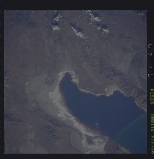
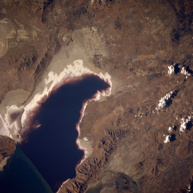
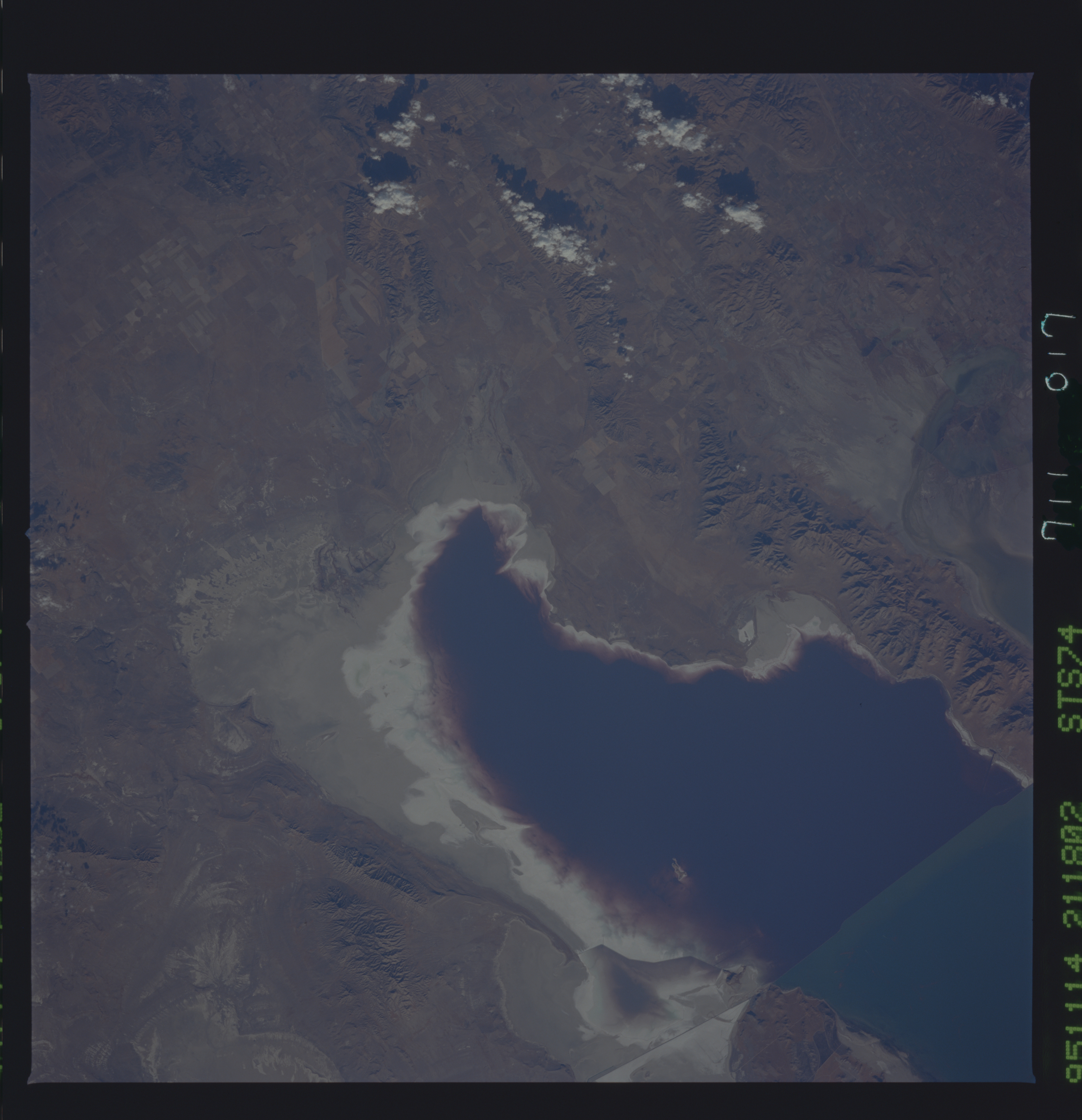
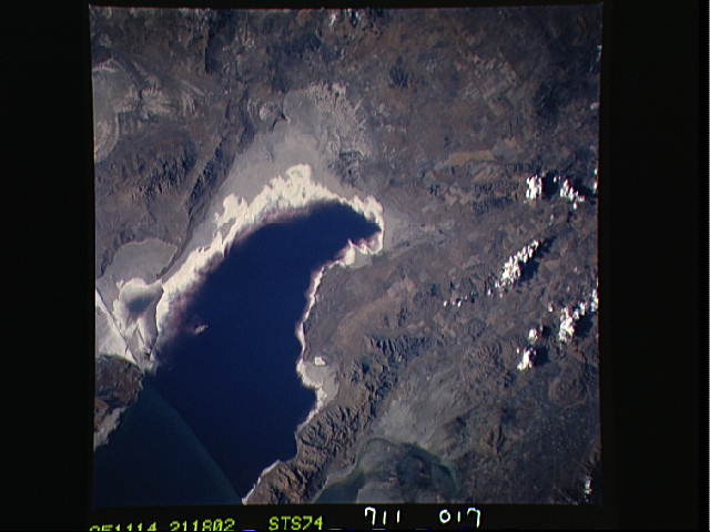
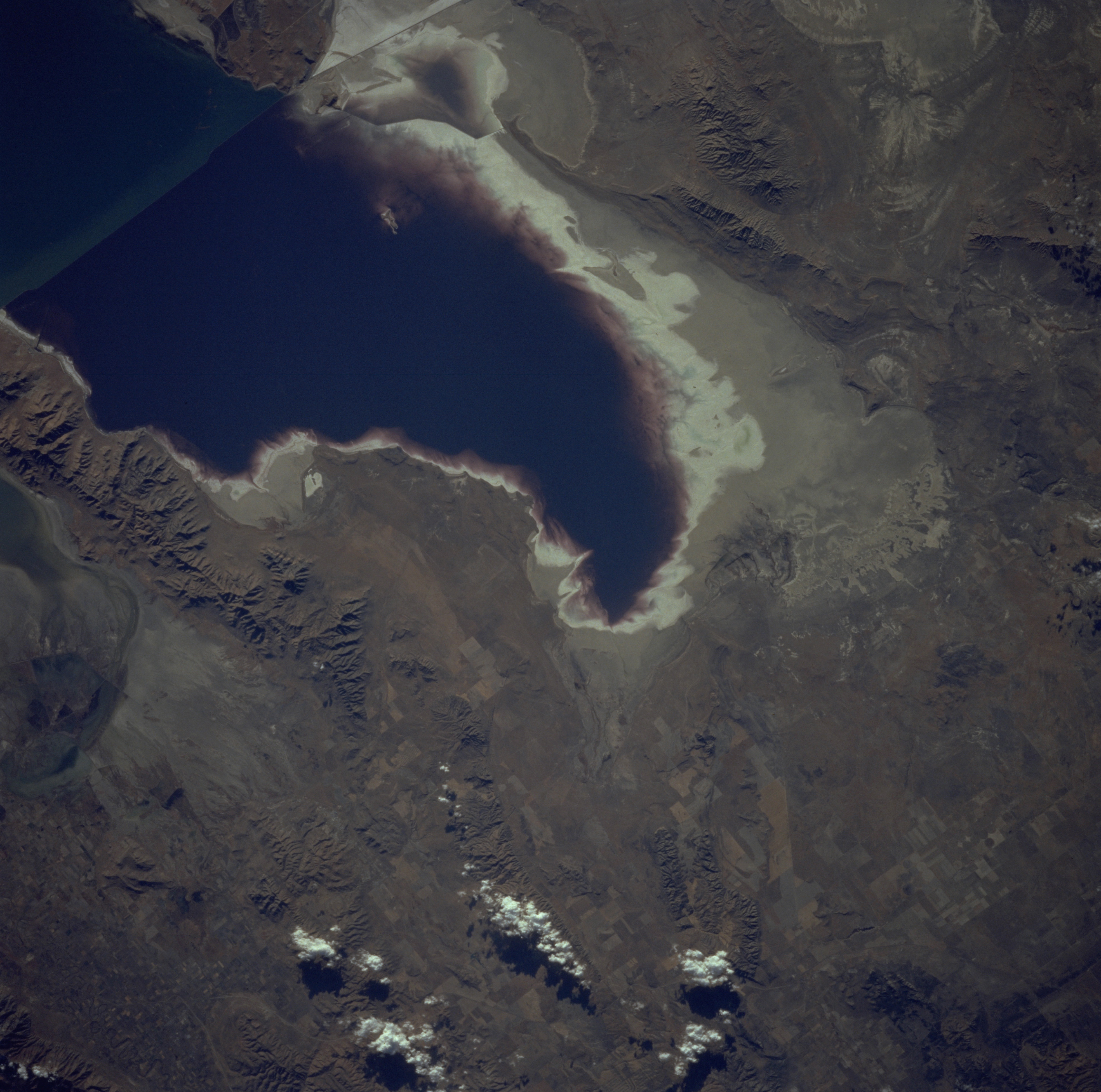
Image Caption: STS074-711-017 Great Salt Lake, Spring Bay, and Promontory Mountains, Utah, U.S.A. November 1995
Northern Great Salt Lake and Spring Bay (far northern portion of the lake) are discernible in this south-southeast-looking, low-oblique photograph. The light shoreline surrounding the bay and the lake was submerged from the mid-1980s through the early 1990s because of above-normal precipitation during the 1980s. The lake level is subject to seasonal and yearly variations depending on climatic patterns. East of the lake are the north-south-trending Promontory Mountains, near the base of which is Golden Spike National Historic Site (not discernible), where the Continental Railroad was completed in May 1869.
Northern Great Salt Lake and Spring Bay (far northern portion of the lake) are discernible in this south-southeast-looking, low-oblique photograph. The light shoreline surrounding the bay and the lake was submerged from the mid-1980s through the early 1990s because of above-normal precipitation during the 1980s. The lake level is subject to seasonal and yearly variations depending on climatic patterns. East of the lake are the north-south-trending Promontory Mountains, near the base of which is Golden Spike National Historic Site (not discernible), where the Continental Railroad was completed in May 1869.
