STS073-744-124
| NASA Photo ID | STS073-744-124 |
| Focal Length | 250mm |
| Date taken | 1995.10.28 |
| Time taken | 16:45:39 GMT |
Resolutions offered for this image:
3936 x 3904 pixels 639 x 634 pixels 5700 x 5900 pixels 500 x 518 pixels 640 x 480 pixels
3936 x 3904 pixels 639 x 634 pixels 5700 x 5900 pixels 500 x 518 pixels 640 x 480 pixels

Cloud masks available for this image:
Spacecraft nadir point: 33.3° N, 100.8° W
Photo center point: 33.5° N, 102.0° W
Photo center point by machine learning:
Photo center point: 33.5° N, 102.0° W
Photo center point by machine learning:
Nadir to Photo Center: West
Spacecraft Altitude: 143 nautical miles (265km)
Country or Geographic Name: | USA-TEXAS |
Features: | LUBBOCK, AGRICULTURE, LAKES |
| Features Found Using Machine Learning: | |
Cloud Cover Percentage: | 0 (no clouds present) |
Sun Elevation Angle: | 38° |
Sun Azimuth: | 148° |
Camera: | Hasselblad |
Focal Length: | 250mm |
Camera Tilt: | 27 degrees |
Format: | 2443: Kodak Aerochrome 2443, color IR, thin base, EA-5 process thru June 1999, E-6 process afterward |
Film Exposure: | Normal |
| Additional Information | |
| Width | Height | Annotated | Cropped | Purpose | Links |
|---|---|---|---|---|---|
| 3936 pixels | 3904 pixels | No | No | Earth From Space collection | Download Image |
| 639 pixels | 634 pixels | No | No | Earth From Space collection | Download Image |
| 5700 pixels | 5900 pixels | No | No | Download Image | |
| 500 pixels | 518 pixels | No | No | Download Image | |
| 640 pixels | 480 pixels | No | No | Download Image |
Download Packaged File
Download a Google Earth KML for this Image
View photo footprint information
Download a GeoTIFF for this photo
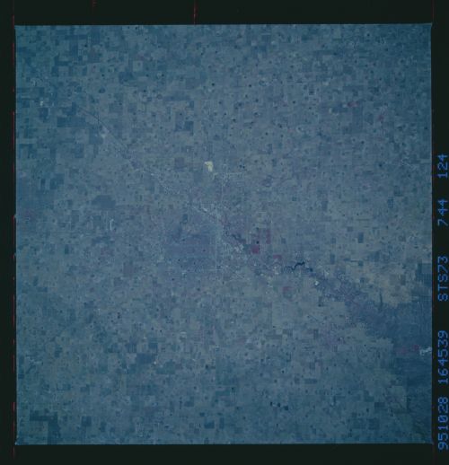
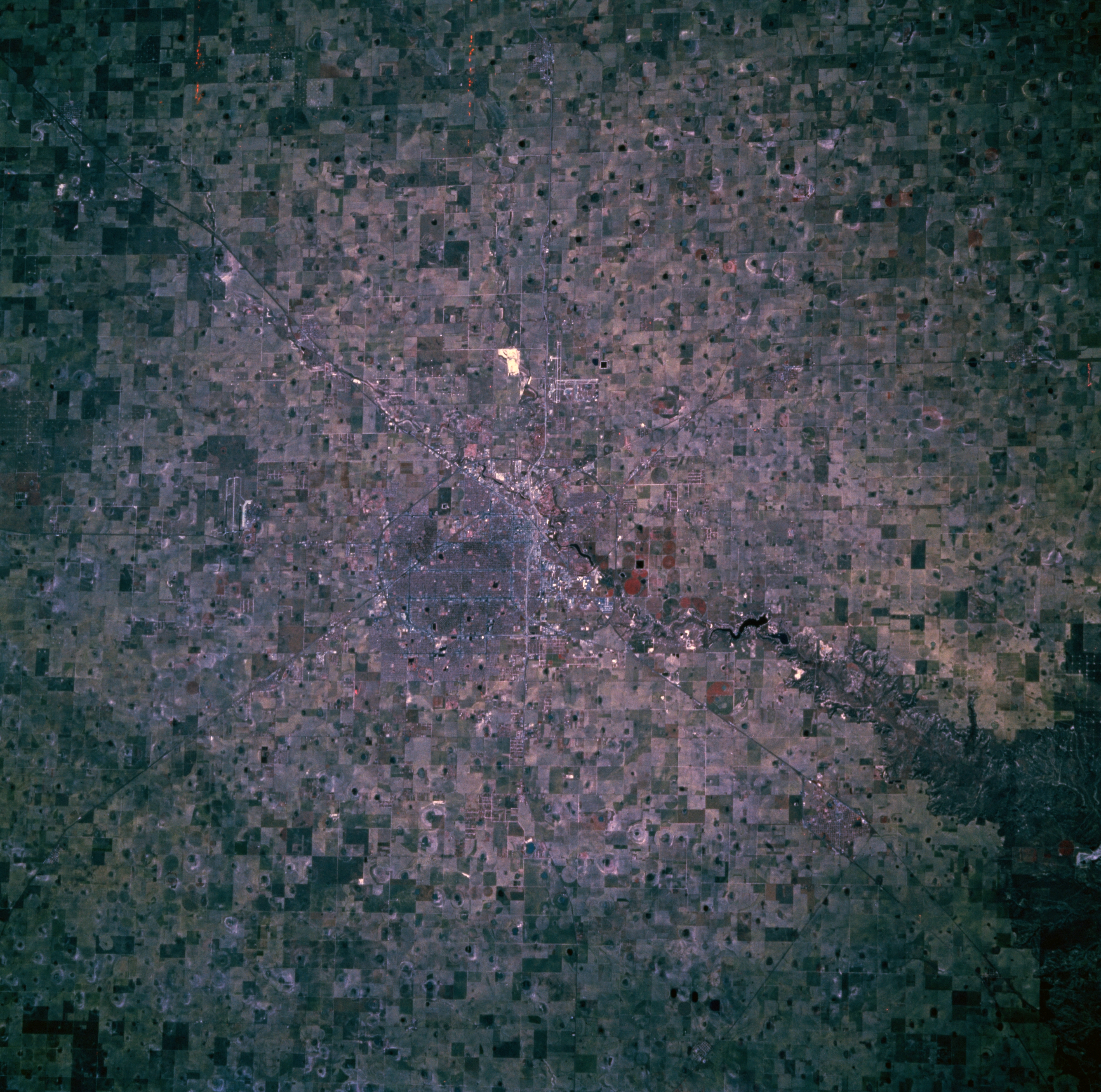
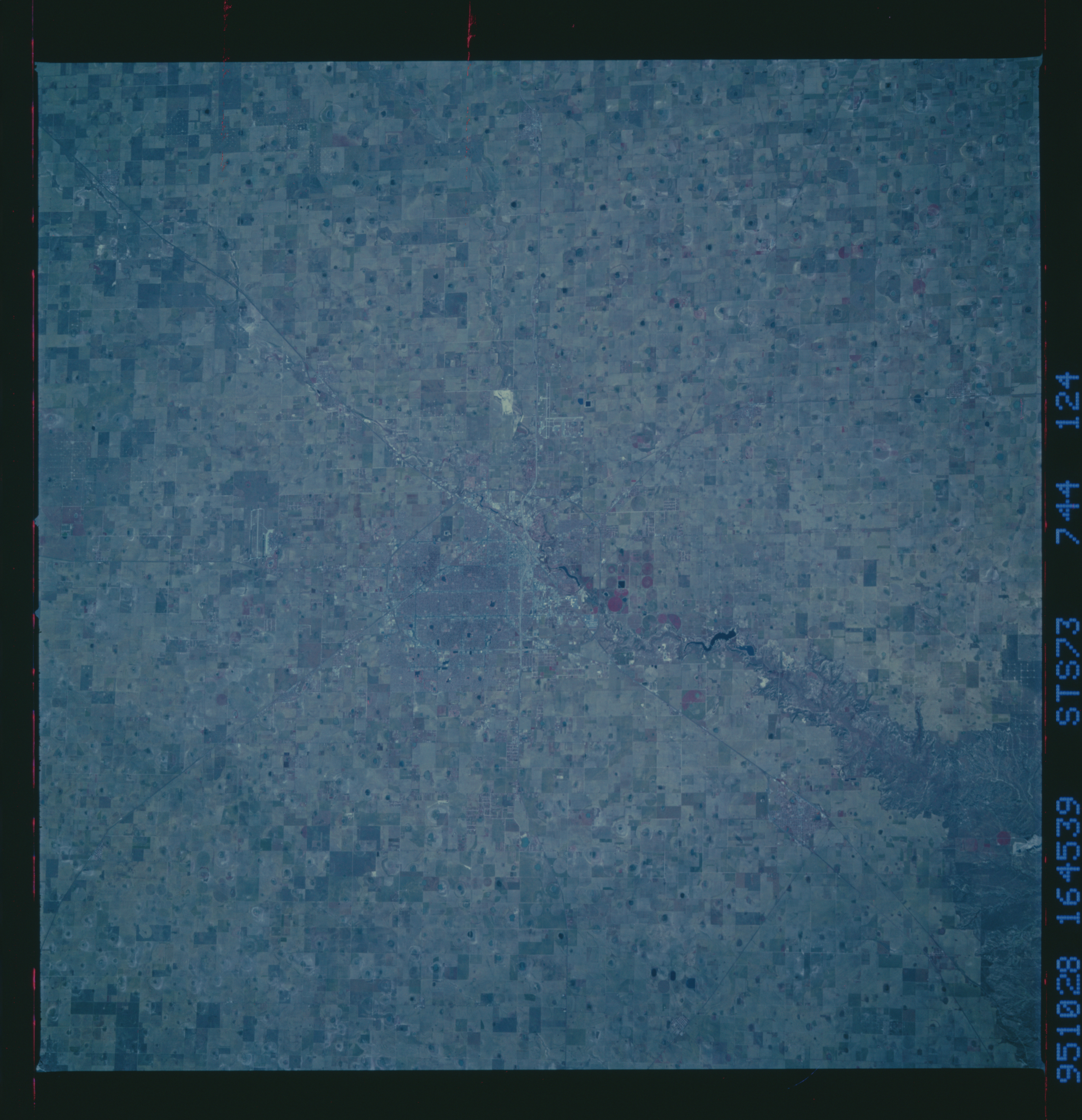
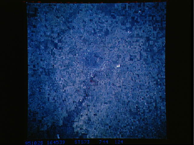
Image Caption: STS073-744-124 Lubbock, Texas, U.S.A. October 1995
This near-vertical, color infrared photograph shows the high plains of the Texas panhandle and Lubbock, a trade center for the surrounding cotton and grain growing region. Barely discernible are runways of Lubbock International Airport to the north and Reese Air Force Base to the west. The high plains of Texas are extremely flat except for some undulations due to generally east-flowing streams. A unique feature of the region is the large number of surface ponds--water fills these nonvegetated, round, flat areas after rainstorms; the water then evaporates or sinks into the ground to recharge the underlying Ogallala Aquifer.
This near-vertical, color infrared photograph shows the high plains of the Texas panhandle and Lubbock, a trade center for the surrounding cotton and grain growing region. Barely discernible are runways of Lubbock International Airport to the north and Reese Air Force Base to the west. The high plains of Texas are extremely flat except for some undulations due to generally east-flowing streams. A unique feature of the region is the large number of surface ponds--water fills these nonvegetated, round, flat areas after rainstorms; the water then evaporates or sinks into the ground to recharge the underlying Ogallala Aquifer.
