STS073-725-44
| NASA Photo ID | STS073-725-44 |
| Focal Length | 250mm |
| Date taken | 1995.10.24 |
| Time taken | 16:54:36 GMT |
Resolutions offered for this image:
3936 x 3936 pixels 639 x 639 pixels 5700 x 5900 pixels 500 x 518 pixels 640 x 480 pixels
3936 x 3936 pixels 639 x 639 pixels 5700 x 5900 pixels 500 x 518 pixels 640 x 480 pixels

Cloud masks available for this image:
Spacecraft nadir point: 39.1° N, 111.0° W
Photo center point: 40.0° N, 111.5° W
Photo center point by machine learning:
Photo center point: 40.0° N, 111.5° W
Photo center point by machine learning:
Nadir to Photo Center: Northwest
Spacecraft Altitude: 144 nautical miles (267km)
Country or Geographic Name: | USA-UTAH |
Features: | UTAH LAKE, UINTA MTS. |
| Features Found Using Machine Learning: | |
Cloud Cover Percentage: | 0 (no clouds present) |
Sun Elevation Angle: | 30° |
Sun Azimuth: | 141° |
Camera: | Hasselblad |
Focal Length: | 250mm |
Camera Tilt: | 23 degrees |
Format: | 5046: Kodak, natural color positive, Lumiere 100/5046, ASA 100, standard base |
Film Exposure: | Normal |
| Additional Information | |
| Width | Height | Annotated | Cropped | Purpose | Links |
|---|---|---|---|---|---|
| 3936 pixels | 3936 pixels | No | No | Earth From Space collection | Download Image |
| 639 pixels | 639 pixels | No | No | Earth From Space collection | Download Image |
| 5700 pixels | 5900 pixels | No | No | Download Image | |
| 500 pixels | 518 pixels | No | No | Download Image | |
| 640 pixels | 480 pixels | No | No | Download Image |
Download Packaged File
Download a Google Earth KML for this Image
View photo footprint information
Download a GeoTIFF for this photo
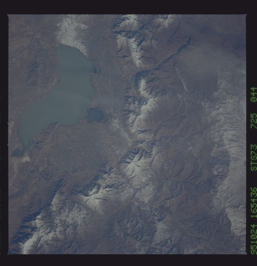
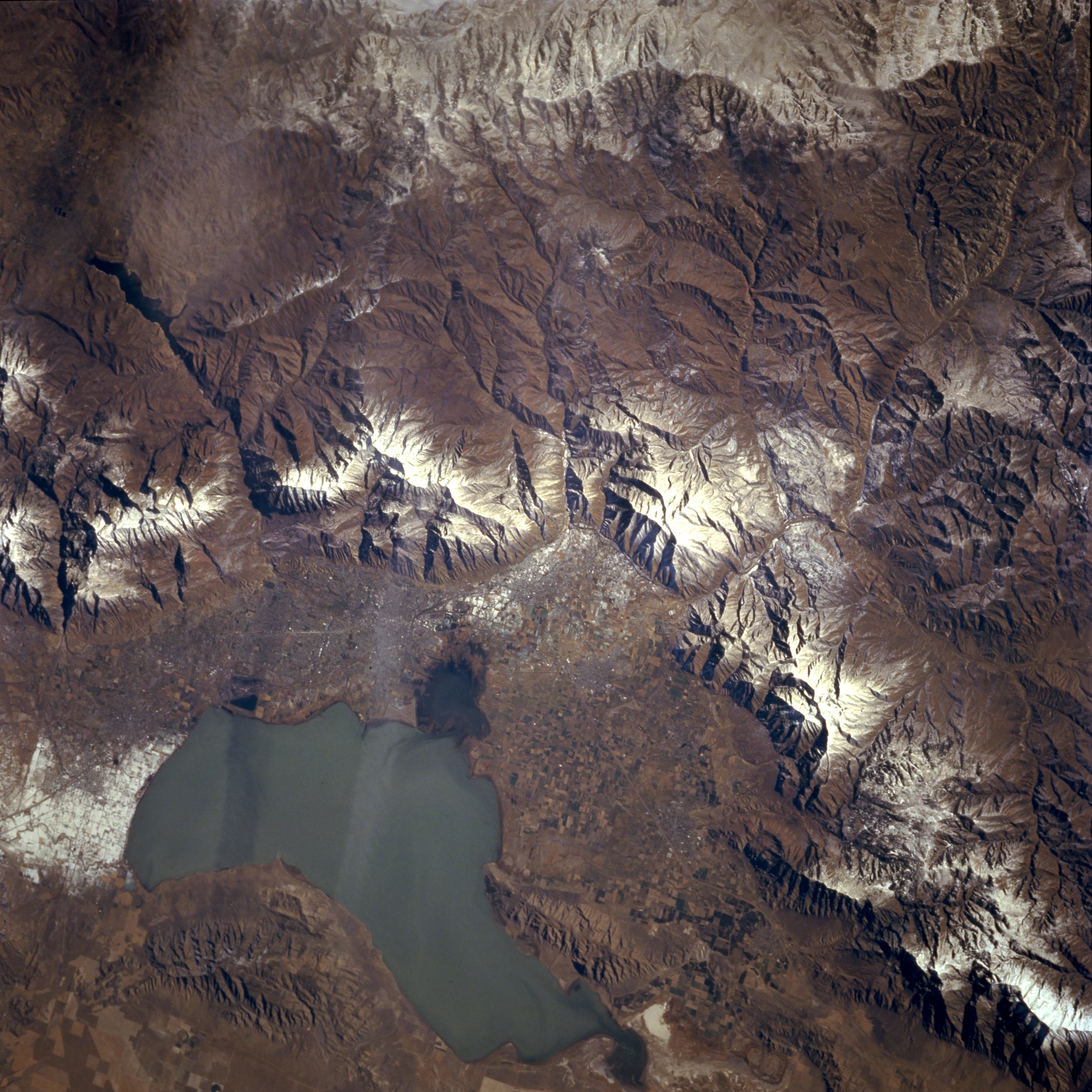
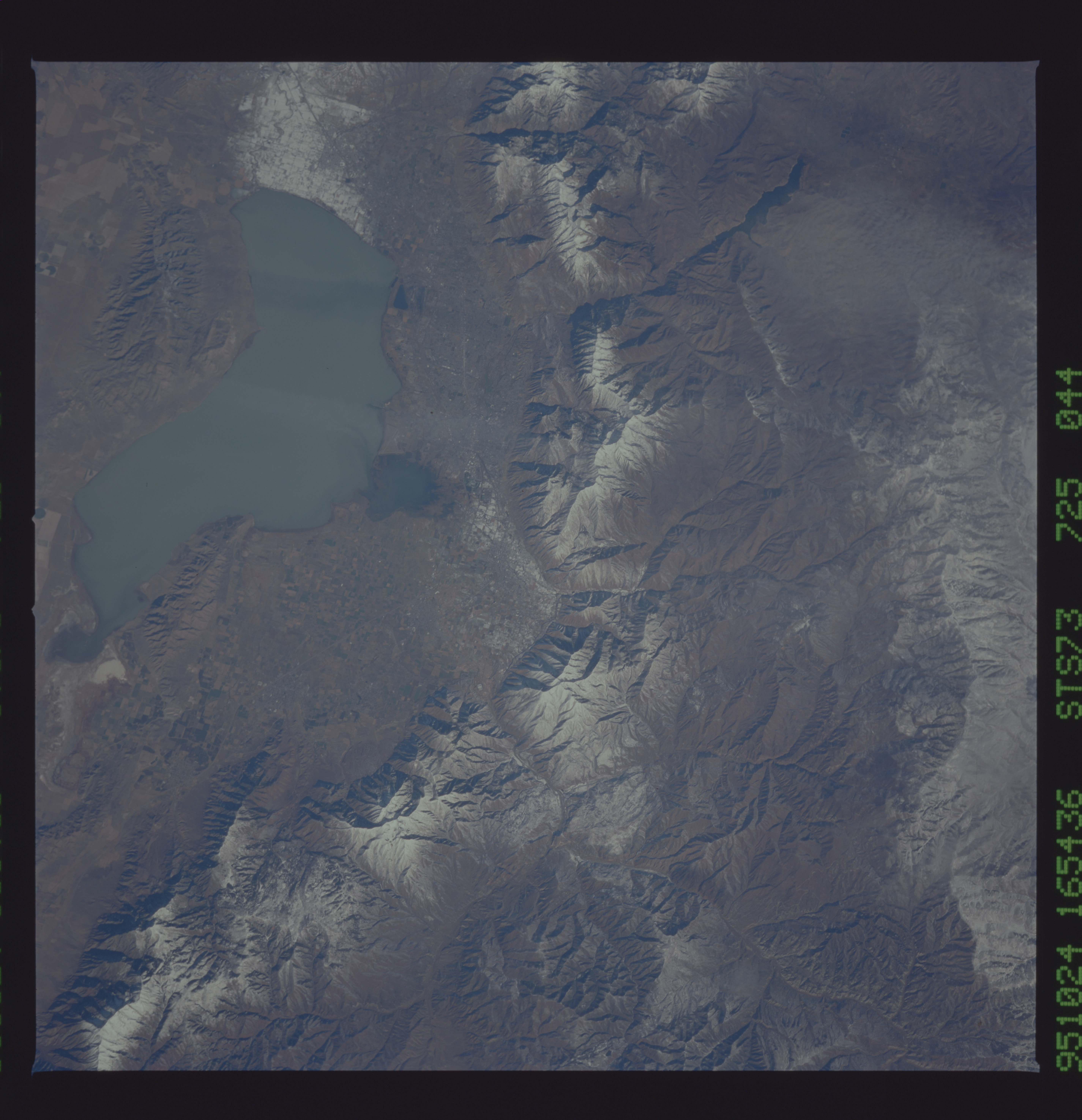
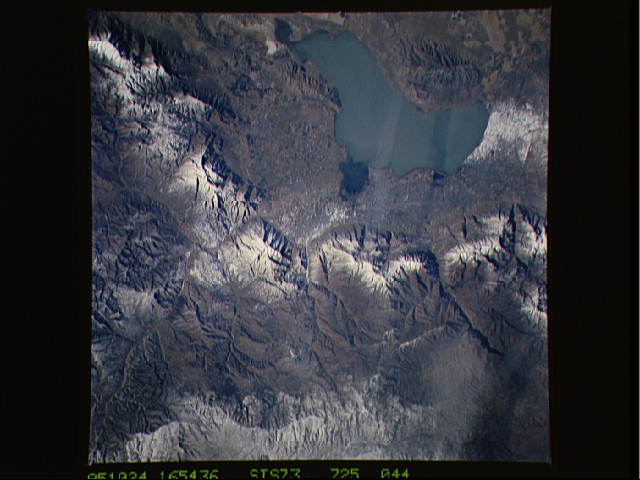
Image Caption: STS073-725-044 Utah Lake and Wasatch Range, Utah, U.S.A. September 1995
Utah Lake, the largest freshwater lake in Utah, is visible in this east-looking, low-oblique photograph. The lake, 23 miles (37 kilometers) long and 8 miles (13 kilometers) wide, covers 145 square miles (375 square kilometers). Utah Lake is drained at its north end by the Jordan River, which flows northward into the Great Salt Lake. South of the rugged, snow-covered peaks of the Wasatch Range and 3 miles (5 kilometers) east of Utah Lake lies Provo, a commercial and industrial city that manufactures steel and steel products, cast iron, and electronic components. The city is barely discernible because of a wispy cloud and light snow cover on the ground. Provo is also a tourist center, especially during the winter months, because of many ski resorts located in the nearby Wasatch Range.
Utah Lake, the largest freshwater lake in Utah, is visible in this east-looking, low-oblique photograph. The lake, 23 miles (37 kilometers) long and 8 miles (13 kilometers) wide, covers 145 square miles (375 square kilometers). Utah Lake is drained at its north end by the Jordan River, which flows northward into the Great Salt Lake. South of the rugged, snow-covered peaks of the Wasatch Range and 3 miles (5 kilometers) east of Utah Lake lies Provo, a commercial and industrial city that manufactures steel and steel products, cast iron, and electronic components. The city is barely discernible because of a wispy cloud and light snow cover on the ground. Provo is also a tourist center, especially during the winter months, because of many ski resorts located in the nearby Wasatch Range.
