STS073-725-22
| NASA Photo ID | STS073-725-22 |
| Focal Length | 250mm |
| Date taken | 1995.10.24 |
| Time taken | 15:23:54 GMT |
Resolutions offered for this image:
3872 x 3913 pixels 633 x 639 pixels 5700 x 5900 pixels 500 x 518 pixels 640 x 480 pixels
3872 x 3913 pixels 633 x 639 pixels 5700 x 5900 pixels 500 x 518 pixels 640 x 480 pixels


Cloud masks available for this image:
Spacecraft nadir point: 38.9° N, 92.6° W
Photo center point: 39.0° N, 94.5° W
Photo center point by machine learning:
Photo center point: 39.0° N, 94.5° W
Photo center point by machine learning:
Nadir to Photo Center: West
Spacecraft Altitude: 144 nautical miles (267km)
Country or Geographic Name: | USA-KANSAS |
Features: | MISSOURI R., KANSAS CITY |
| Features Found Using Machine Learning: | |
Cloud Cover Percentage: | 5 (1-10)% |
Sun Elevation Angle: | 28° |
Sun Azimuth: | 137° |
Camera: | Hasselblad |
Focal Length: | 250mm |
Camera Tilt: | 38 degrees |
Format: | 5046: Kodak, natural color positive, Lumiere 100/5046, ASA 100, standard base |
Film Exposure: | Normal |
| Additional Information | |
| Width | Height | Annotated | Cropped | Purpose | Links |
|---|---|---|---|---|---|
| 3872 pixels | 3913 pixels | No | No | Earth From Space collection | Download Image |
| 633 pixels | 639 pixels | No | No | Earth From Space collection | Download Image |
| 5700 pixels | 5900 pixels | No | No | Download Image | |
| 500 pixels | 518 pixels | No | No | Download Image | |
| 640 pixels | 480 pixels | No | No | Download Image |
Download Packaged File
Download a Google Earth KML for this Image
View photo footprint information
Download a GeoTIFF for this photo
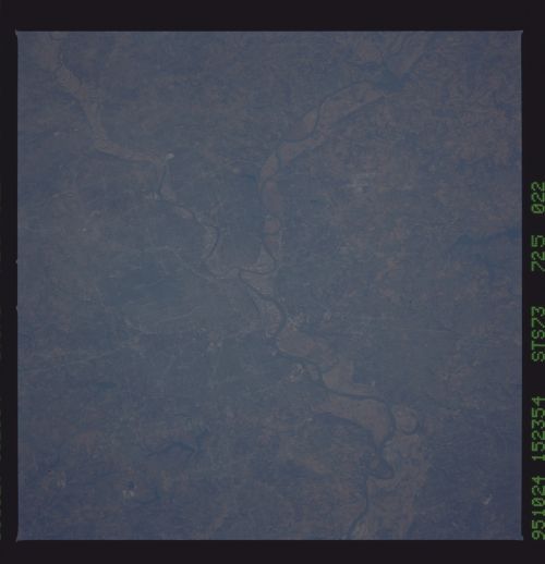
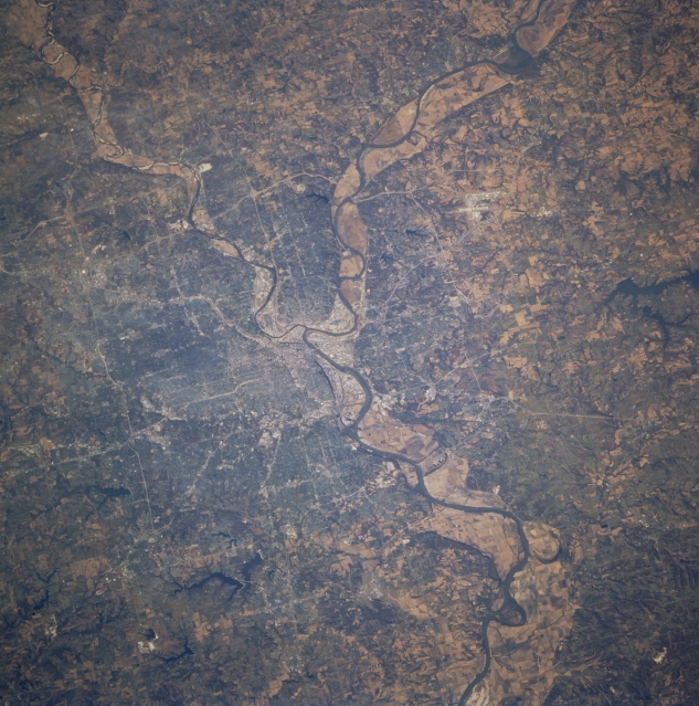
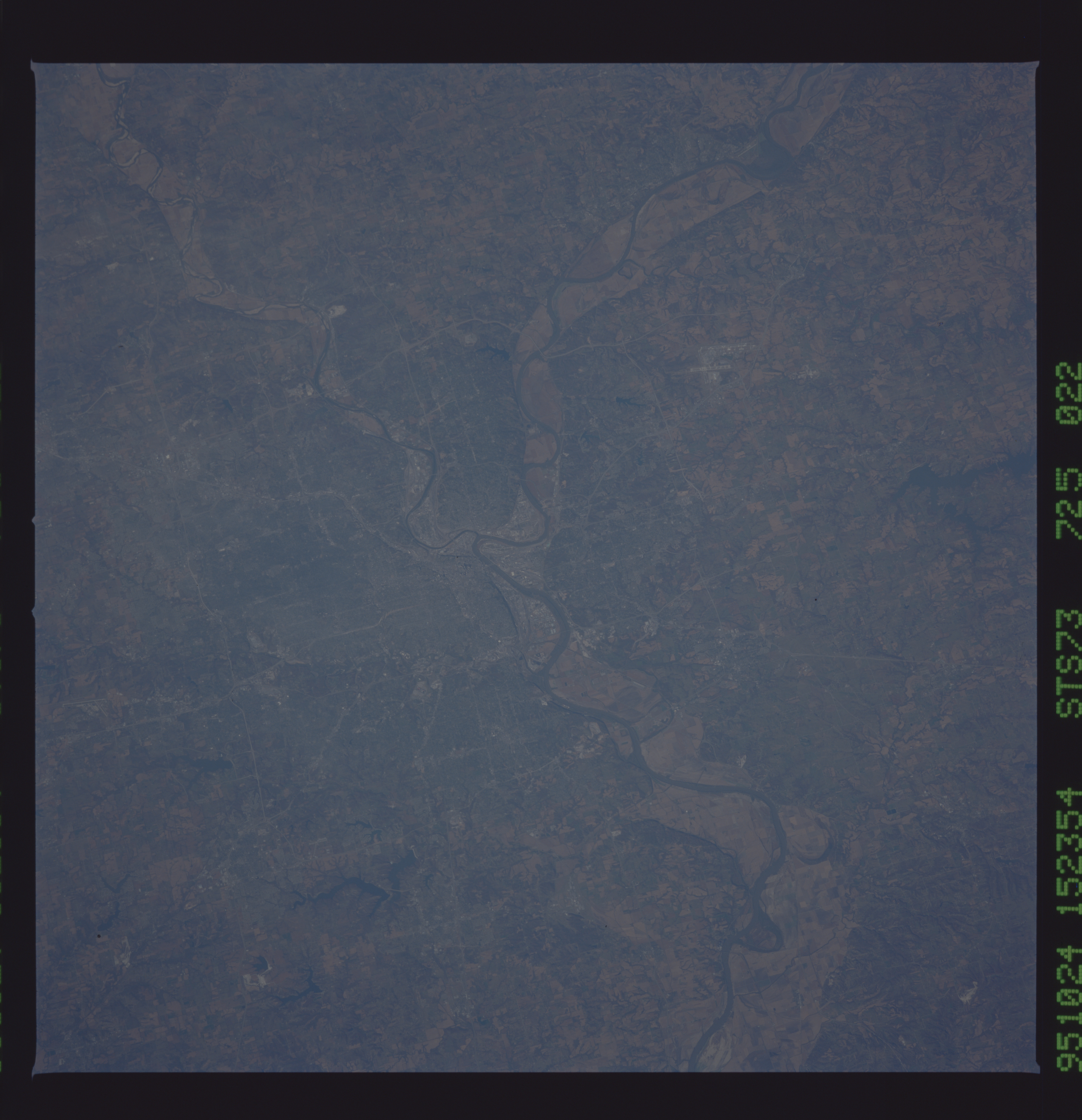
Image Caption: STS073-725-022 Kansas City, Missouri, U.S.A. October 1995
This west-looking, low-oblique photograph features the Missouri and Kansas Rivers and Kansas City, a major commercial, industrial, and transportation center in a rich grain and livestock producing region. The Missouri River from the northwest near Leavenworth, Kansas, and the Kansas River from the west near Lawrence, Kansas, join near downtown Kansas City. Apparent north of Kansas City are the runways of the Kansas City International Airport; northeast of the airport is Smithville Reservoir. Recovery from the floods of 1993 in the floodplains of both the Missouri and Kansas Rivers is evidenced by agricultural field patterns.
This west-looking, low-oblique photograph features the Missouri and Kansas Rivers and Kansas City, a major commercial, industrial, and transportation center in a rich grain and livestock producing region. The Missouri River from the northwest near Leavenworth, Kansas, and the Kansas River from the west near Lawrence, Kansas, join near downtown Kansas City. Apparent north of Kansas City are the runways of the Kansas City International Airport; northeast of the airport is Smithville Reservoir. Recovery from the floods of 1993 in the floodplains of both the Missouri and Kansas Rivers is evidenced by agricultural field patterns.
