STS073-712-91
| NASA Photo ID | STS073-712-91 |
| Focal Length | 250mm |
| Date taken | 1995.10.23 |
| Time taken | 15:21:15 GMT |
Resolutions offered for this image:
3907 x 3936 pixels 635 x 639 pixels 5700 x 5900 pixels 500 x 518 pixels 640 x 480 pixels
3907 x 3936 pixels 635 x 639 pixels 5700 x 5900 pixels 500 x 518 pixels 640 x 480 pixels


Cloud masks available for this image:
Spacecraft nadir point: 32.8° N, 114.6° W
Photo center point: 33.0° N, 115.0° W
Photo center point by machine learning:
Photo center point: 33.0° N, 115.0° W
Photo center point by machine learning:
Nadir to Photo Center: Northwest
Spacecraft Altitude: 145 nautical miles (269km)
Country or Geographic Name: | USA-CALIFORNIA |
Features: | SAND DEPOSIT, AGR., ROADS |
| Features Found Using Machine Learning: | |
Cloud Cover Percentage: | 0 (no clouds present) |
Sun Elevation Angle: | 18° |
Sun Azimuth: | 117° |
Camera: | Hasselblad |
Focal Length: | 250mm |
Camera Tilt: | 10 degrees |
Format: | 5046: Kodak, natural color positive, Lumiere 100/5046, ASA 100, standard base |
Film Exposure: | Normal |
| Additional Information | |
| Width | Height | Annotated | Cropped | Purpose | Links |
|---|---|---|---|---|---|
| 3907 pixels | 3936 pixels | No | No | Earth From Space collection | Download Image |
| 635 pixels | 639 pixels | No | No | Earth From Space collection | Download Image |
| 5700 pixels | 5900 pixels | No | No | Download Image | |
| 500 pixels | 518 pixels | No | No | Download Image | |
| 640 pixels | 480 pixels | No | No | Download Image |
Download Packaged File
Download a Google Earth KML for this Image
View photo footprint information
Download a GeoTIFF for this photo
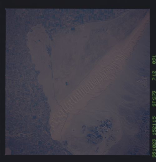
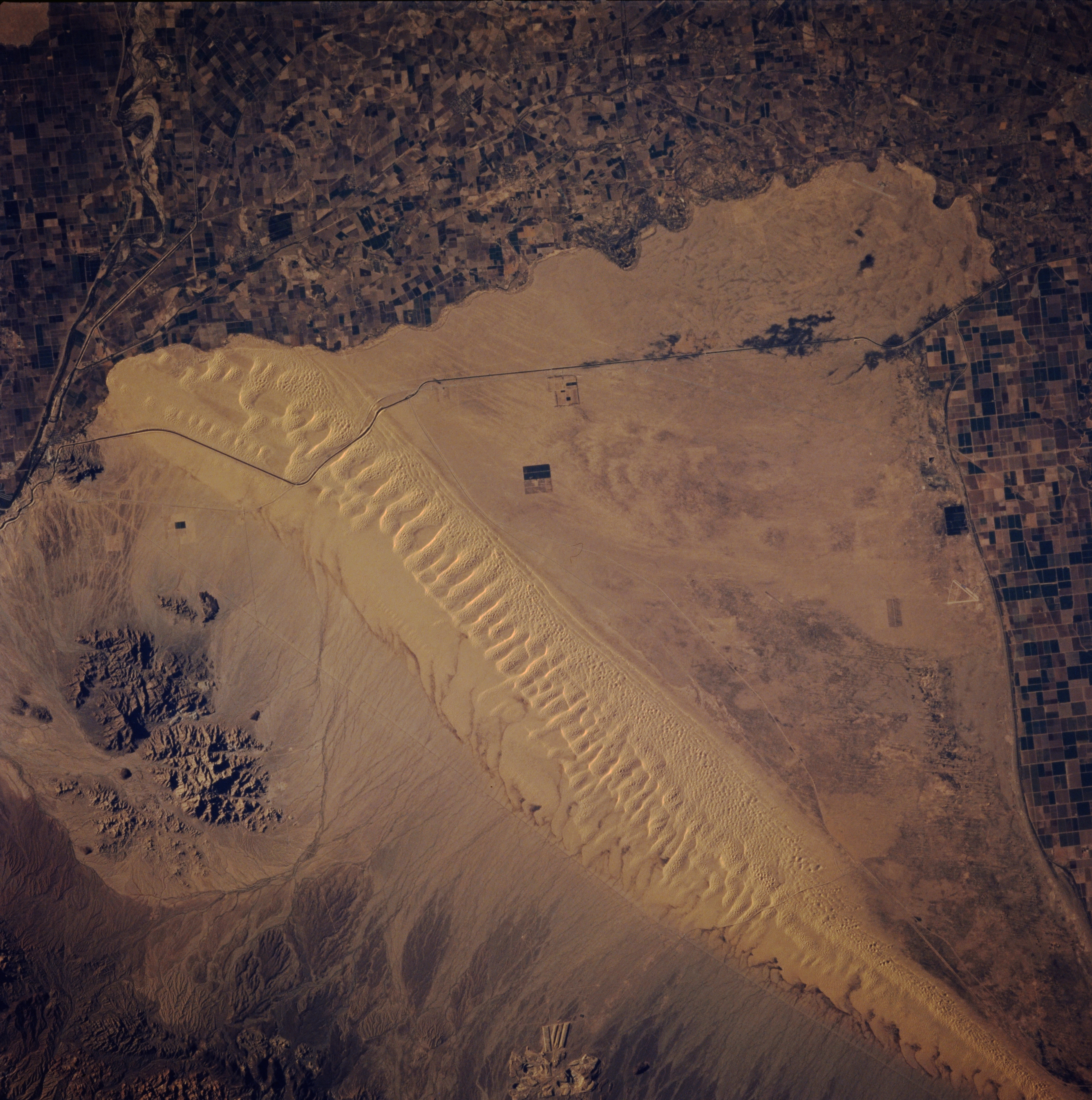
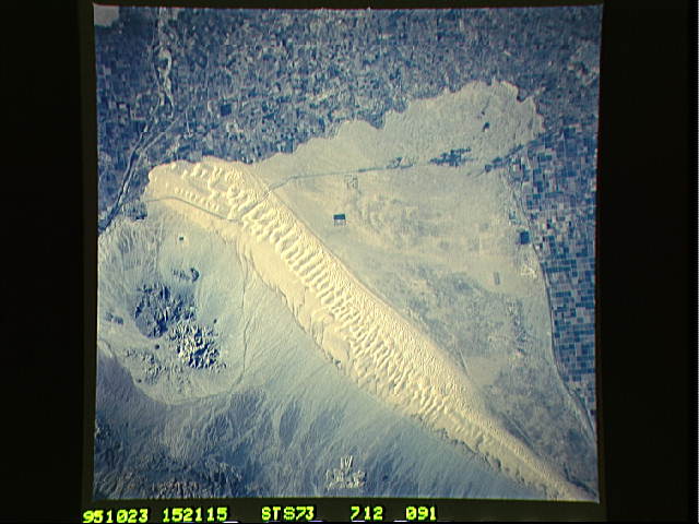
Image Caption: STS073-712-091 Sand Hills, Southern California, U.S.A. October 1995
Almost the entire 35-mile (56-kilometer) length of the northwest-southwest-trending Sand Hills is visible in this near-vertical photograph. The rocky outcrops east of the sand dunes are part of the Chocolate Mountains. The dark, east-west-aligned feature is the All American Canal, which, along with connecting canals, carries water for irrigation into the Imperial Valley of southern California. A small section of the Colorado River and cultivated field patterns in both the United States and Mexico is discernible.
Almost the entire 35-mile (56-kilometer) length of the northwest-southwest-trending Sand Hills is visible in this near-vertical photograph. The rocky outcrops east of the sand dunes are part of the Chocolate Mountains. The dark, east-west-aligned feature is the All American Canal, which, along with connecting canals, carries water for irrigation into the Imperial Valley of southern California. A small section of the Colorado River and cultivated field patterns in both the United States and Mexico is discernible.
