STS073-706-9
| NASA Photo ID | STS073-706-9 |
| Focal Length | 250mm |
| Date taken | 1995.10.22 |
| Time taken | 18:40:15 GMT |
Resolutions offered for this image:
3904 x 3904 pixels 639 x 639 pixels 5700 x 5900 pixels 500 x 518 pixels 640 x 480 pixels
3904 x 3904 pixels 639 x 639 pixels 5700 x 5900 pixels 500 x 518 pixels 640 x 480 pixels

Cloud masks available for this image:
Spacecraft nadir point: 31.6° N, 79.0° W
Photo center point: 33.0° N, 79.5° W
Photo center point by machine learning:
Photo center point: 33.0° N, 79.5° W
Photo center point by machine learning:
Nadir to Photo Center: North
Spacecraft Altitude: 146 nautical miles (270km)
Country or Geographic Name: | USA-SOUTH CAROLINA |
Features: | CHARLESTON, BULLS BAY, R. |
| Features Found Using Machine Learning: | |
Cloud Cover Percentage: | 0 (no clouds present) |
Sun Elevation Angle: | 41° |
Sun Azimuth: | 213° |
Camera: | Hasselblad |
Focal Length: | 250mm |
Camera Tilt: | 31 degrees |
Format: | 5046: Kodak, natural color positive, Lumiere 100/5046, ASA 100, standard base |
Film Exposure: | Normal |
| Additional Information | |
| Width | Height | Annotated | Cropped | Purpose | Links |
|---|---|---|---|---|---|
| 3904 pixels | 3904 pixels | No | No | Earth From Space collection | Download Image |
| 639 pixels | 639 pixels | No | No | Earth From Space collection | Download Image |
| 5700 pixels | 5900 pixels | No | No | Download Image | |
| 500 pixels | 518 pixels | No | No | Download Image | |
| 640 pixels | 480 pixels | No | No | Download Image |
Download Packaged File
Download a Google Earth KML for this Image
View photo footprint information
Download a GeoTIFF for this photo
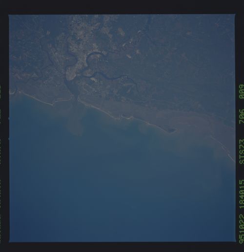
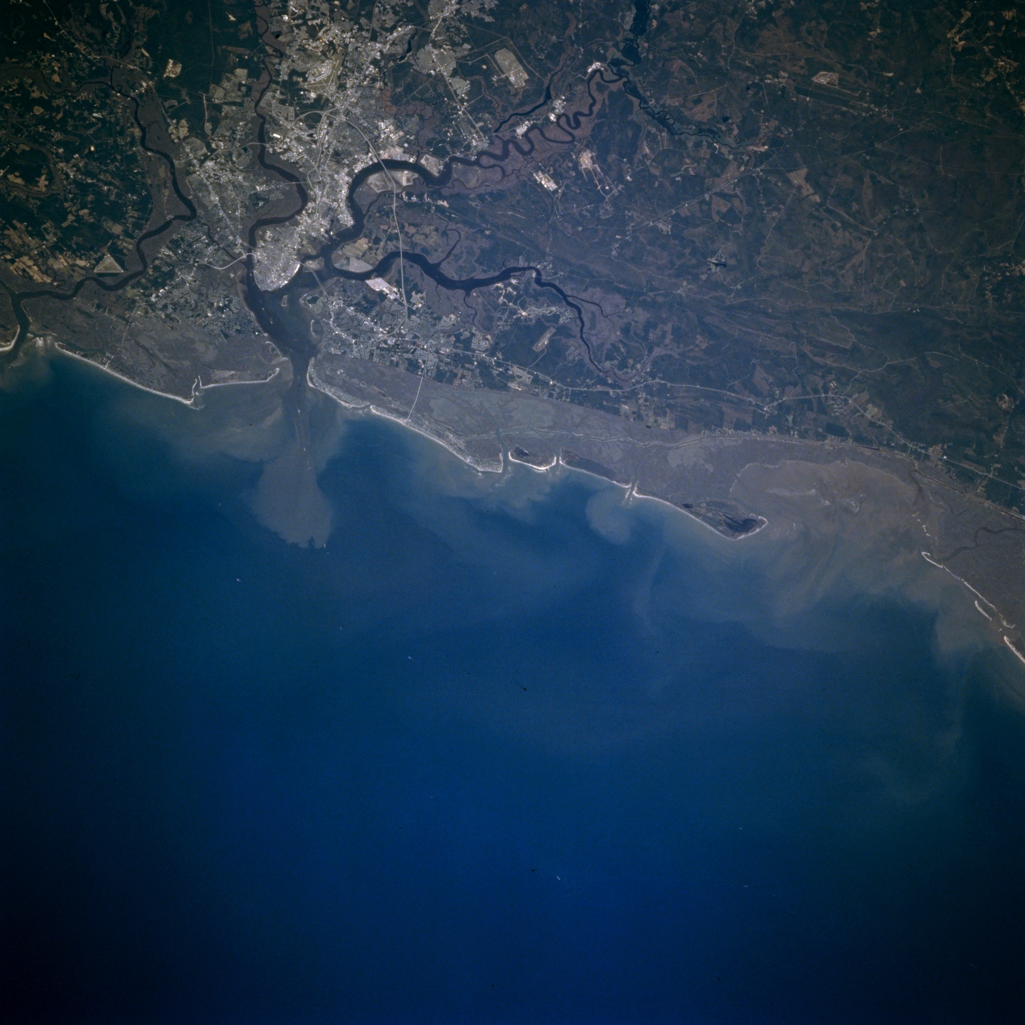
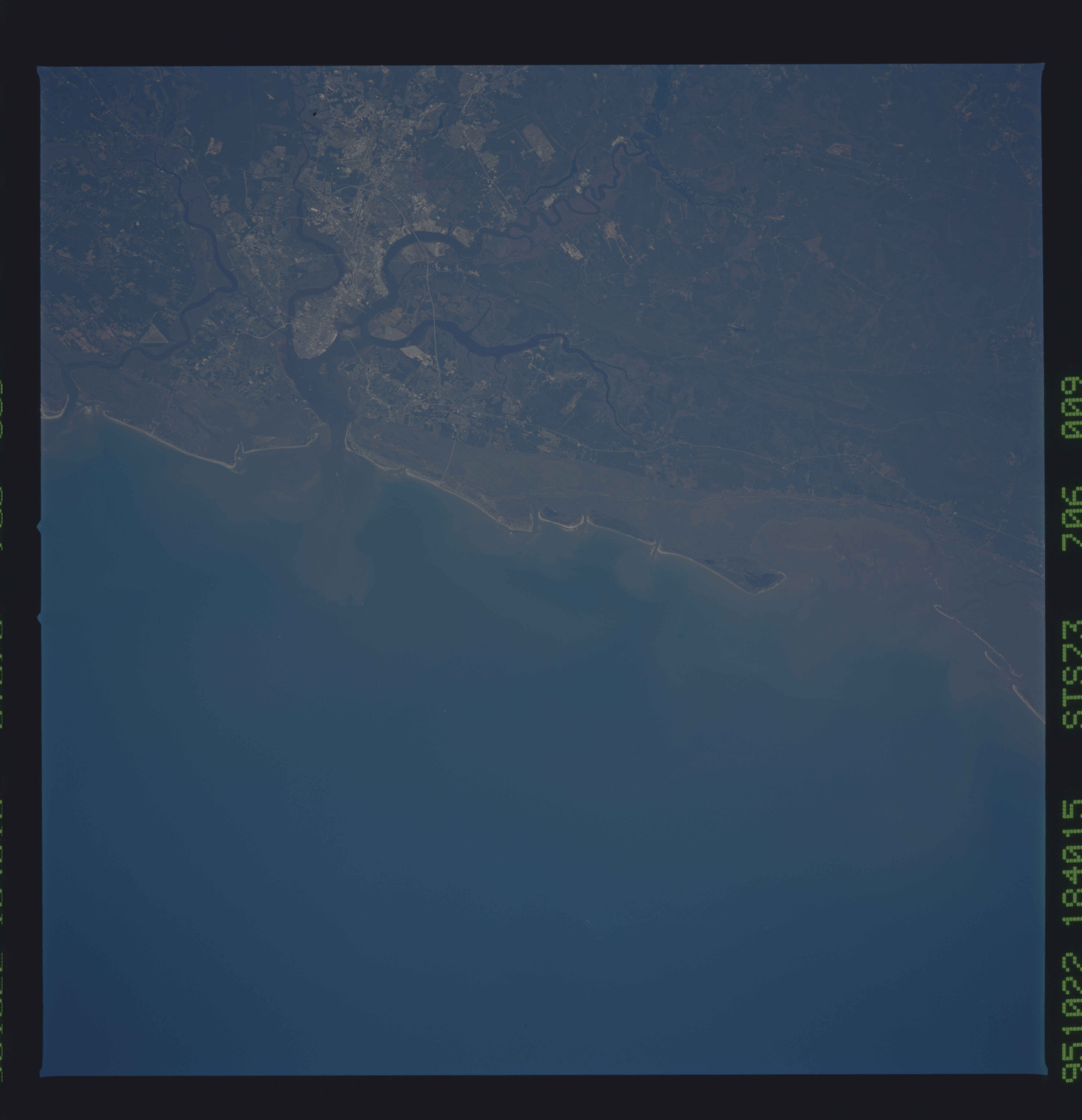
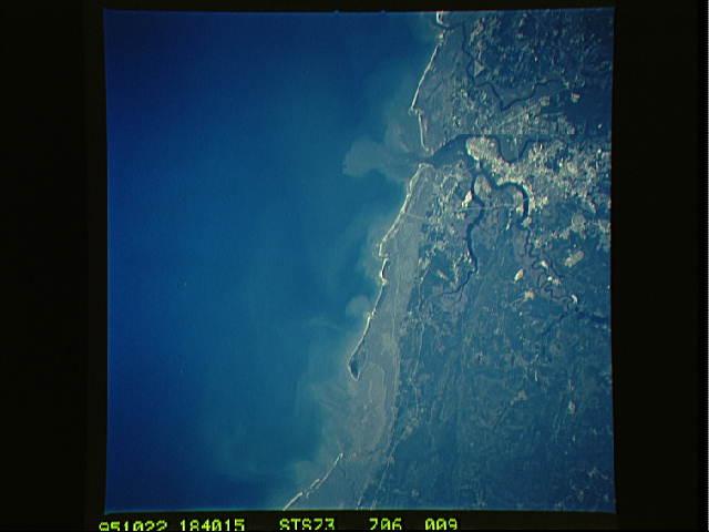
Image Caption: STS073-706-009 Charleston, South Carolina, U.S.A. October 1995
The highly reflective central business district of downtown Charleston is discernible on a peninsula between two rivers--the Cooper River to the east and the Ashley River to the northwest. This synoptic photograph of Charleston and its coastal environs provides a physical picture of the wetlands that extend northeast-southwest, creating tidal marshes and a swampy landscape in a narrow belt along the coast. The darker terrain east of the Cooper River is Francis Marion National Forest. The active coastal currents are evidenced by the mixing water patterns along the coast and the plume that extends seaward from Charleston Harbor.
The highly reflective central business district of downtown Charleston is discernible on a peninsula between two rivers--the Cooper River to the east and the Ashley River to the northwest. This synoptic photograph of Charleston and its coastal environs provides a physical picture of the wetlands that extend northeast-southwest, creating tidal marshes and a swampy landscape in a narrow belt along the coast. The darker terrain east of the Cooper River is Francis Marion National Forest. The active coastal currents are evidenced by the mixing water patterns along the coast and the plume that extends seaward from Charleston Harbor.
