STS073-706-45
| NASA Photo ID | STS073-706-45 |
| Focal Length | 250mm |
| Date taken | 1995.10.22 |
| Time taken | 20:11:15 GMT |
Resolutions offered for this image:
3840 x 3872 pixels 634 x 639 pixels 5700 x 5900 pixels 500 x 518 pixels 640 x 480 pixels
3840 x 3872 pixels 634 x 639 pixels 5700 x 5900 pixels 500 x 518 pixels 640 x 480 pixels

Cloud masks available for this image:
Spacecraft nadir point: 29.5° N, 97.2° W
Photo center point: 30.5° N, 97.5° W
Photo center point by machine learning:
Photo center point: 30.5° N, 97.5° W
Photo center point by machine learning:
Nadir to Photo Center: North
Spacecraft Altitude: 146 nautical miles (270km)
Country or Geographic Name: | USA-TEXAS |
Features: | AUSTIN, LAKE TRAVIS, CO R. |
| Features Found Using Machine Learning: | |
Cloud Cover Percentage: | 10 (1-10)% |
Sun Elevation Angle: | 41° |
Sun Azimuth: | 219° |
Camera: | Hasselblad |
Focal Length: | 250mm |
Camera Tilt: | 23 degrees |
Format: | 5046: Kodak, natural color positive, Lumiere 100/5046, ASA 100, standard base |
Film Exposure: | Normal |
| Additional Information | |
| Width | Height | Annotated | Cropped | Purpose | Links |
|---|---|---|---|---|---|
| 3840 pixels | 3872 pixels | No | No | Earth From Space collection | Download Image |
| 634 pixels | 639 pixels | No | No | Earth From Space collection | Download Image |
| 5700 pixels | 5900 pixels | No | No | Download Image | |
| 500 pixels | 518 pixels | No | No | Download Image | |
| 640 pixels | 480 pixels | No | No | Download Image |
Download Packaged File
Download a Google Earth KML for this Image
View photo footprint information
Download a GeoTIFF for this photo
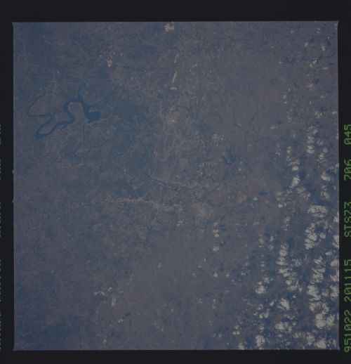
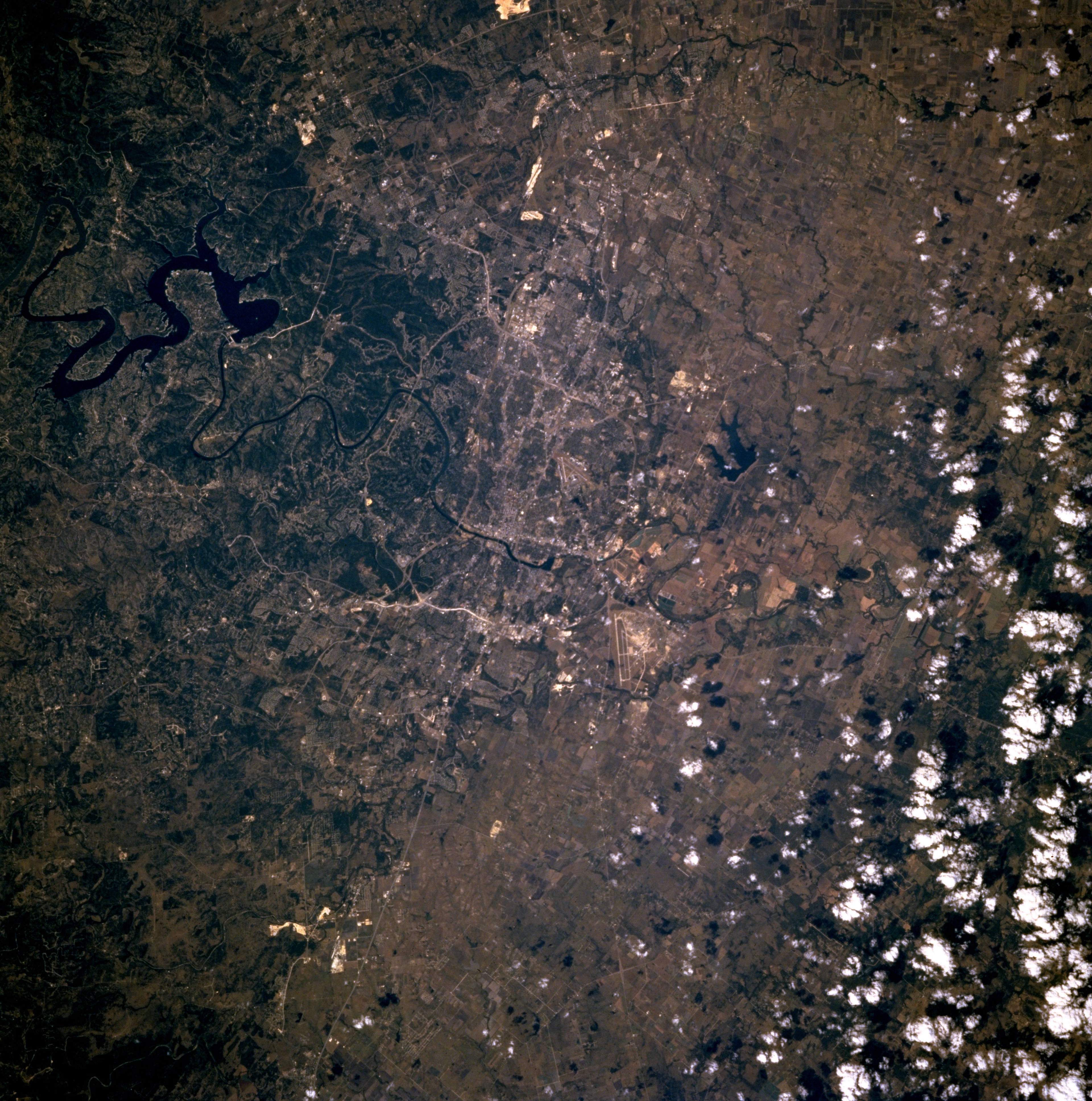
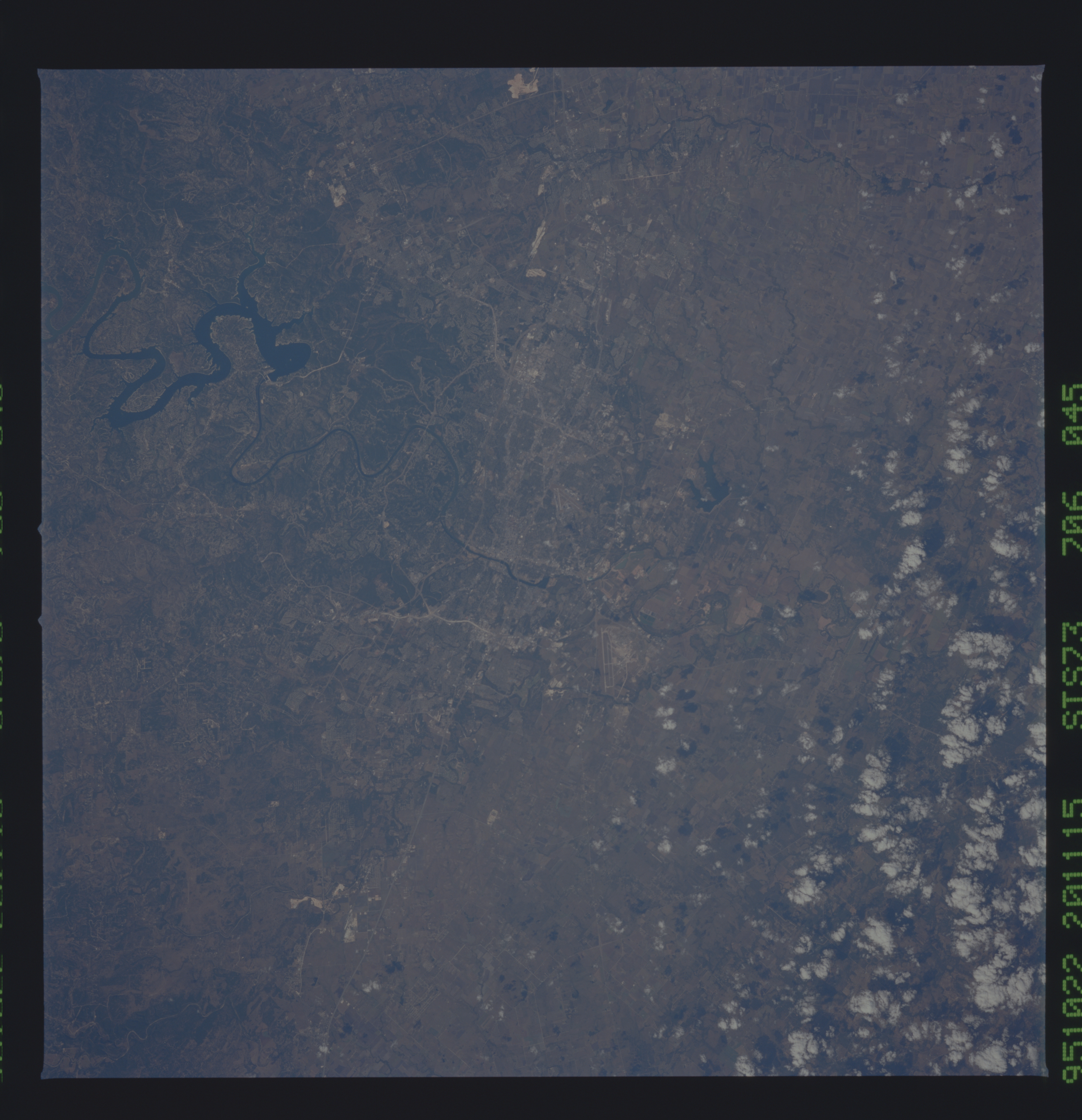
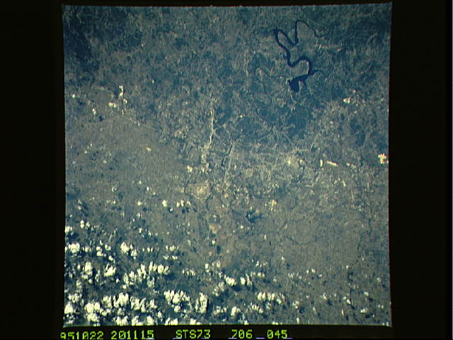
Image Caption: STS073-706-45 Austin, Texas, U.S.A. October 1995
The highway pattern helps to identify rapidly growing Austin, the state capital (center of the photograph). Dark, serpentine Lake Travis west of Austin is part of the Colorado River that winds its way through downtown. Visible are the runway of Bergstrom Air Force Base southeast of Austin; part of Interstate Highway 35 entering Austin from the south; and the north-south-trending Balcones escarpment passing through the western part of the city. The escarpment denotes a dramatic topographic change in the landscape--gently rolling plains east of the escarpment and dissected, hilly terrain west of the escarpment. Clouds obscure agricultural lands east of Austin.
The highway pattern helps to identify rapidly growing Austin, the state capital (center of the photograph). Dark, serpentine Lake Travis west of Austin is part of the Colorado River that winds its way through downtown. Visible are the runway of Bergstrom Air Force Base southeast of Austin; part of Interstate Highway 35 entering Austin from the south; and the north-south-trending Balcones escarpment passing through the western part of the city. The escarpment denotes a dramatic topographic change in the landscape--gently rolling plains east of the escarpment and dissected, hilly terrain west of the escarpment. Clouds obscure agricultural lands east of Austin.
