STS073-702-14
| NASA Photo ID | STS073-702-14 |
| Focal Length | 250mm |
| Date taken | 1995.10.27 |
| Time taken | 16:47:13 GMT |
Resolutions offered for this image:
3907 x 3872 pixels 640 x 634 pixels 5700 x 5900 pixels 500 x 518 pixels 640 x 480 pixels
3907 x 3872 pixels 640 x 634 pixels 5700 x 5900 pixels 500 x 518 pixels 640 x 480 pixels

Cloud masks available for this image:
Spacecraft nadir point: 37.1° N, 108.0° W
Photo center point: 37.5° N, 108.5° W
Photo center point by machine learning:
Photo center point: 37.5° N, 108.5° W
Photo center point by machine learning:
Nadir to Photo Center: Northwest
Spacecraft Altitude: 143 nautical miles (265km)
Camera: | Hasselblad |
Focal Length: | 250mm |
Camera Tilt: | 15 degrees |
Format: | 5046: Kodak, natural color positive, Lumiere 100/5046, ASA 100, standard base |
Film Exposure: | Normal |
| Additional Information | |
| Width | Height | Annotated | Cropped | Purpose | Links |
|---|---|---|---|---|---|
| 3907 pixels | 3872 pixels | No | No | Earth From Space collection | Download Image |
| 640 pixels | 634 pixels | No | No | Earth From Space collection | Download Image |
| 5700 pixels | 5900 pixels | No | No | Download Image | |
| 500 pixels | 518 pixels | No | No | Download Image | |
| 640 pixels | 480 pixels | No | No | Download Image |
Download Packaged File
Download a Google Earth KML for this Image
View photo footprint information
Download a GeoTIFF for this photo
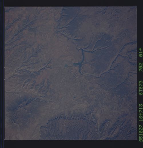
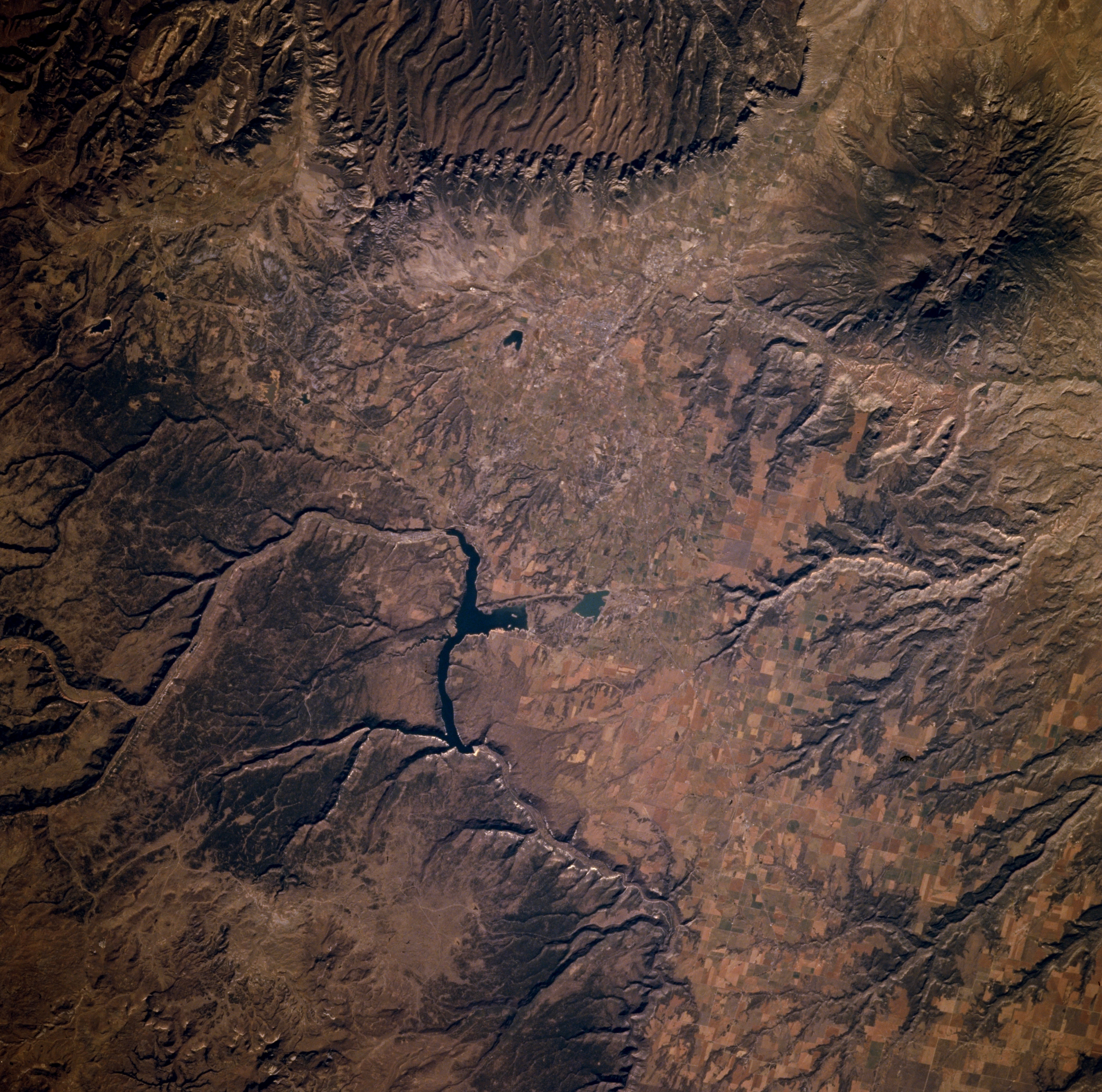
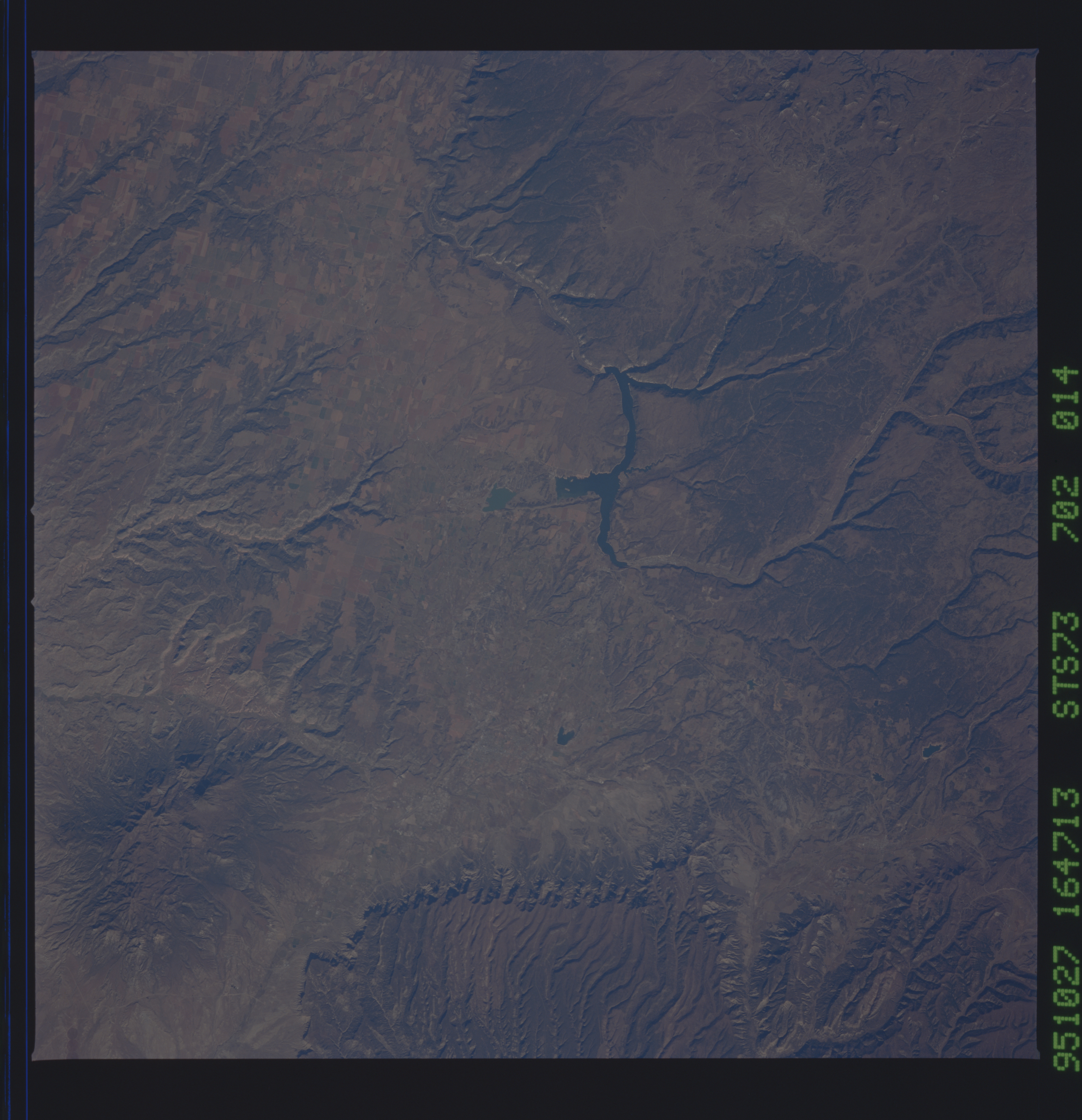
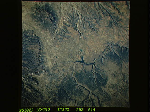
Image Caption: STS073-702-014 Dolores River and Canyon, Colorado, U.S.A. October 1995
Drainage patterns, mesas, and mountains are the prominent landforms in the semiarid environment of extreme southwest Colorado. Apparent are the Dolores River exiting southwest of the mountains and gradually making a U-turn to the northwest. Visible are Sleeping Ute Mountains and Ute Peak [5914 feet (1803 meters) above sea level] (upper right corner) and Mesa Verde National Park, the eroded mesa (top of photograph). Cortez (not discernible) lies near the small, dark, V-shaped reservoir (near top center).
Drainage patterns, mesas, and mountains are the prominent landforms in the semiarid environment of extreme southwest Colorado. Apparent are the Dolores River exiting southwest of the mountains and gradually making a U-turn to the northwest. Visible are Sleeping Ute Mountains and Ute Peak [5914 feet (1803 meters) above sea level] (upper right corner) and Mesa Verde National Park, the eroded mesa (top of photograph). Cortez (not discernible) lies near the small, dark, V-shaped reservoir (near top center).
