STS069-733-75
| NASA Photo ID | STS069-733-75 |
| Focal Length | 250mm |
| Date taken | 1995.09.17 |
| Time taken | 17:41:14 GMT |
Cloud masks available for this image:
Spacecraft nadir point: 22.7° S, 60.0° W
Photo center point: 23.5° S, 61.0° W
Photo center point by machine learning:
Photo center point: 23.5° S, 61.0° W
Photo center point by machine learning:
Nadir to Photo Center: Southwest
Spacecraft Altitude: 185 nautical miles (343km)
Camera: | Hasselblad |
Focal Length: | 250mm |
Camera Tilt: | 23 degrees |
Format: | 2443: Kodak Aerochrome 2443, color IR, thin base, EA-5 process thru June 1999, E-6 process afterward |
Film Exposure: | Normal |
| Additional Information | |
| Width | Height | Annotated | Cropped | Purpose | Links |
|---|---|---|---|---|---|
| 5700 pixels | 5900 pixels | No | No | Download Image | |
| 500 pixels | 518 pixels | No | No | Download Image | |
| 640 pixels | 480 pixels | No | No | Download Image |
Download Packaged File
Download a Google Earth KML for this Image
View photo footprint information
Download a GeoTIFF for this photo
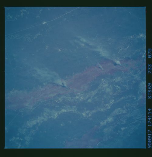
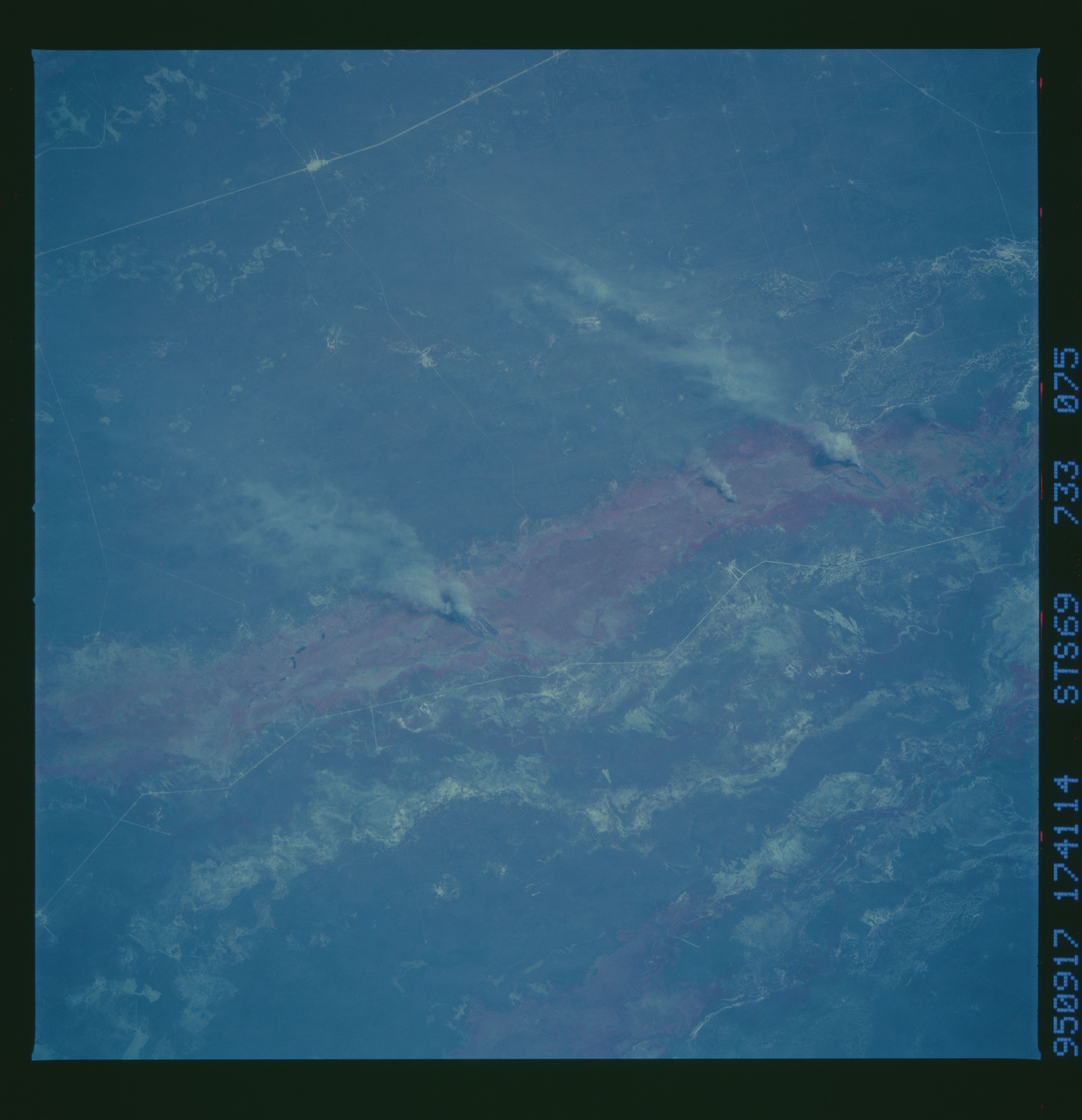
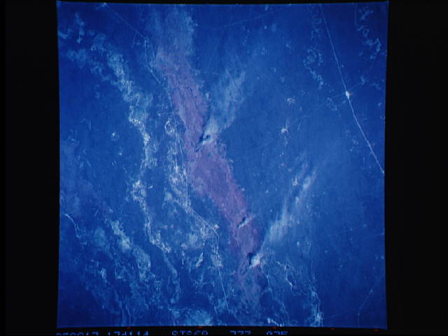
Image Caption: New Swampland development, N. Argentina Reddish colors
in this infra-red view indicate the areas flooded by the Pilcomayo
River. Swamplands have recently begun to develop on either side of the
levee tract of the Pilcomayo River, the boundary river between
Argentina and Paraguay. The swamps result from a new and undocumented
behavior of this large river: the Pilcomayo is progressively filling
its main bed with its own sediment, thereby destroying the channel
within which it flows. Its water and sediment load are therefore
spilled out onto the surrounding countryside, 15-20 feet in altitude
below the major course. The result are large, new swamplands developed
on either side of the main river tract. The south-side swamp is shown
in this view.
