STS069-720-44

| NASA Photo ID | STS069-720-44 |
| Focal Length | 40mm |
| Date taken | 1995.09.17 |
| Time taken | 17:40:33 GMT |
Cloud masks available for this image:
Spacecraft nadir point: 21.9° S, 62.4° W
Photo center point: 26.5° S, 65.5° W
Photo center point by machine learning:
Photo center point: 26.5° S, 65.5° W
Photo center point by machine learning:
Nadir to Photo Center: Southwest
Spacecraft Altitude: 185 nautical miles (343km)
Country or Geographic Name: | ARGENTINA |
Features: | PAN-ANDES MTS., SALT PAN |
| Features Found Using Machine Learning: | |
Cloud Cover Percentage: | 20 (11-25)% |
Sun Elevation Angle: | 56° |
Sun Azimuth: | 313° |
Camera: | Hasselblad |
Focal Length: | 40mm |
Camera Tilt: | High Oblique |
Format: | 5046: Kodak, natural color positive, Lumiere 100/5046, ASA 100, standard base |
Film Exposure: | Normal |
| Additional Information | |
| Width | Height | Annotated | Cropped | Purpose | Links |
|---|---|---|---|---|---|
| 5700 pixels | 5900 pixels | No | No | Download Image | |
| 500 pixels | 518 pixels | No | No | Download Image | |
| 640 pixels | 480 pixels | No | No | Download Image |
Download Packaged File
Download a Google Earth KML for this Image
View photo footprint information
Download a GeoTIFF for this photo
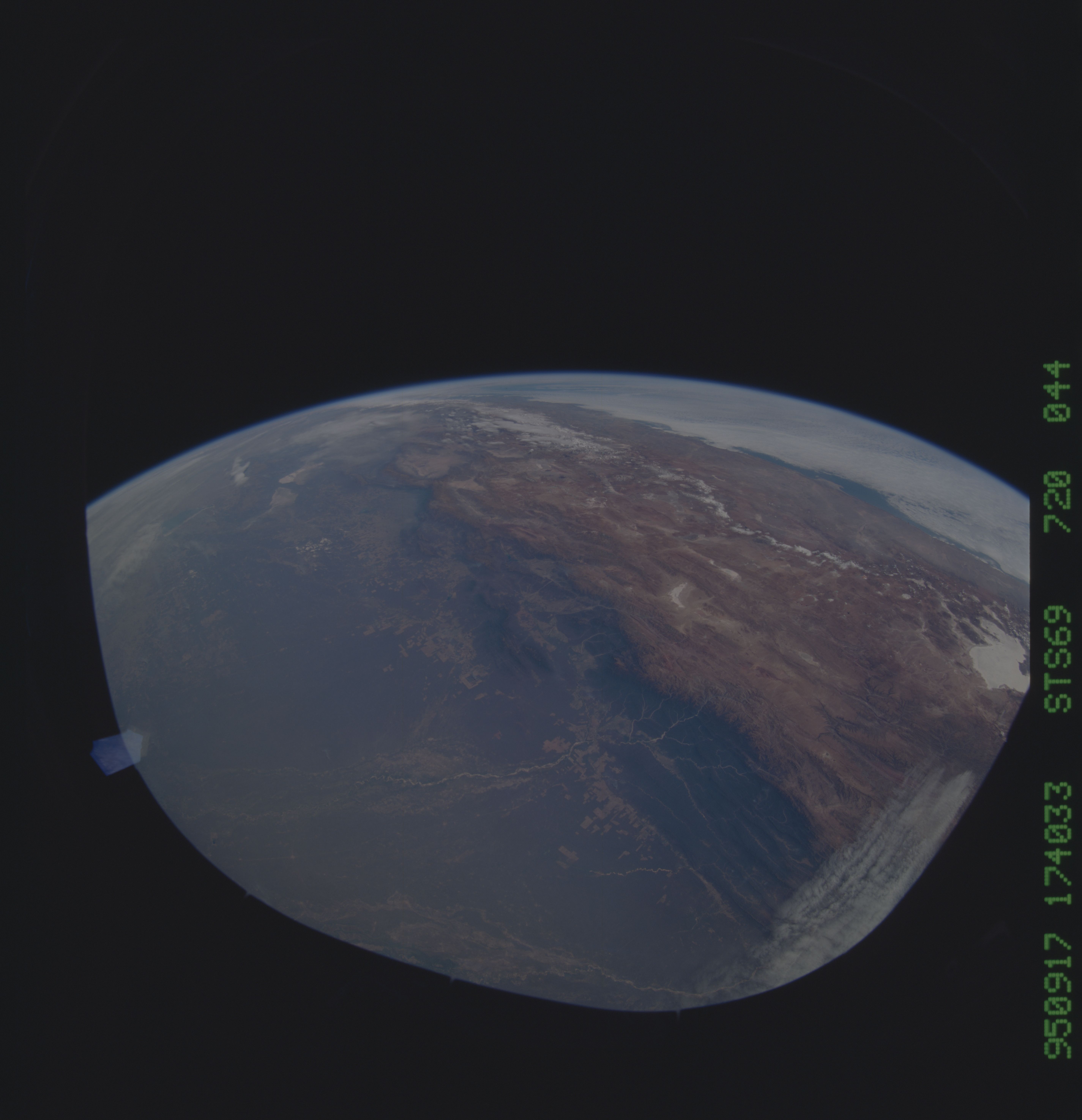
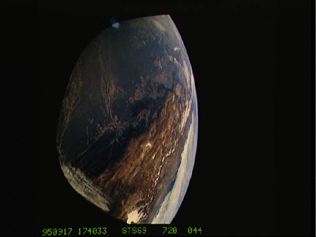
Image Caption: Chaco Plains, Northern Argentina This wideangle view
shows lowland Argentina and the high Andes in one view. In the
foreground lie the courses of the Bermejo and Pilcomayo Rivers.
shows lowland Argentina and the high Andes in one view. In the
foreground lie the courses of the Bermejo and Pilcomayo Rivers.
