STS069-719-93
| NASA Photo ID | STS069-719-93 |
| Focal Length | 40mm |
| Date taken | 1995.09.15 |
| Time taken | 18:34:58 GMT |
Cloud masks available for this image:
Spacecraft nadir point: 25.1° S, 48.5° W
Photo center point: 25.0° S, 55.0° W
Photo center point by machine learning:
Photo center point: 25.0° S, 55.0° W
Photo center point by machine learning:
Nadir to Photo Center: West
Spacecraft Altitude: 184 nautical miles (341km)
Country or Geographic Name: | PARAGUAY |
Features: | PAN-RESERVOIR, HAZE, SMOKE |
| Features Found Using Machine Learning: | |
Cloud Cover Percentage: | 25 (11-25)% |
Sun Elevation Angle: | 33° |
Sun Azimuth: | 291° |
Camera: | Hasselblad |
Focal Length: | 40mm |
Camera Tilt: | High Oblique |
Format: | 5046: Kodak, natural color positive, Lumiere 100/5046, ASA 100, standard base |
Film Exposure: | Over Exposed |
| Additional Information | |
| Width | Height | Annotated | Cropped | Purpose | Links |
|---|---|---|---|---|---|
| 5700 pixels | 5900 pixels | No | No | Download Image | |
| 500 pixels | 518 pixels | No | No | Download Image | |
| 640 pixels | 480 pixels | No | No | Download Image |
Download Packaged File
Download a Google Earth KML for this Image
View photo footprint information
Download a GeoTIFF for this photo
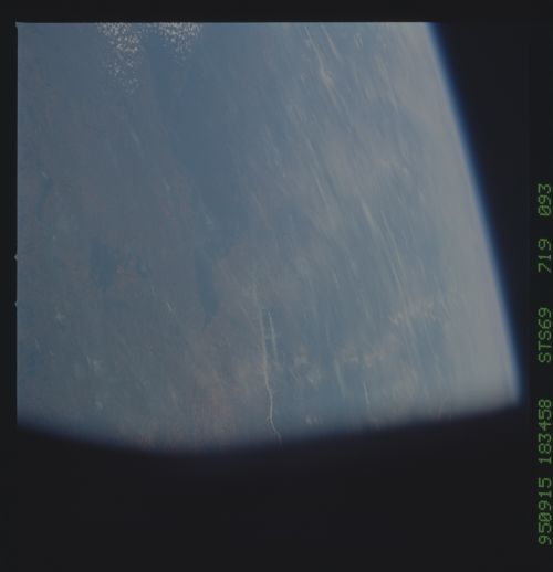
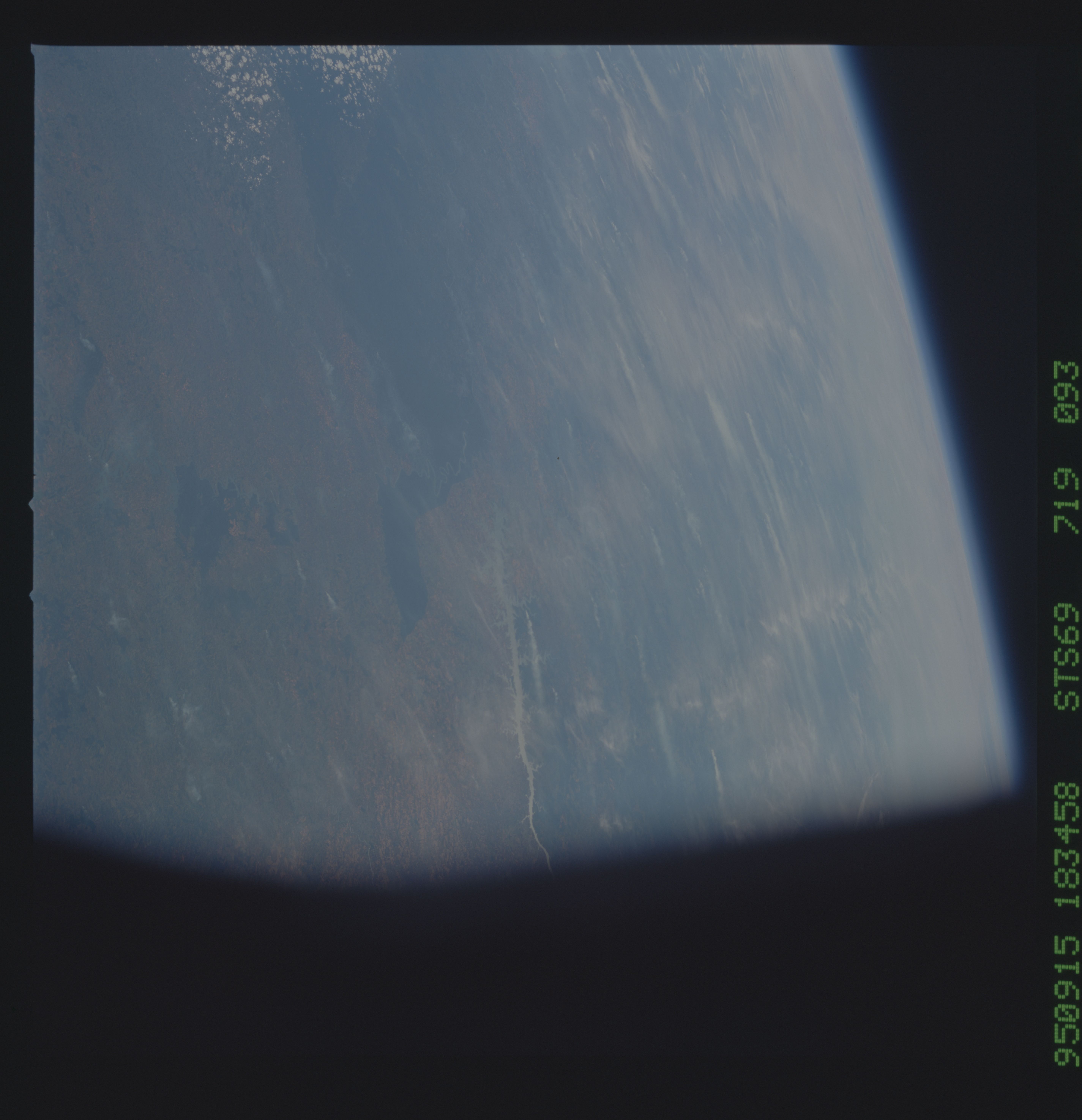
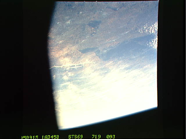
Image Caption: Forest preserve, Southern Brazil/Argentina/Paraguay
This SW-looking oblique shows the sharp boundary between the remaining
natural vegetation (forest) mainly in what is a remote corner of
northernmost Argentina. This compares with the complete removal of
forest on the Brazilian side (foreground) where all land has been
brought under the plow. Smoke can be seen from numerous fires in
Paraguay where forest clearing is intermediate between the Argentine
and Brazilian situations.
STS069-719-093 Forest preserve, Southern Brazil/Argentina/Paraguay
This SW-looking oblique shows the sharp boundary between the remaining
natural vegetation (forest) mainly in what is a remote corner of
northernmost Argentina. This compares with the complete removal of
forest on the Brazilian side (foreground) where all land has been
brought under the plow. Smoke can be seen from numerous fires in
Paraguay where forest clearing is intermediate between the Argentine
and Brazilian situations.
STS069-719-093 Forest preserve, Southern Brazil/Argentina/Paraguay
This SW-looking oblique shows the sharp boundary between the remaining
natural vegetation (forest) mainly in what is a remote corner of
northernmost Argentina. This compares with the complete removal of
forest on the Brazilian side (foreground) where all land has been
brought under the plow. Smoke can be seen from numerous fires in
Paraguay where forest clearing is intermediate between the Argentine
and Brazilian situations.
