STS069-709-63

| NASA Photo ID | STS069-709-63 |
| Focal Length | 40mm |
| Date taken | 1995.09.09 |
| Time taken | 10:14:26 GMT |

Cloud masks available for this image:
Spacecraft nadir point: 21.3° N, 23.9° E
Photo center point: 29.0° N, 31.0° E
Photo center point by machine learning:
Photo center point: 29.0° N, 31.0° E
Photo center point by machine learning:
Nadir to Photo Center: Northeast
Spacecraft Altitude: 201 nautical miles (372km)
Country or Geographic Name: | EGYPT |
Features: | PAN-GILF KEBIR TO NILE |
| Features Found Using Machine Learning: | |
Cloud Cover Percentage: | 5 (1-10)% |
Sun Elevation Angle: | 74° |
Sun Azimuth: | 173° |
Camera: | Hasselblad |
Focal Length: | 40mm |
Camera Tilt: | High Oblique |
Format: | 5046: Kodak, natural color positive, Lumiere 100/5046, ASA 100, standard base |
Film Exposure: | Normal |
| Additional Information | |
| Width | Height | Annotated | Cropped | Purpose | Links |
|---|---|---|---|---|---|
| 5700 pixels | 5900 pixels | No | No | Download Image | |
| 500 pixels | 518 pixels | No | No | Download Image | |
| 640 pixels | 480 pixels | No | No | Download Image |
Download Packaged File
Download a Google Earth KML for this Image
View photo footprint information
Download a GeoTIFF for this photo
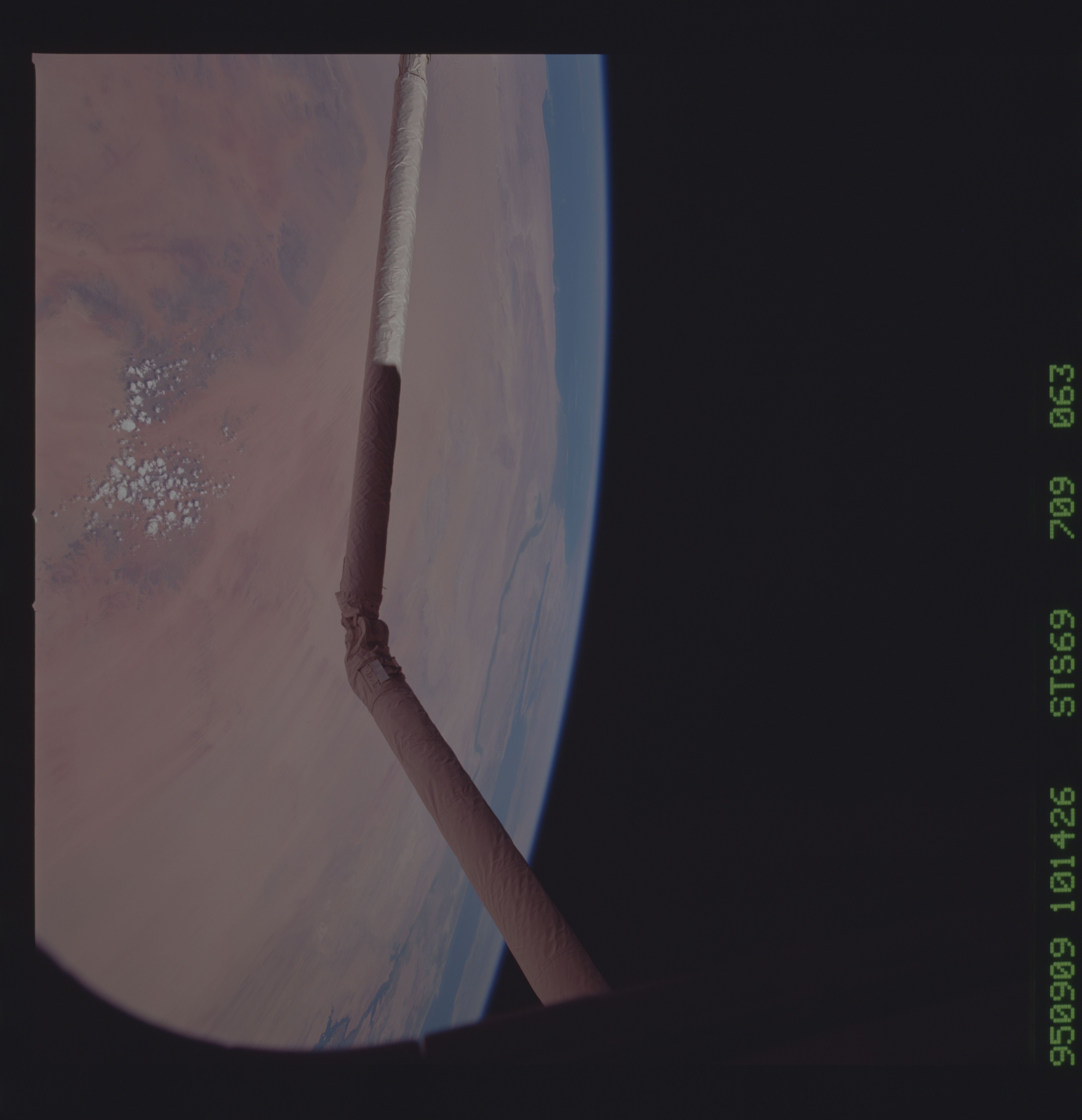
Image Caption: Gilf Kebir Plateau, SW Egypt The crew was asked in an
uplink messgae to document the phenomenon of clouds forming over
dark-colored surfaces. Dark surfaces are preferentially heated and
thus produce added vertical movement in the atmosphere, as seen here.
uplink messgae to document the phenomenon of clouds forming over
dark-colored surfaces. Dark surfaces are preferentially heated and
thus produce added vertical movement in the atmosphere, as seen here.
