STS069-709-56

| NASA Photo ID | STS069-709-56 |
| Focal Length | 40mm |
| Date taken | 1995.09.09 |
| Time taken | 10:12:58 GMT |
Cloud masks available for this image:
Spacecraft nadir point: 23.1° N, 18.4° E
Photo center point: 29.0° N, 16.5° E
Photo center point by machine learning:
Photo center point: 29.0° N, 16.5° E
Photo center point by machine learning:
Nadir to Photo Center: North
Spacecraft Altitude: 201 nautical miles (372km)
Country or Geographic Name: | LIBYA |
Features: | PAN-BLACK HARUJ |
| Features Found Using Machine Learning: | |
Cloud Cover Percentage: | 10 (1-10)% |
Sun Elevation Angle: | 71° |
Sun Azimuth: | 156° |
Camera: | Hasselblad |
Focal Length: | 40mm |
Camera Tilt: | High Oblique |
Format: | 5046: Kodak, natural color positive, Lumiere 100/5046, ASA 100, standard base |
Film Exposure: | Normal |
| Additional Information | |
| Width | Height | Annotated | Cropped | Purpose | Links |
|---|---|---|---|---|---|
| 5700 pixels | 5900 pixels | No | No | Download Image | |
| 500 pixels | 518 pixels | No | No | Download Image | |
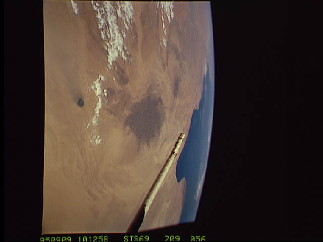
| 640 pixels | 480 pixels | No | No | Download Image |
Download Packaged File
Download a Google Earth KML for this Image
View photo footprint information
Download a GeoTIFF for this photo
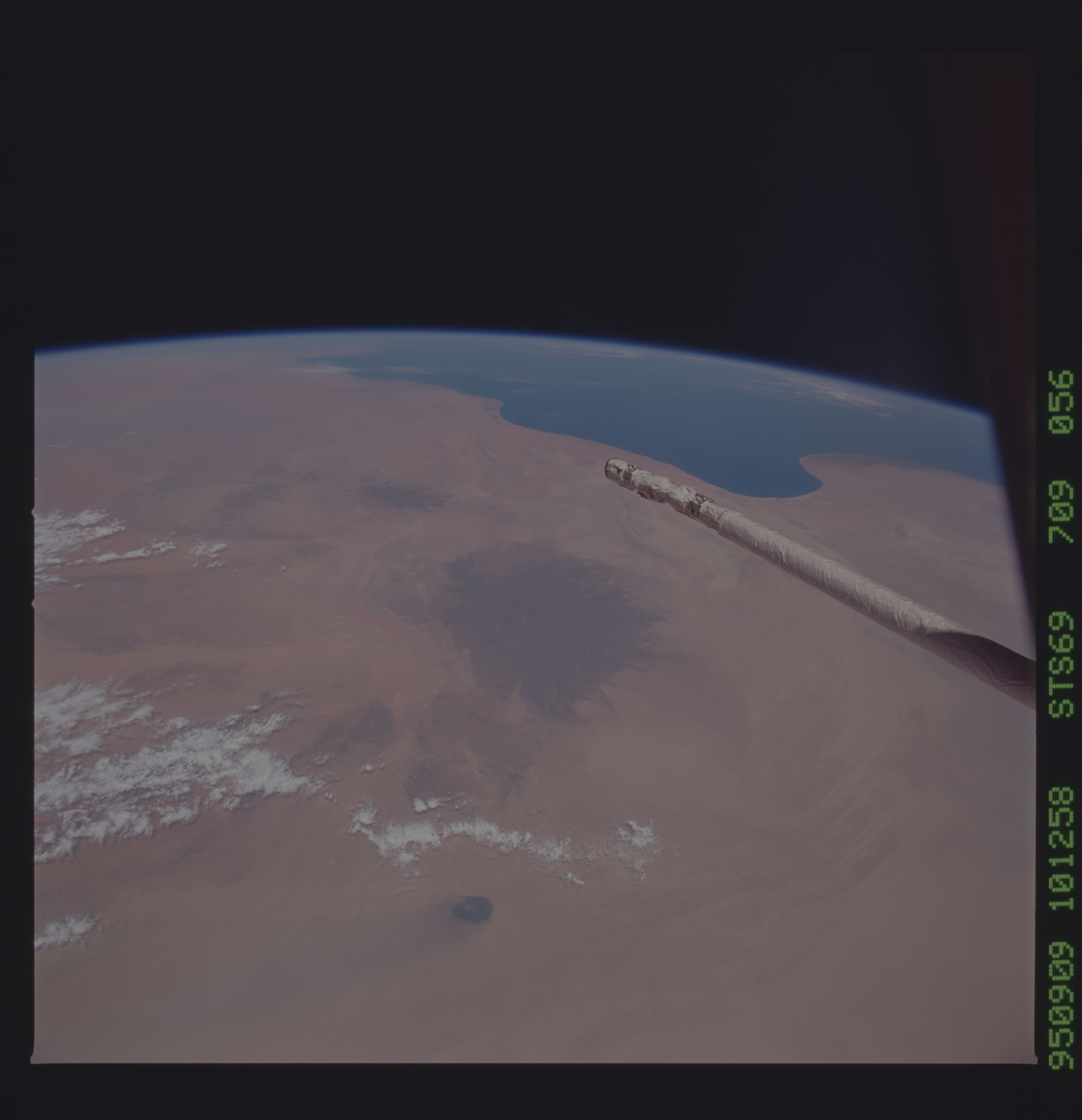
Image Caption: Black Haruj Hills, central Libya The crew was asked to
document the phenomenon of clouds formed only over the dark-colored
Black Haruj hills, as seen on the weather satellite. In the event the
phenomenon was documented over the dark surface of the Gilf Kebir
plateau in SW Egypt (STS069-709-063). Dark surfaces are preferentially
heated and thus produce added vertical movement in the atmosphere.
