STS068-269-8

| NASA Photo ID | STS068-269-8 |
| Focal Length | 250mm |
| Date taken | 1994.10.04 |
| Time taken | 05:58:26 GMT |
Cloud masks available for this image:
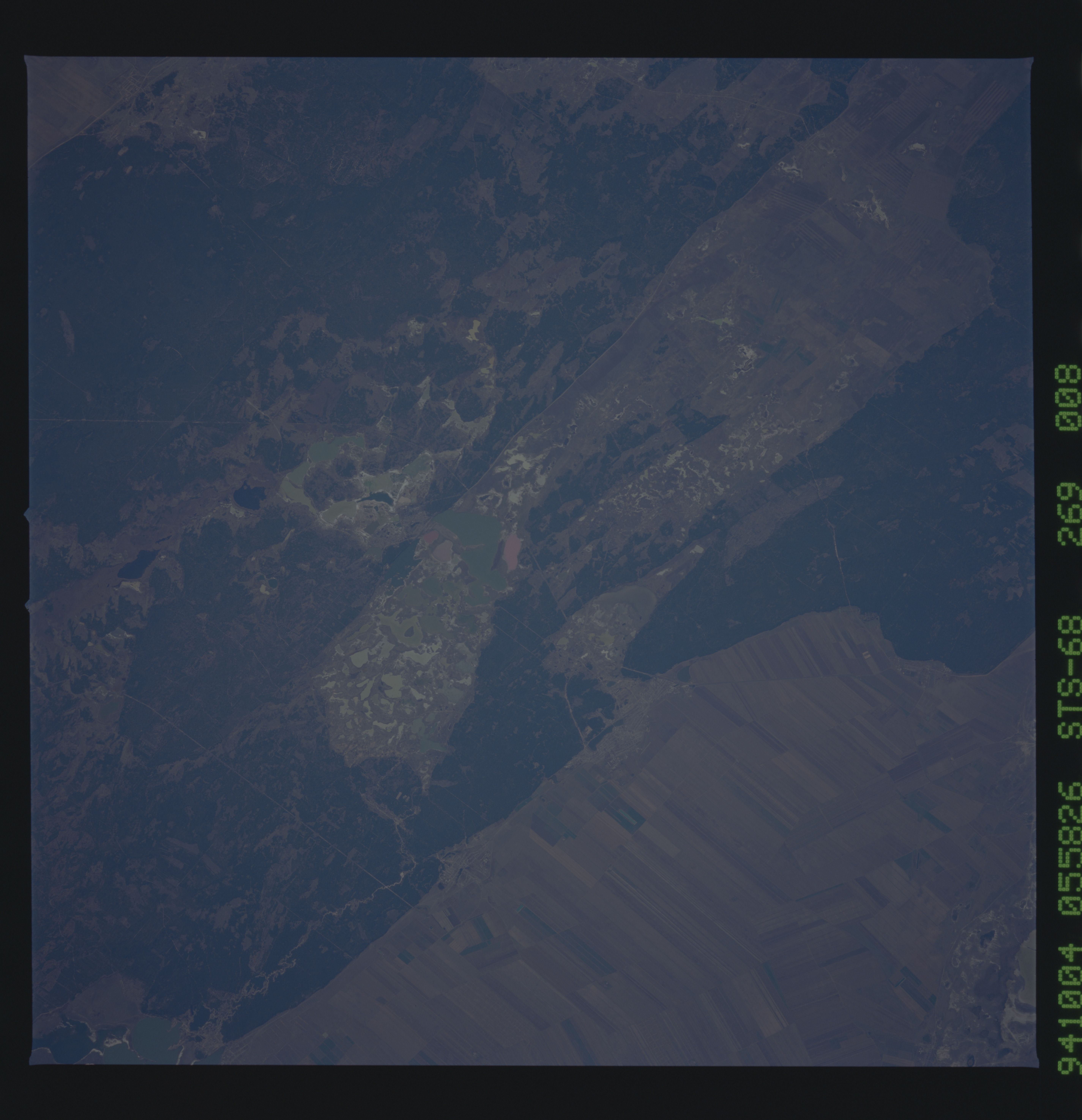
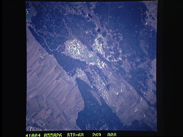
Spacecraft nadir point: 52.4° N, 80.7° E
Photo center point: 51.5° N, 79.5° E
Photo center point by machine learning:
Photo center point: 51.5° N, 79.5° E
Photo center point by machine learning:
Nadir to Photo Center: Southwest
Spacecraft Altitude: 117 nautical miles (217km)
Country or Geographic Name: | RUSSIAN FEDERATION |
Features: | SMALL LAKES, TOWNS, AGRICULTURE |
| Features Found Using Machine Learning: | |
Cloud Cover Percentage: | 0 (no clouds present) |
Sun Elevation Angle: | 33° |
Sun Azimuth: | 172° |
Camera: | Hasselblad |
Focal Length: | 250mm |
Camera Tilt: | 38 degrees |
Format: | 5046: Kodak, natural color positive, Lumiere 100/5046, ASA 100, standard base |
Film Exposure: | Normal |
| Additional Information | |
| Width | Height | Annotated | Cropped | Purpose | Links |
|---|---|---|---|---|---|
| 5700 pixels | 5900 pixels | No | No | Download Image | |
| 500 pixels | 518 pixels | No | No | Download Image | |
| 640 pixels | 480 pixels | No | No | Download Image |
Download Packaged File
Download a Google Earth KML for this Image
View photo footprint information
Download a GeoTIFF for this photo
Image Caption: Detail of a small part of the vast Kulunda Steppe of
western Siberia. Dark areas are coniferous forests, brown areas show
agricultural patterns, and lakes suggest industrial pollution near the
city of Mikhaylovskiy north of Semipalatinsk.
western Siberia. Dark areas are coniferous forests, brown areas show
agricultural patterns, and lakes suggest industrial pollution near the
city of Mikhaylovskiy north of Semipalatinsk.
