STS068-256-68
| NASA Photo ID | STS068-256-68 |
| Focal Length | 250mm |
| Date taken | 1994.10.05 |
| Time taken | 19:05:39 GMT |
Resolutions offered for this image:
3904 x 3808 pixels 639 x 624 pixels 5700 x 5900 pixels 500 x 518 pixels 640 x 480 pixels 3313 x 3403 pixels
3904 x 3808 pixels 639 x 624 pixels 5700 x 5900 pixels 500 x 518 pixels 640 x 480 pixels 3313 x 3403 pixels


Cloud masks available for this image:
Spacecraft nadir point: 31.9° N, 91.9° W
Photo center point: 31.5° N, 92.5° W
Photo center point by machine learning:
Photo center point: 31.5° N, 92.5° W
Photo center point by machine learning:
Nadir to Photo Center: Southwest
Spacecraft Altitude: 116 nautical miles (215km)
Country or Geographic Name: | USA-LOUISIANA |
Features: | ALEXANDRIA AREA, RED R. |
| Features Found Using Machine Learning: | |
Cloud Cover Percentage: | 0 (no clouds present) |
Sun Elevation Angle: | 50° |
Sun Azimuth: | 208° |
Camera: | Hasselblad |
Focal Length: | 250mm |
Camera Tilt: | 20 degrees |
Format: | 5046: Kodak, natural color positive, Lumiere 100/5046, ASA 100, standard base |
Film Exposure: | Normal |
| Additional Information | |
| Width | Height | Annotated | Cropped | Purpose | Links |
|---|---|---|---|---|---|
| 3904 pixels | 3808 pixels | No | No | Earth From Space collection | Download Image |
| 639 pixels | 624 pixels | No | No | Earth From Space collection | Download Image |
| 5700 pixels | 5900 pixels | No | No | Download Image | |
| 500 pixels | 518 pixels | No | No | Download Image | |
| 640 pixels | 480 pixels | No | No | Download Image | |
| 3313 pixels | 3403 pixels | Download Image |
Download Packaged File
Download a Google Earth KML for this Image
View photo footprint information
Download a GeoTIFF for this photo
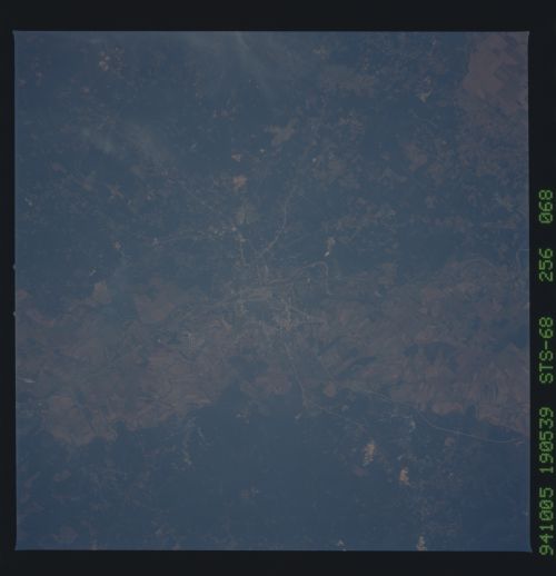
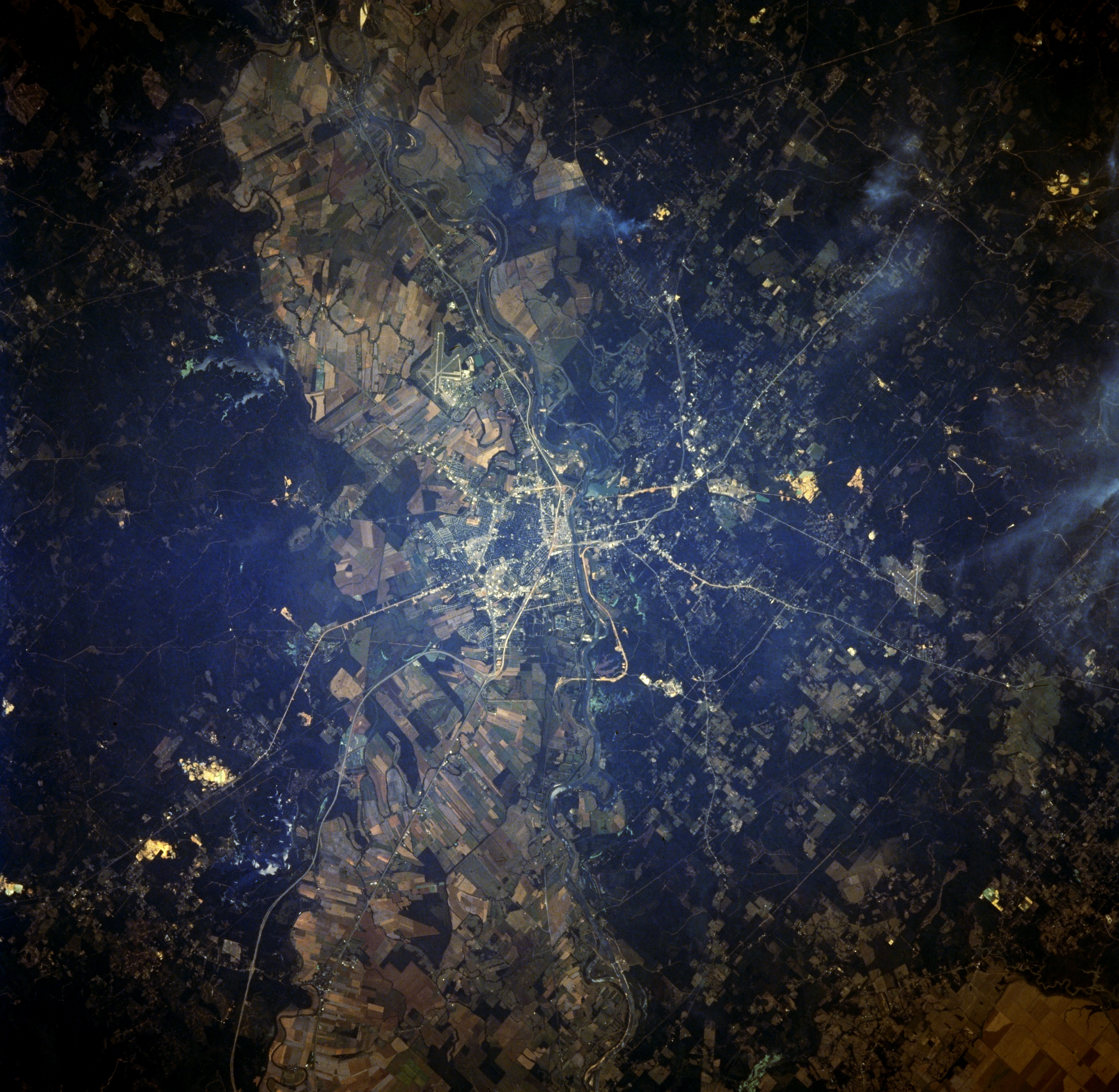
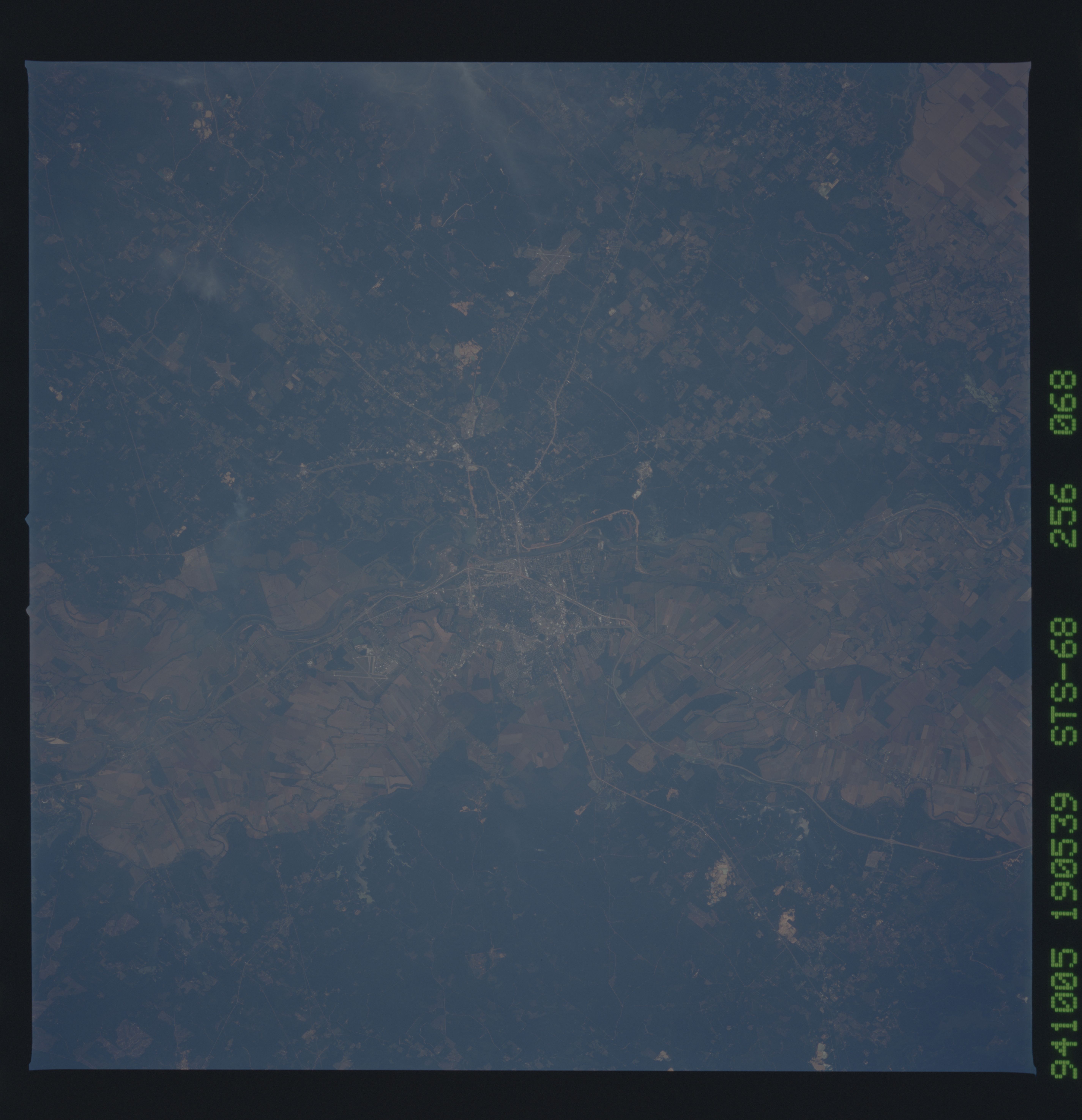
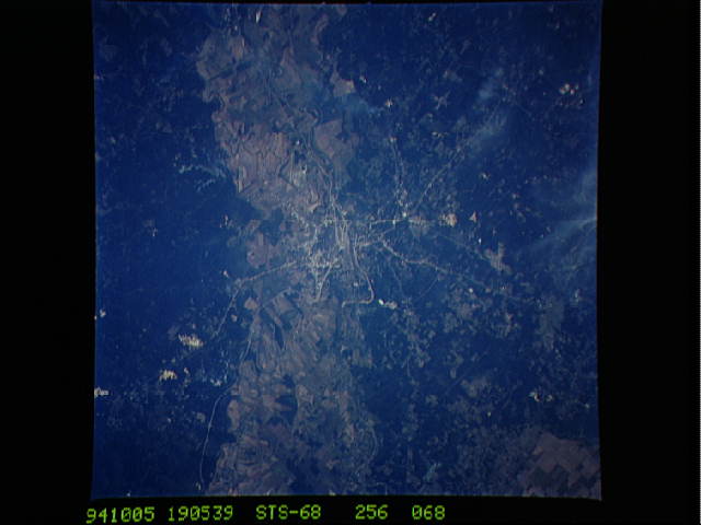
Image Caption: STS068-256-068 Alexandria, Louisiana October 1994
A concentration of cultivated field patterns is observable on the floodplain (light-colored swath running horizontally across the image) of the Red River both southeast and northwest of Alexandria. The actual river channel is difficult to identify as it flows southeast, especially as it meanders through the built-up urban area of Alexandria. Since Alexandria is located near the center of the state, several ground transportation links including highways--Interstate Highway 49 that connects Shreveport with Lafayette--and railroad right a ways can be traced across the fairly flat landscape (generally light-colored, thin, linear features). The darker terrain is primarily forested land. Intersecting runways for the two airports can also be discriminated: England Air Force Base immediately west of the highly reflective downtown area in the center of the image, and Esler Field which is located northeast of the downtown area of Alexandria.
A concentration of cultivated field patterns is observable on the floodplain (light-colored swath running horizontally across the image) of the Red River both southeast and northwest of Alexandria. The actual river channel is difficult to identify as it flows southeast, especially as it meanders through the built-up urban area of Alexandria. Since Alexandria is located near the center of the state, several ground transportation links including highways--Interstate Highway 49 that connects Shreveport with Lafayette--and railroad right a ways can be traced across the fairly flat landscape (generally light-colored, thin, linear features). The darker terrain is primarily forested land. Intersecting runways for the two airports can also be discriminated: England Air Force Base immediately west of the highly reflective downtown area in the center of the image, and Esler Field which is located northeast of the downtown area of Alexandria.
