STS068-254-44

| NASA Photo ID | STS068-254-44 |
| Focal Length | 100mm |
| Date taken | 1994.10.05 |
| Time taken | 08:38:07 GMT |
Resolutions offered for this image:
5248 x 5248 pixels 640 x 640 pixels 5700 x 5900 pixels 500 x 518 pixels 640 x 480 pixels
5248 x 5248 pixels 640 x 640 pixels 5700 x 5900 pixels 500 x 518 pixels 640 x 480 pixels


Cloud masks available for this image:
Spacecraft nadir point: 49.0° N, 43.2° E
Photo center point: 48.0° N, 43.0° E
Photo center point by machine learning:
Photo center point: 48.0° N, 43.0° E
Photo center point by machine learning:
Nadir to Photo Center: South
Spacecraft Altitude: 116 nautical miles (215km)
Country or Geographic Name: | RUSSIAN FEDERATION |
Features: | TSIMLYANSK RESERVOIR |
| Features Found Using Machine Learning: | |
Cloud Cover Percentage: | 0 (no clouds present) |
Sun Elevation Angle: | 36° |
Sun Azimuth: | 175° |
Camera: | Hasselblad |
Focal Length: | 100mm |
Camera Tilt: | 28 degrees |
Format: | 5046: Kodak, natural color positive, Lumiere 100/5046, ASA 100, standard base |
Film Exposure: | Normal |
| Additional Information | |
| Width | Height | Annotated | Cropped | Purpose | Links |
|---|---|---|---|---|---|
| 5248 pixels | 5248 pixels | No | No | Earth From Space collection | Download Image |
| 640 pixels | 640 pixels | No | No | Earth From Space collection | Download Image |
| 5700 pixels | 5900 pixels | No | No | Download Image | |
| 500 pixels | 518 pixels | No | No | Download Image | |
| 640 pixels | 480 pixels | No | No | Download Image |
Download Packaged File
Download a Google Earth KML for this Image
View photo footprint information
Download a GeoTIFF for this photo
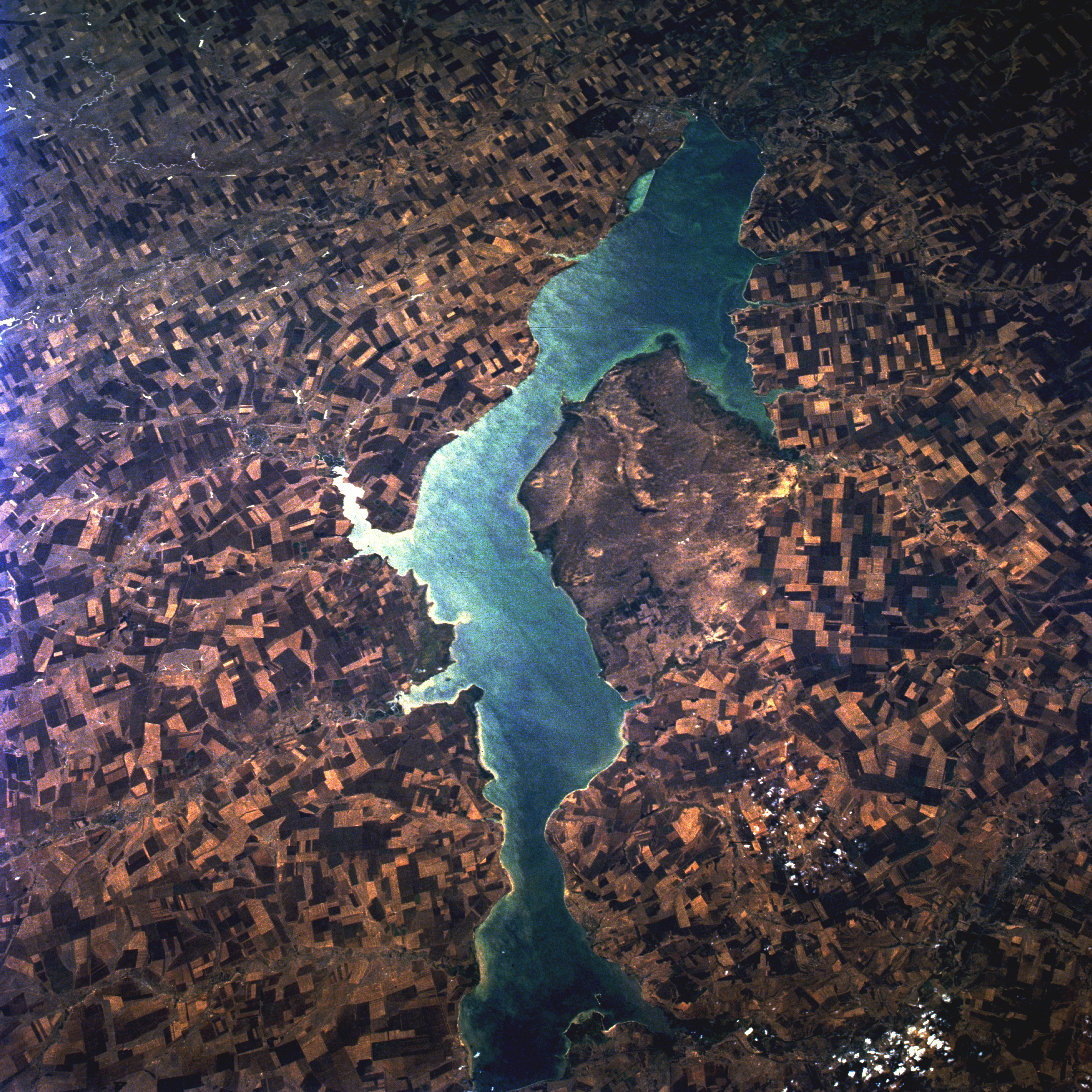
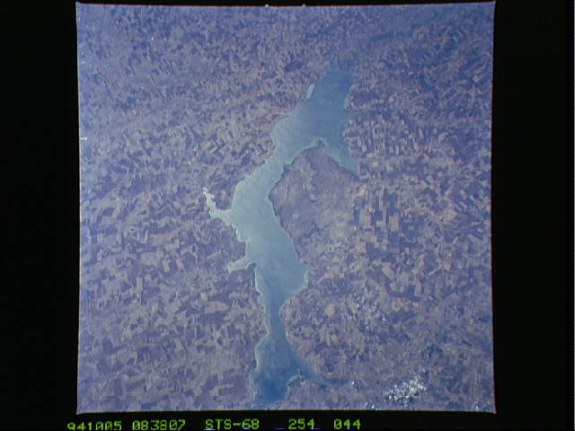
Image Caption: STS068-254-044 Tsimlyansk Reservoir, Russia October 1994
The Tsimlyansk Reservoir is located on the Don River. It can be seen surrounded by numerous agricultural fields in this west-southwest-looking low oblique view. It is one of the largest reservoirs in Russia. It was completed in 1952 to provide power and irrigation to the region from Rostov to Volgograd. Crops grown in the region around the lake include wheat, rice, cotton, maize, alfalfa, fruit, grapes, and vegetables. The reservoir is part of a waterway for the shipping of raw materials from the upper Don and Volga Basins to the lower Don River Basin and visa-versa. The Tsimlyansk Dam also provides flood control for the lower Don River Basin. Industry has grown at a high rate in the region since the completion of the lake.
The Tsimlyansk Reservoir is located on the Don River. It can be seen surrounded by numerous agricultural fields in this west-southwest-looking low oblique view. It is one of the largest reservoirs in Russia. It was completed in 1952 to provide power and irrigation to the region from Rostov to Volgograd. Crops grown in the region around the lake include wheat, rice, cotton, maize, alfalfa, fruit, grapes, and vegetables. The reservoir is part of a waterway for the shipping of raw materials from the upper Don and Volga Basins to the lower Don River Basin and visa-versa. The Tsimlyansk Dam also provides flood control for the lower Don River Basin. Industry has grown at a high rate in the region since the completion of the lake.
