STS068-237-44

| NASA Photo ID | STS068-237-44 |
| Focal Length | 250mm |
| Date taken | 1994.10.06 |
| Time taken | 17:12:07 GMT |
Resolutions offered for this image:
3808 x 3872 pixels 629 x 639 pixels 5700 x 5900 pixels 500 x 518 pixels 640 x 480 pixels
3808 x 3872 pixels 629 x 639 pixels 5700 x 5900 pixels 500 x 518 pixels 640 x 480 pixels
Cloud masks available for this image:
Spacecraft nadir point: 45.4° N, 86.2° W
Photo center point: 45.0° N, 87.5° W
Photo center point by machine learning:
Photo center point: 45.0° N, 87.5° W
Photo center point by machine learning:
Nadir to Photo Center: West
Spacecraft Altitude: 116 nautical miles (215km)
Country or Geographic Name: | USA-WISCONSIN |
Features: | GREEN B, MENOMINEE R, AGR |
| Features Found Using Machine Learning: | |
Cloud Cover Percentage: | 0 (no clouds present) |
Sun Elevation Angle: | 39° |
Sun Azimuth: | 173° |
Camera: | Hasselblad |
Focal Length: | 250mm |
Camera Tilt: | 35 degrees |
Format: | 5046: Kodak, natural color positive, Lumiere 100/5046, ASA 100, standard base |
Film Exposure: | Normal |
| Additional Information | |
| Width | Height | Annotated | Cropped | Purpose | Links |
|---|---|---|---|---|---|
| 3808 pixels | 3872 pixels | No | No | Earth From Space collection | Download Image |
| 629 pixels | 639 pixels | No | No | Earth From Space collection | Download Image |
| 5700 pixels | 5900 pixels | No | No | Download Image | |
| 500 pixels | 518 pixels | No | No | Download Image | |
| 640 pixels | 480 pixels | No | No | Download Image |
Download Packaged File
Download a Google Earth KML for this Image
View photo footprint information
Download a GeoTIFF for this photo
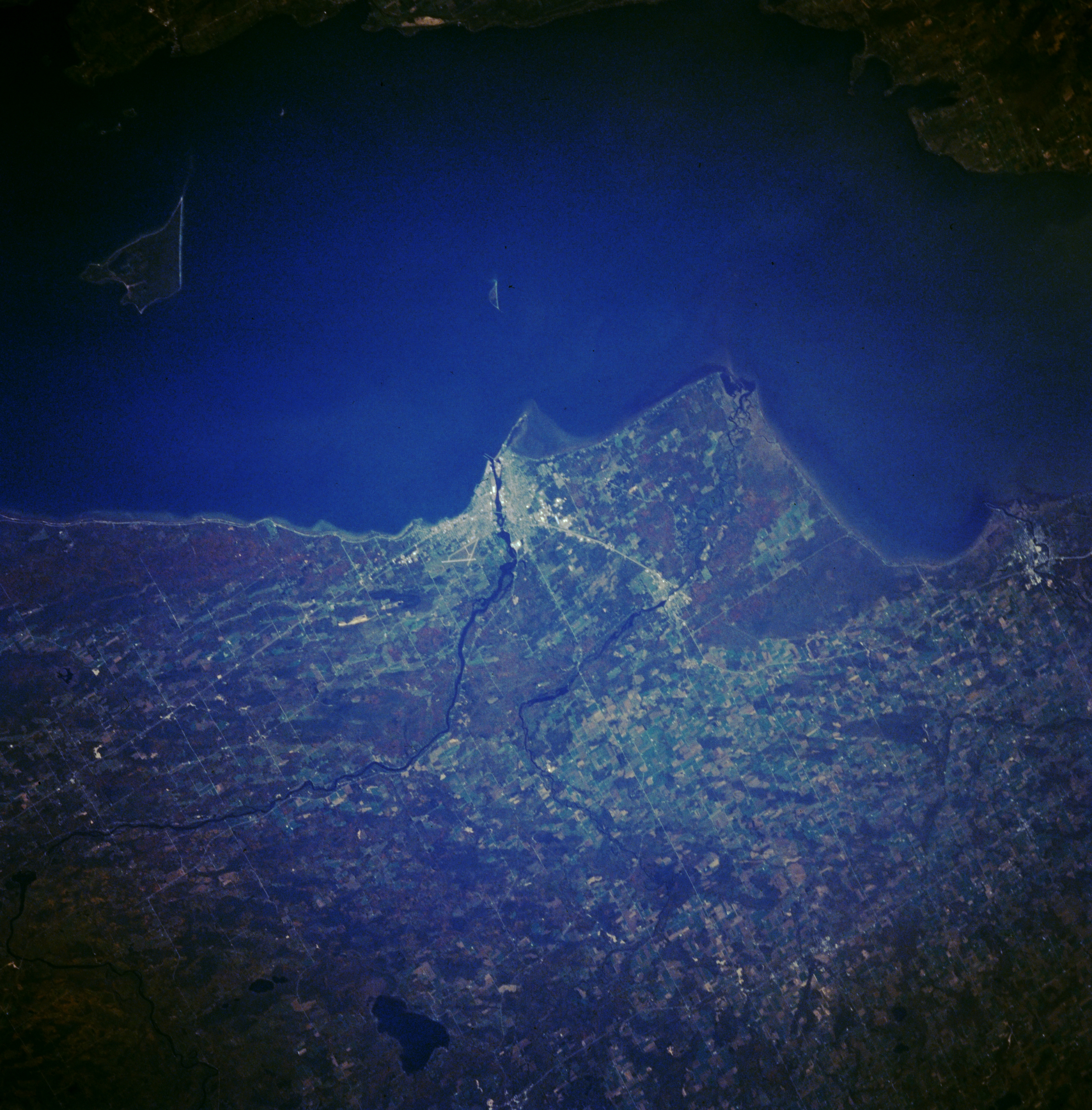
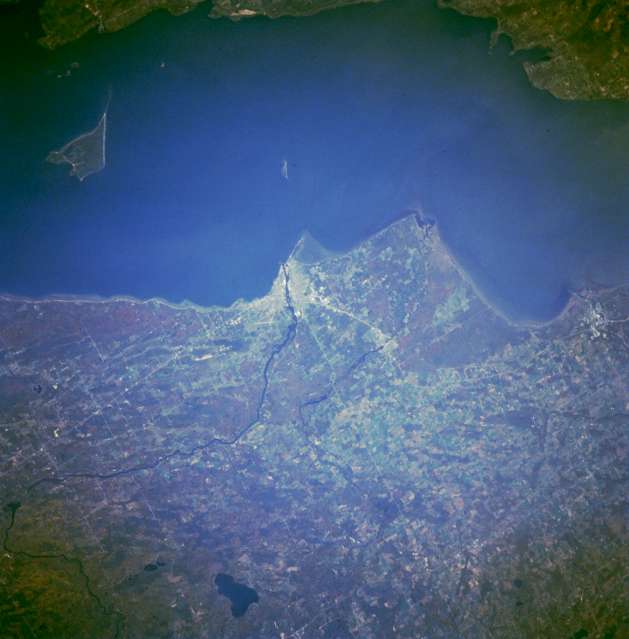
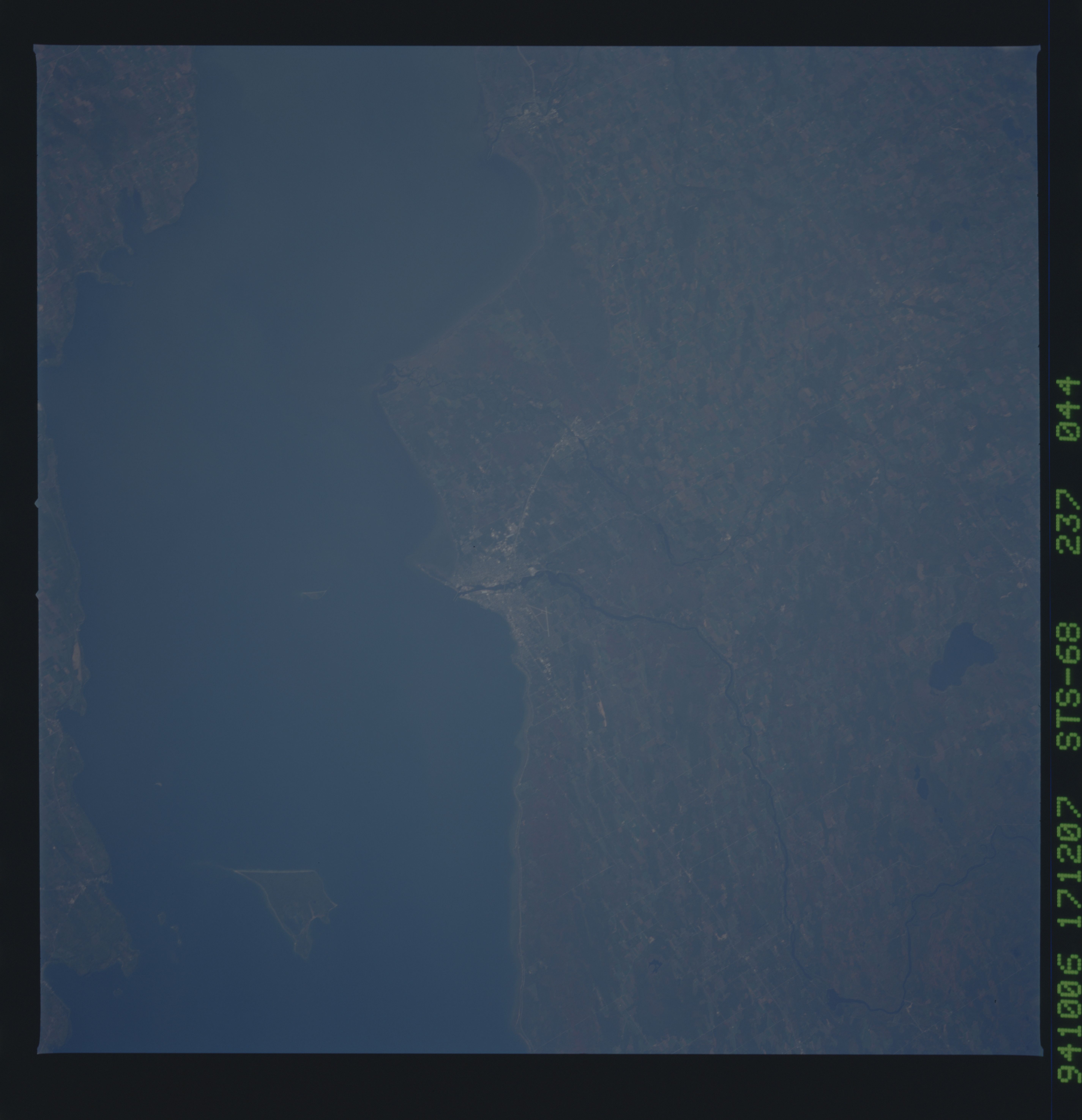
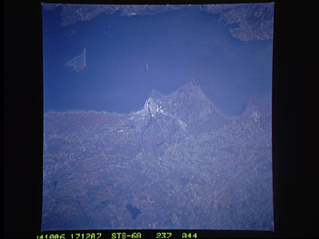
Image Caption: STS068-237-044 Marinette and Menominee, Wisconsin and Michigan, U.S.A. October 1994
Apparent in this east-northeast, low-oblique photograph is the Menominee River, which separates Wisconsin and Michigan, empties into Green Bay (near center of the photograph), and serves as the boundary between Marinette, Wisconsin, on its southwest bank and Menominee, Michigan, on its northeast bank. Marinette's major industries are pulp, paper, and tourism; Menominee is a ferry port and a marketplace for a cheese producing area. In the 1800s, the city was a great shipping point for lumber and was known as the white pine capital of the world. Visible are Lake Noquebay (bottom center), Green Bay and adjacent Door Peninsula to the east, and Chambers Island within the bay.
Apparent in this east-northeast, low-oblique photograph is the Menominee River, which separates Wisconsin and Michigan, empties into Green Bay (near center of the photograph), and serves as the boundary between Marinette, Wisconsin, on its southwest bank and Menominee, Michigan, on its northeast bank. Marinette's major industries are pulp, paper, and tourism; Menominee is a ferry port and a marketplace for a cheese producing area. In the 1800s, the city was a great shipping point for lumber and was known as the white pine capital of the world. Visible are Lake Noquebay (bottom center), Green Bay and adjacent Door Peninsula to the east, and Chambers Island within the bay.
