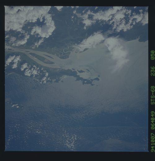
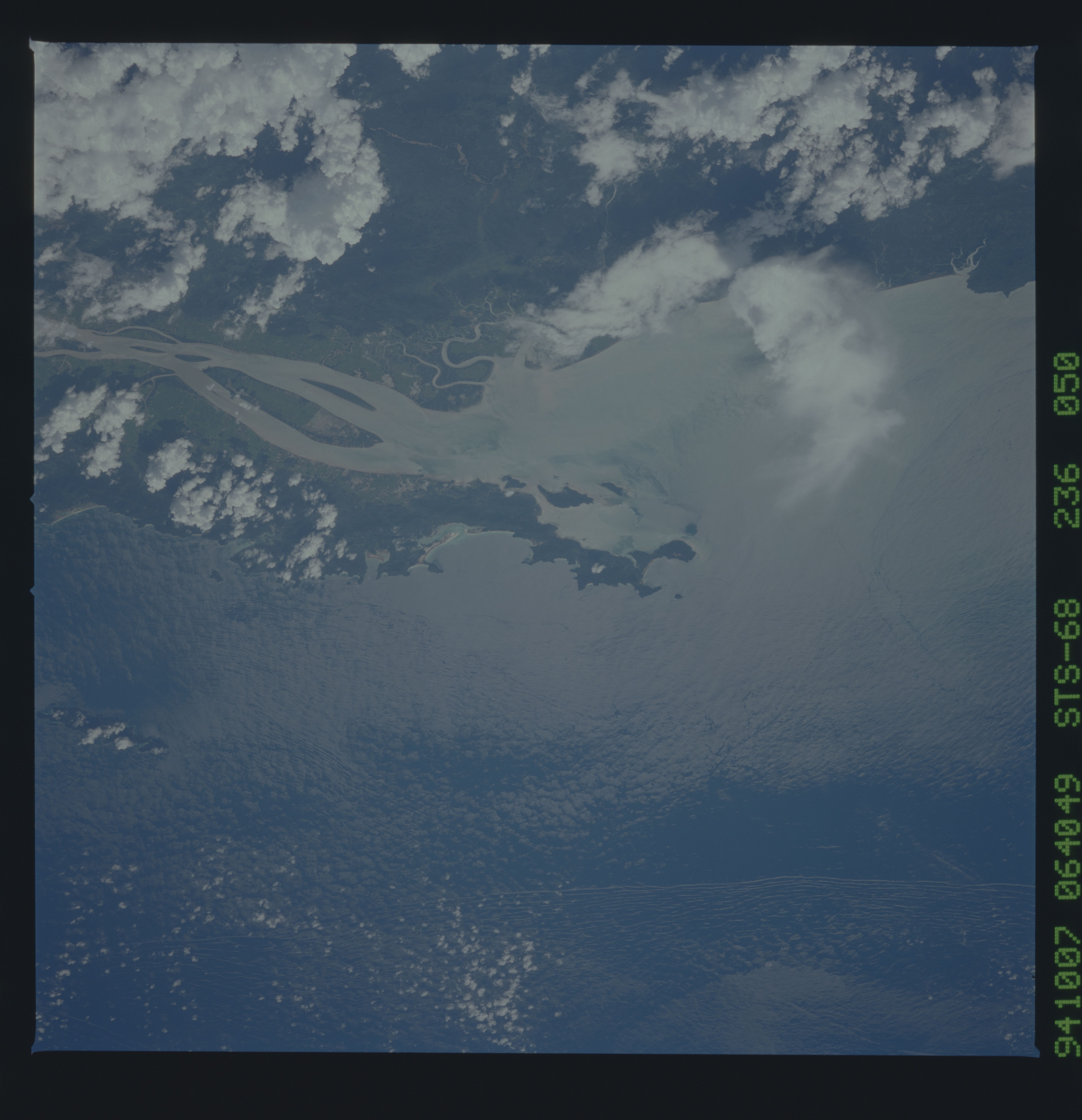
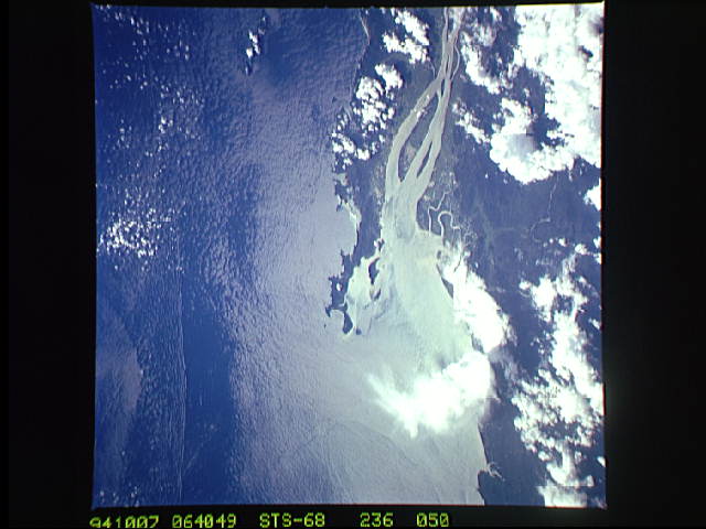
STS068-236-50
| NASA Photo ID | STS068-236-50 |
| Focal Length | 250mm |
| Date taken | 1994.10.07 |
| Time taken | 06:40:49 GMT |
Cloud masks available for this image:
Spacecraft nadir point: 14.5° N, 99.8° E
Photo center point: 13.5° N, 98.0° E
Photo center point by machine learning:
Photo center point: 13.5° N, 98.0° E
Photo center point by machine learning:
Nadir to Photo Center: Southwest
Spacecraft Altitude: 117 nautical miles (217km)
Country or Geographic Name: | MYANMAR (BURMA) |
Features: | RIVER MOUTH, SUNGLINT |
| Features Found Using Machine Learning: | |
Cloud Cover Percentage: | 10 (1-10)% |
Sun Elevation Angle: | 60° |
Sun Azimuth: | 231° |
Camera: | Hasselblad |
Focal Length: | 250mm |
Camera Tilt: | 47 degrees |
Format: | 5046: Kodak, natural color positive, Lumiere 100/5046, ASA 100, standard base |
Film Exposure: | Normal |
| Additional Information | |
| Width | Height | Annotated | Cropped | Purpose | Links |
|---|---|---|---|---|---|
| 5700 pixels | 5900 pixels | No | No | Download Image | |
| 500 pixels | 518 pixels | No | No | Download Image | |
| 640 pixels | 480 pixels | No | No | Download Image |
Download Packaged File
Download a Google Earth KML for this Image
View photo footprint information
Download a GeoTIFF for this photo
Image Caption: none
