STS068-235-88
| NASA Photo ID | STS068-235-88 |
| Focal Length | 250mm |
| Date taken | 1994.10.10 |
| Time taken | 17:15:59 GMT |
Resolutions offered for this image:
3808 x 3843 pixels 634 x 639 pixels 5700 x 5900 pixels 500 x 518 pixels 640 x 480 pixels
3808 x 3843 pixels 634 x 639 pixels 5700 x 5900 pixels 500 x 518 pixels 640 x 480 pixels
Cloud masks available for this image:
Spacecraft nadir point: 32.3° N, 93.6° W
Photo center point: 30.0° N, 94.0° W
Photo center point by machine learning:
Photo center point: 30.0° N, 94.0° W
Photo center point by machine learning:
Nadir to Photo Center: South
Spacecraft Altitude: 111 nautical miles (206km)
Country or Geographic Name: | USA-TEXAS |
Features: | BEAUMONT, SABINE LAKE, AGR. |
| Features Found Using Machine Learning: | |
Cloud Cover Percentage: | 0 (no clouds present) |
Sun Elevation Angle: | 50° |
Sun Azimuth: | 163° |
Camera: | Hasselblad |
Focal Length: | 250mm |
Camera Tilt: | 52 degrees |
Format: | 5046: Kodak, natural color positive, Lumiere 100/5046, ASA 100, standard base |
Film Exposure: | Normal |
| Additional Information | |
| Width | Height | Annotated | Cropped | Purpose | Links |
|---|---|---|---|---|---|
| 3808 pixels | 3843 pixels | No | No | Earth From Space collection | Download Image |
| 634 pixels | 639 pixels | No | No | Earth From Space collection | Download Image |
| 5700 pixels | 5900 pixels | No | No | Download Image | |
| 500 pixels | 518 pixels | No | No | Download Image | |
| 640 pixels | 480 pixels | No | No | Download Image |
Download Packaged File
Download a Google Earth KML for this Image
View photo footprint information
Download a GeoTIFF for this photo
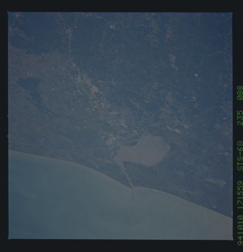
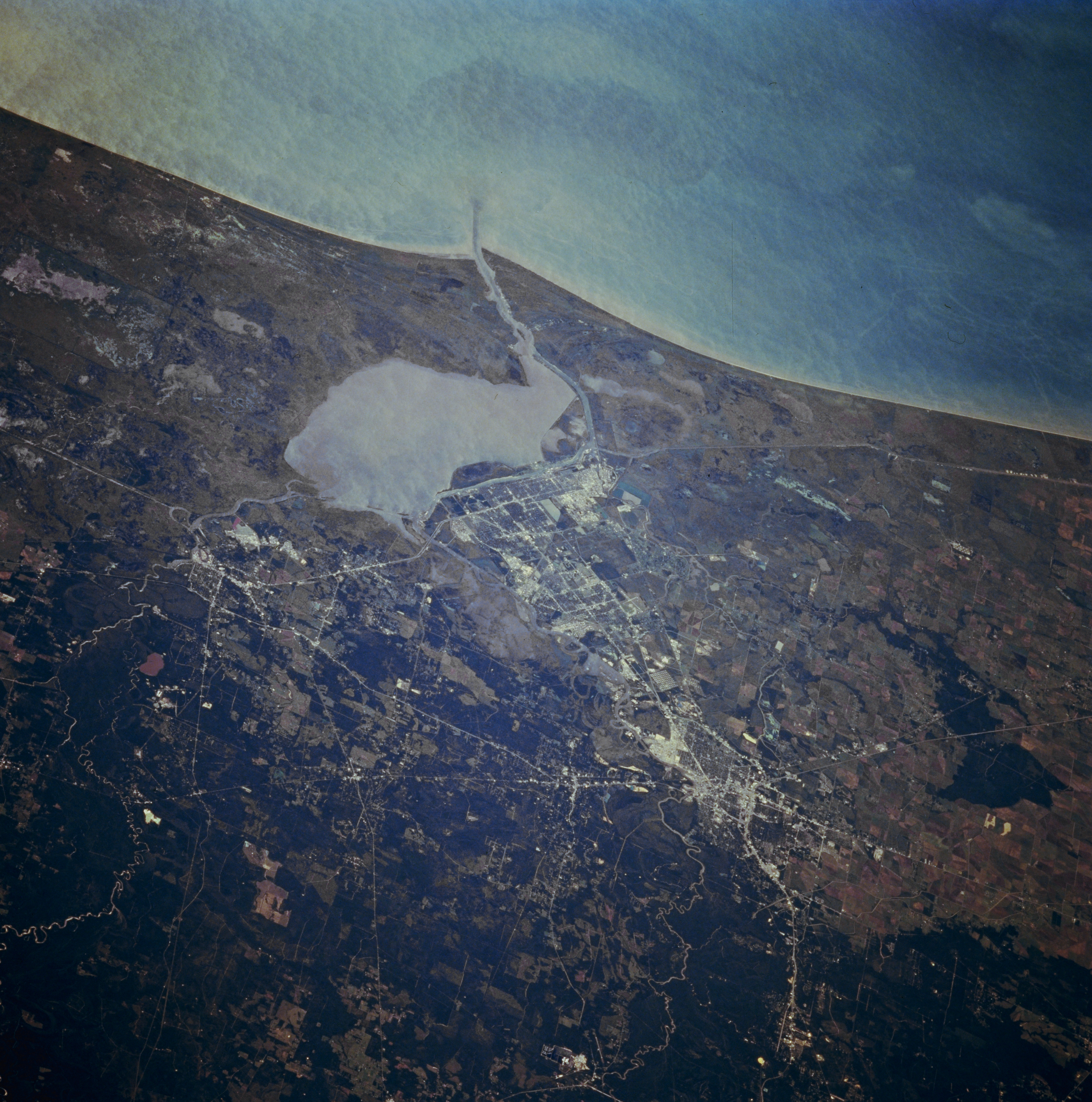
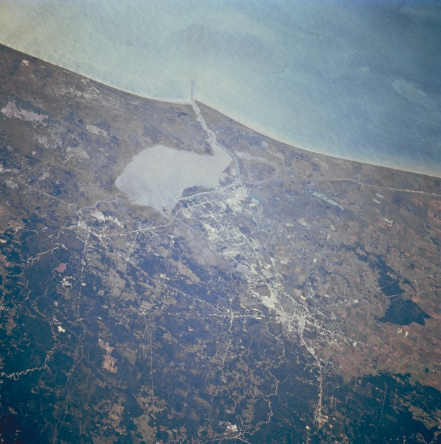
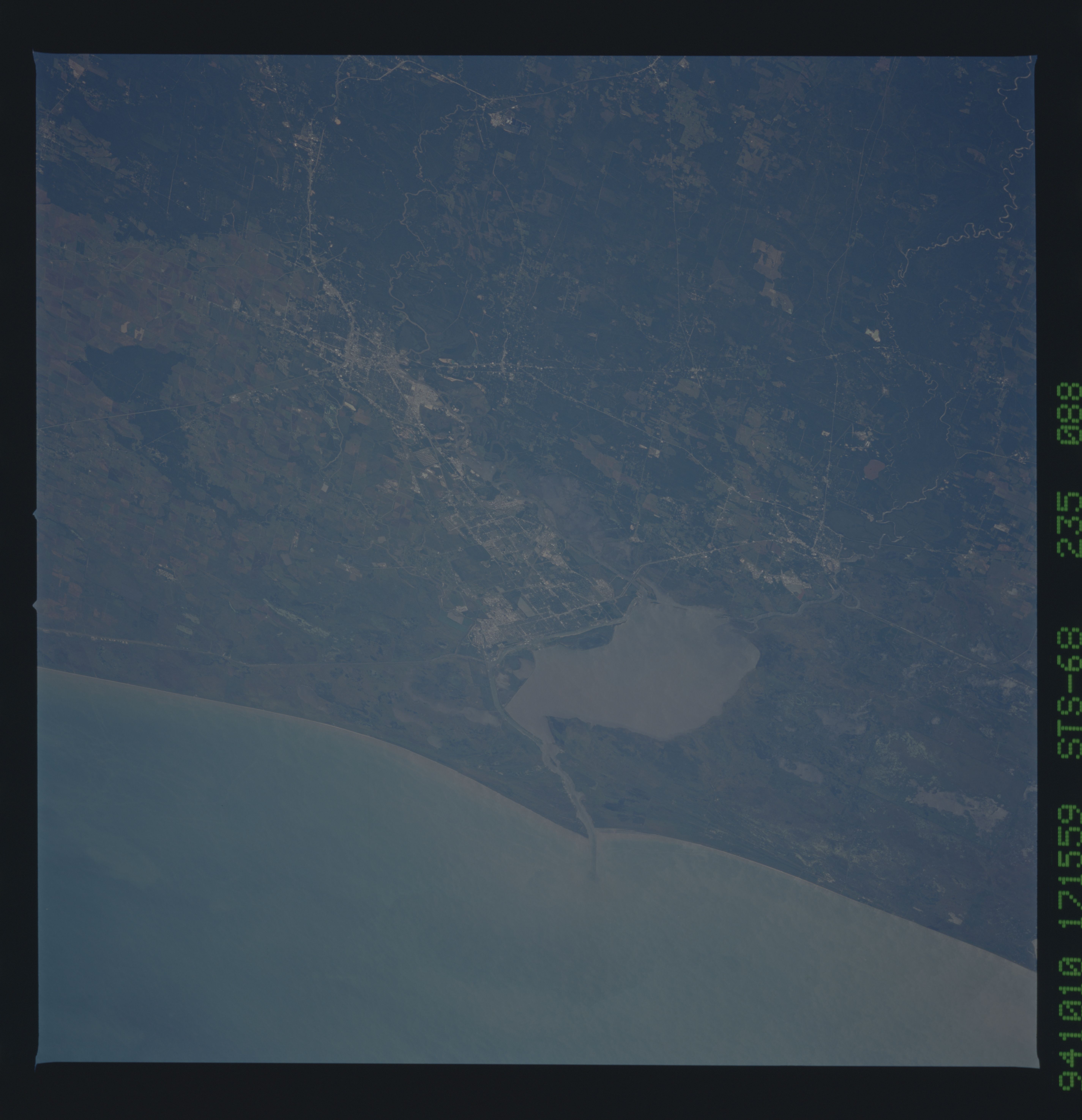
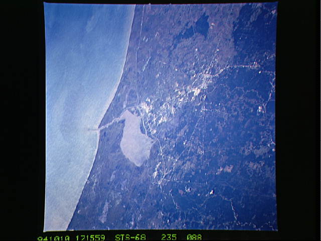
Image Caption: STS068-235-088 Golden Triangle, Texas, U.S.A. October 1994
The Gulf of Mexico and Sabine Lake are masked by the sun reflecting off the water surface (sunglint); however, the photograph shows the relationship of Beaumont, Port Arthur, and Orange--the Golden Triangle of southeast Texas. The three cities, connected economically and industrially for many decades, are physically connected by Interstate Highway 10. The Neches River and the Sabine River meander south and eventually flow into the northern end of Sabine Lake, which is skirted on the northern end by the Intracoastal Waterway. The darker landscape north of the cities is the southern extent of the southeast Texas woodlands, mainly pine forests. Much of the coastal plain is low lying and swampy.
The Gulf of Mexico and Sabine Lake are masked by the sun reflecting off the water surface (sunglint); however, the photograph shows the relationship of Beaumont, Port Arthur, and Orange--the Golden Triangle of southeast Texas. The three cities, connected economically and industrially for many decades, are physically connected by Interstate Highway 10. The Neches River and the Sabine River meander south and eventually flow into the northern end of Sabine Lake, which is skirted on the northern end by the Intracoastal Waterway. The darker landscape north of the cities is the southern extent of the southeast Texas woodlands, mainly pine forests. Much of the coastal plain is low lying and swampy.
