STS068-226-50

| NASA Photo ID | STS068-226-50 |
| Focal Length | 40mm |
| Date taken | 1994.10.02 |
| Time taken | 01:59:19 GMT |
Cloud masks available for this image:
Spacecraft nadir point: 50.7° N, 82.1° E
Photo center point: 51.5° N, 80.5° E
Photo center point by machine learning:
Photo center point: 51.5° N, 80.5° E
Photo center point by machine learning:
Nadir to Photo Center: Northwest
Spacecraft Altitude: 117 nautical miles (217km)
Country or Geographic Name: | RUSSIAN FEDERATION |
Features: | AGR., IRTYSH RIV., LAKES |
| Features Found Using Machine Learning: | |
Cloud Cover Percentage: | 10 (1-10)% |
Sun Elevation Angle: | 13° |
Sun Azimuth: | 112° |
Camera: | Hasselblad |
Focal Length: | 40mm |
Camera Tilt: | 43 degrees |
Format: | 5046: Kodak, natural color positive, Lumiere 100/5046, ASA 100, standard base |
Film Exposure: | Normal |
| Additional Information | |
| Width | Height | Annotated | Cropped | Purpose | Links |
|---|---|---|---|---|---|
| 5700 pixels | 5900 pixels | No | No | Download Image | |
| 500 pixels | 518 pixels | No | No | Download Image | |
| 640 pixels | 480 pixels | No | No | Download Image |
Download Packaged File
Download a Google Earth KML for this Image
View photo footprint information
Download a GeoTIFF for this photo
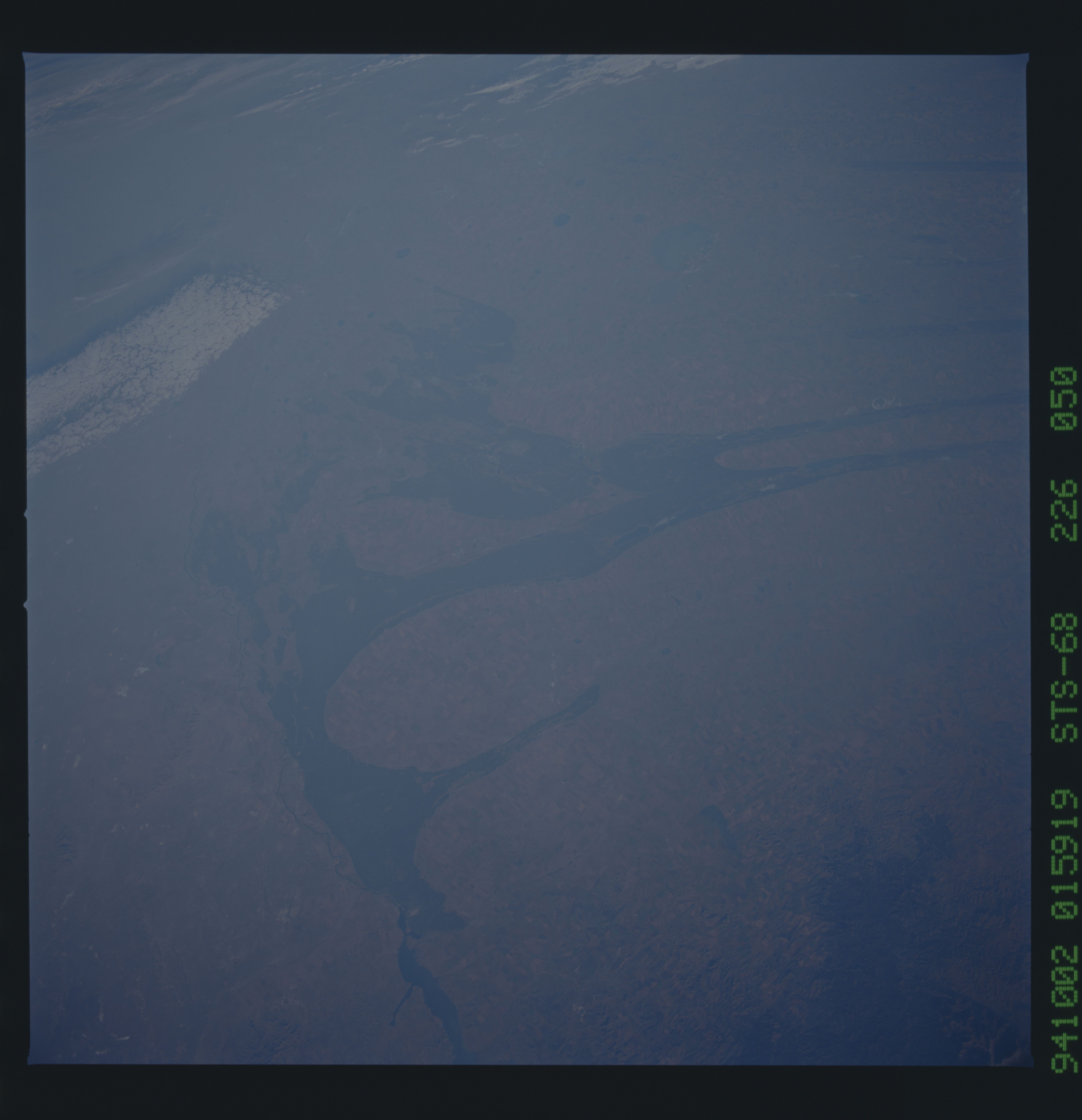
Image Caption: Northwest-looking view of the parallel lines of the
region known as the Kulunda Steppe where a geology dominated by a long
series of parallel lines is a prominent pattern. The Irtysh River lies
along the left side of the view. The city of Semipalatinsk on the
Irtysh is hard to discern in this summer view but railways can be seen
converging on the city (bottom left). The city is prominent in winter
views as a result of city effects such as melted snow, smog and soot.
